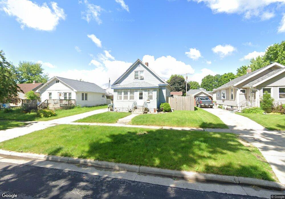
1012 S 20th St Fort Dodge, IA 50501
Estimated Value: $98,000 - $124,413
3
Beds
4
Baths
1,200
Sq Ft
$91/Sq Ft
Est. Value
About This Home
This home is located at 1012 S 20th St, Fort Dodge, IA 50501 and is currently estimated at $109,603, approximately $91 per square foot. 1012 S 20th St is a home located in Webster County with nearby schools including Butler Elementary School, Fort Dodge Middle School, and Fort Dodge Senior High School.
Ownership History
Date
Name
Owned For
Owner Type
Purchase Details
Closed on
Jun 13, 2005
Sold by
Hammen Ryan E and Hammen Angie L
Bought by
Hallsted Donald W and Hallsted Laurie L
Current Estimated Value
Home Financials for this Owner
Home Financials are based on the most recent Mortgage that was taken out on this home.
Original Mortgage
$69,451
Outstanding Balance
$36,398
Interest Rate
5.82%
Mortgage Type
FHA
Estimated Equity
$73,205
Create a Home Valuation Report for This Property
The Home Valuation Report is an in-depth analysis detailing your home's value as well as a comparison with similar homes in the area
Home Values in the Area
Average Home Value in this Area
Purchase History
| Date | Buyer | Sale Price | Title Company |
|---|---|---|---|
| Hallsted Donald W | $70,000 | None Available |
Source: Public Records
Mortgage History
| Date | Status | Borrower | Loan Amount |
|---|---|---|---|
| Open | Hallsted Donald W | $69,451 |
Source: Public Records
Tax History Compared to Growth
Tax History
| Year | Tax Paid | Tax Assessment Tax Assessment Total Assessment is a certain percentage of the fair market value that is determined by local assessors to be the total taxable value of land and additions on the property. | Land | Improvement |
|---|---|---|---|---|
| 2025 | $1,708 | $107,580 | $10,000 | $97,580 |
| 2024 | $1,708 | $89,330 | $10,000 | $79,330 |
| 2023 | $1,468 | $89,330 | $10,000 | $79,330 |
| 2022 | $1,420 | $68,920 | $10,000 | $58,920 |
| 2021 | $1,572 | $68,920 | $10,000 | $58,920 |
| 2020 | $1,572 | $71,630 | $10,000 | $61,630 |
| 2019 | $1,564 | $82,090 | $8,800 | $73,290 |
| 2018 | $1,538 | $70,190 | $8,000 | $62,190 |
| 2017 | $1,352 | $61,350 | $0 | $0 |
| 2016 | $1,322 | $61,350 | $0 | $0 |
| 2015 | $1,322 | $61,350 | $0 | $0 |
| 2014 | $1,294 | $61,350 | $0 | $0 |
Source: Public Records
Map
Nearby Homes
- 1004 S 20th St
- 1016 S 20th St
- 1002 S 20th St
- 1926 11th Ave S
- 1924 11th Ave S
- 1928 11th Ave S
- 1011 S 19th St
- 1015 S 19th St
- 1007 S 19th St
- 1019 S 19th St
- 1021 S 19th St
- 1001 S 19th St
- 1011 S 20th St
- 1007 S 20th St
- 1015 S 20th St
- 1025 S 19th St
- 1021 S 20th St
- 1001 S 20th St
- 1102 S 20th St
- 1027 S 20th St