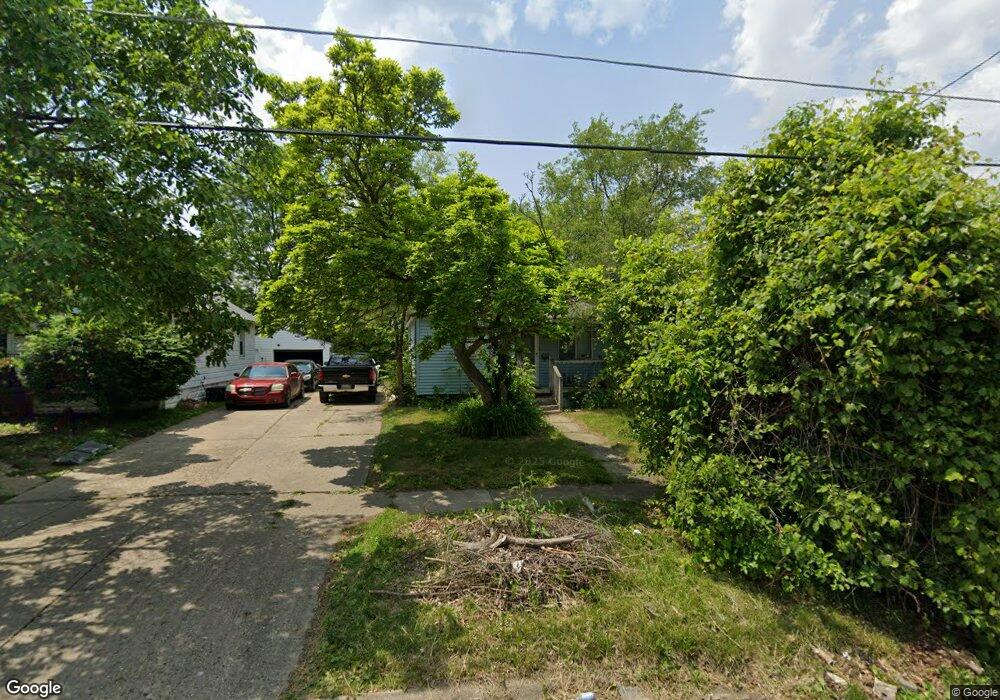
1012 Stocker Ave Flint, MI 48503
Mannhall Park NeighborhoodEstimated Value: $40,238 - $50,000
2
Beds
1
Bath
658
Sq Ft
$66/Sq Ft
Est. Value
About This Home
This home is located at 1012 Stocker Ave, Flint, MI 48503 and is currently estimated at $43,310, approximately $65 per square foot. 1012 Stocker Ave is a home located in Genesee County with nearby schools including Durant-Tuuri-Mott Elementary School, St. Paul Lutheran School, and First Flint Seventh-day Adventist Christian School.
Ownership History
Date
Name
Owned For
Owner Type
Purchase Details
Closed on
Jan 20, 2020
Sold by
Atkins Lakisha
Bought by
Atkins Shvonte
Current Estimated Value
Purchase Details
Closed on
May 1, 2012
Sold by
The Genesee County Land Bank Authority
Bought by
Atkins Lakisha
Purchase Details
Closed on
Dec 21, 2011
Sold by
Genesee County Treasurer
Bought by
Genesee County Land Bank
Purchase Details
Closed on
May 17, 2007
Sold by
Bloss Robert D and Bloss Peggy J
Bought by
Murdoch Thomas C
Create a Home Valuation Report for This Property
The Home Valuation Report is an in-depth analysis detailing your home's value as well as a comparison with similar homes in the area
Home Values in the Area
Average Home Value in this Area
Purchase History
| Date | Buyer | Sale Price | Title Company |
|---|---|---|---|
| Atkins Shvonte | -- | None Available | |
| Atkins Lakisha | $2,800 | None Available | |
| Genesee County Land Bank | -- | None Available | |
| Murdoch Thomas C | $28,000 | Guaranty Title Company |
Source: Public Records
Mortgage History
| Date | Status | Borrower | Loan Amount |
|---|---|---|---|
| Closed | Atkins Lakisha | $0 |
Source: Public Records
Tax History
| Year | Tax Paid | Tax Assessment Tax Assessment Total Assessment is a certain percentage of the fair market value that is determined by local assessors to be the total taxable value of land and additions on the property. | Land | Improvement |
|---|---|---|---|---|
| 2025 | $666 | $13,300 | $0 | $0 |
| 2024 | $614 | $13,100 | $0 | $0 |
| 2023 | $610 | $11,100 | $0 | $0 |
| 2022 | $0 | $9,300 | $0 | $0 |
| 2021 | $626 | $8,300 | $0 | $0 |
| 2020 | $576 | $7,400 | $0 | $0 |
| 2019 | $1,074 | $6,400 | $0 | $0 |
| 2018 | $717 | $7,100 | $0 | $0 |
| 2017 | $1,000 | $0 | $0 | $0 |
| 2016 | $993 | $0 | $0 | $0 |
| 2015 | -- | $0 | $0 | $0 |
| 2014 | -- | $0 | $0 | $0 |
| 2012 | -- | $0 | $0 | $0 |
Source: Public Records
Map
Nearby Homes
- 1017 Stocker Ave
- 1122 Stocker Ave
- 1202 Knapp Ave
- 960 Mann Ave
- 976 Barney Ave
- 3413 Augusta St
- 1308 Barney Ave
- 916 Mann Ave
- 1114 Clancy Ave
- 2805 Reynolds St
- 911 Hughes Ave
- 3217 Arlene Ave
- 3317 Arlene Ave
- 932 Bradley Ave
- 945 Salisbury Ave
- 960 Salisbury Ave
- 1412 S Ballenger Hwy
- 3302 Van Buren Ave
- 3805 Brown St
- 2663 W Court St
- 1016 Stocker Ave
- 1020 Stocker Ave
- 1021 Mann Ave
- 1029 Mann Ave
- 1011 Stocker Ave
- 3210 Corunna Rd
- 3214 Fielding St
- 3115 Fielding St
- 3218 Fielding St
- 3112 Corunna Rd
- 1020 Mann Ave
- 1024 Knapp Ave
- 1016 Knapp Ave
- 1022 Mann Ave
- 1012 Knapp Ave
- 1006 Mann Ave
- 3118 Fielding St
- 1030 Mann Ave
- 1008 Knapp Ave
- 3302 Corunna Rd