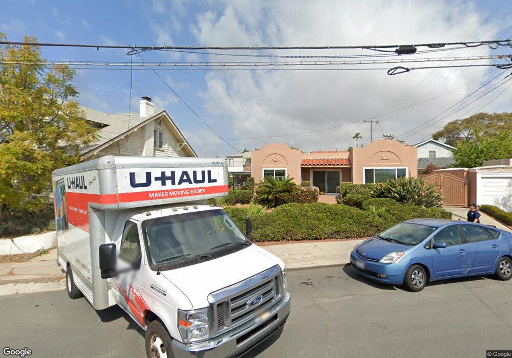
1012 Sutter St San Diego, CA 92103
Middletown NeighborhoodEstimated Value: $1,183,000 - $1,547,000
2
Beds
1
Bath
1,242
Sq Ft
$1,065/Sq Ft
Est. Value
About This Home
This home is located at 1012 Sutter St, San Diego, CA 92103 and is currently estimated at $1,323,290, approximately $1,065 per square foot. 1012 Sutter St is a home located in San Diego County with nearby schools including Grant K-8, Richard Henry Dana Middle School, and Roosevelt International Middle School.
Ownership History
Date
Name
Owned For
Owner Type
Purchase Details
Closed on
Nov 29, 2004
Sold by
Adams F Carol
Bought by
Adams F Carol
Current Estimated Value
Purchase Details
Closed on
Mar 12, 1998
Sold by
Adams Carol F
Bought by
Adams F Carol
Create a Home Valuation Report for This Property
The Home Valuation Report is an in-depth analysis detailing your home's value as well as a comparison with similar homes in the area
Home Values in the Area
Average Home Value in this Area
Purchase History
| Date | Buyer | Sale Price | Title Company |
|---|---|---|---|
| Adams F Carol | -- | -- | |
| Adams F Carol | -- | -- | |
| Adams F Carol | -- | -- | |
| Adams F Carol | -- | -- | |
| Halsey Carol K | -- | -- |
Source: Public Records
Tax History
| Year | Tax Paid | Tax Assessment Tax Assessment Total Assessment is a certain percentage of the fair market value that is determined by local assessors to be the total taxable value of land and additions on the property. | Land | Improvement |
|---|---|---|---|---|
| 2025 | $10,432 | $860,931 | $728,280 | $132,651 |
| 2024 | $10,432 | $844,050 | $714,000 | $130,050 |
| 2023 | $10,201 | $827,500 | $700,000 | $127,500 |
| 2022 | $802 | $60,897 | $20,868 | $40,029 |
| 2021 | $795 | $59,704 | $20,459 | $39,245 |
| 2020 | $785 | $59,093 | $20,250 | $38,843 |
| 2019 | $772 | $57,935 | $19,853 | $38,082 |
| 2018 | $724 | $56,800 | $19,464 | $37,336 |
| 2017 | $707 | $55,687 | $19,083 | $36,604 |
| 2016 | $694 | $54,596 | $18,709 | $35,887 |
| 2015 | $684 | $53,776 | $18,428 | $35,348 |
| 2014 | $674 | $52,724 | $18,068 | $34,656 |
Source: Public Records
Map
Nearby Homes
- 3725 Crane Place
- 909 Sutter St Unit 202
- 0 Bush St Unit (35-38)
- 1404 Bush St
- 3625 Kite St
- 711 W Pennsylvania Ave
- 3611 Reynard Way Unit 17
- 3972 Jackdaw St Unit 211
- 3972 Jackdaw St Unit 114
- 3505 Ibis St
- 1695 Neale St
- 3940 Dove St Unit 101
- 1694 Torrance St
- 3476 Reynard Way
- 630 W Washington St
- 4069 Goldfinch St
- 1654 Linwood St
- 4055 Falcon St Unit 102
- 3459 Reynard Way Unit C
- 1532 Glenwood Dr
Your Personal Tour Guide
Ask me questions while you tour the home.