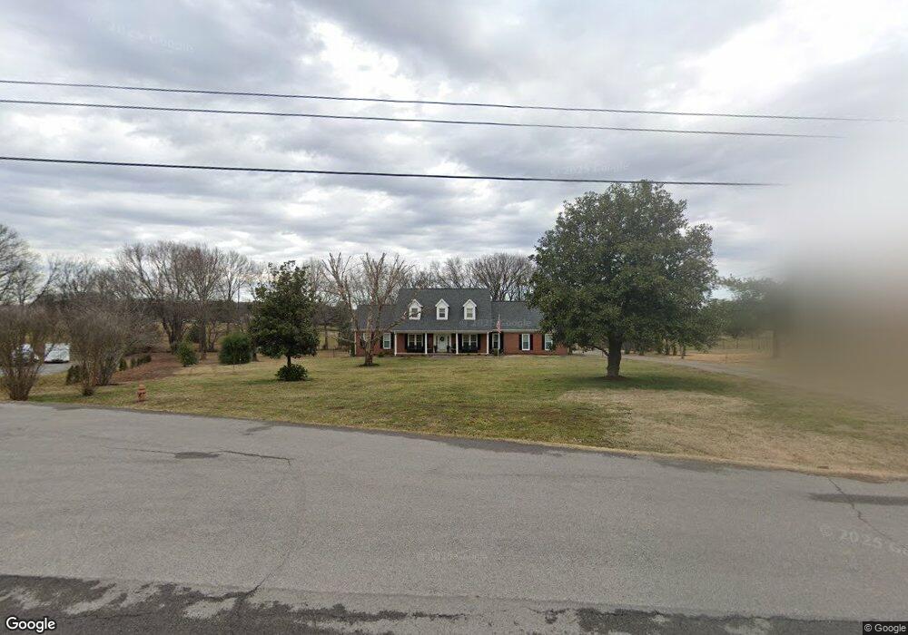
1012 Woodfield Dr Gallatin, TN 37066
Estimated Value: $638,803 - $950,000
--
Bed
3
Baths
2,495
Sq Ft
$312/Sq Ft
Est. Value
About This Home
This home is located at 1012 Woodfield Dr, Gallatin, TN 37066 and is currently estimated at $777,201, approximately $311 per square foot. 1012 Woodfield Dr is a home located in Sumner County with nearby schools including Station Camp High School.
Ownership History
Date
Name
Owned For
Owner Type
Purchase Details
Closed on
Jun 27, 2024
Sold by
Pittman Marilyn Sue and Biggs Marilyn Sue
Bought by
Marilyn Biggs Living Trust and Biggs
Current Estimated Value
Purchase Details
Closed on
Oct 14, 2014
Sold by
Richardson Betty S
Bought by
Pittman Marilyn Sue
Home Financials for this Owner
Home Financials are based on the most recent Mortgage that was taken out on this home.
Original Mortgage
$550,000
Interest Rate
4.15%
Mortgage Type
Purchase Money Mortgage
Purchase Details
Closed on
Jul 23, 2001
Sold by
Wright David Anthony and Wright Dana Ann
Bought by
Richardson James A and Richardson Betty S
Home Financials for this Owner
Home Financials are based on the most recent Mortgage that was taken out on this home.
Original Mortgage
$110,000
Interest Rate
7.08%
Create a Home Valuation Report for This Property
The Home Valuation Report is an in-depth analysis detailing your home's value as well as a comparison with similar homes in the area
Home Values in the Area
Average Home Value in this Area
Purchase History
| Date | Buyer | Sale Price | Title Company |
|---|---|---|---|
| Marilyn Biggs Living Trust | -- | None Listed On Document | |
| Marilyn Biggs Living Trust | -- | None Listed On Document | |
| Pittman Marilyn Sue | $251,000 | None Available | |
| Richardson James A | $219,900 | Realty Title & Escrow Co Inc |
Source: Public Records
Mortgage History
| Date | Status | Borrower | Loan Amount |
|---|---|---|---|
| Previous Owner | Pittman Marilyn Sue | $550,000 | |
| Previous Owner | Richardson James A | $110,000 |
Source: Public Records
Tax History Compared to Growth
Tax History
| Year | Tax Paid | Tax Assessment Tax Assessment Total Assessment is a certain percentage of the fair market value that is determined by local assessors to be the total taxable value of land and additions on the property. | Land | Improvement |
|---|---|---|---|---|
| 2024 | $1,936 | $136,275 | $27,650 | $108,625 |
| 2023 | $1,993 | $88,500 | $19,350 | $69,150 |
| 2022 | $2,002 | $88,500 | $19,350 | $69,150 |
| 2021 | $2,002 | $88,500 | $19,350 | $69,150 |
| 2020 | $2,002 | $88,500 | $19,350 | $69,150 |
| 2019 | $2,002 | $0 | $0 | $0 |
| 2018 | $1,611 | $0 | $0 | $0 |
| 2017 | $1,611 | $0 | $0 | $0 |
| 2016 | $1,611 | $0 | $0 | $0 |
| 2015 | -- | $0 | $0 | $0 |
| 2014 | -- | $0 | $0 | $0 |
Source: Public Records
Map
Nearby Homes
- 662 Neals Ln
- 650 Neals Ln
- 2045 Liberty Ln
- 1616 Long Hollow Pike
- 172 Cavalcade Loop
- 1176 Liberty Ln
- 360 Turfway Park
- The Ridgeport Plan at Carellton
- 249 Cavalcade Loop
- 137 Cavalcade Loop
- 1670 Long Hollow Pike
- 1017 Laurelwood Dr
- 1386 Long Hollow Pike
- 1017 Wickshire Dr
- 305 Remington Ave
- 1328 Wentworth Dr
- 300 Remington Ave
- 1245 Amherst Ct
- 337 Carellton Dr
- 1273 Wentworth Dr
- 1008 Woodfield Dr
- 1018 Woodfield Dr
- 1013 Woodfield Dr
- 1006 Woodfield Dr
- 1015 Woodfield Dr
- 1009 Woodfield Dr
- 1005 Woodfield Dr
- 599 Neals Ln
- 523 Neals Ln
- 1002 Woodfield Dr
- 136 Horntown Rd
- 140 Horntown Rd
- 1001 Woodfield Dr
- 160 Horntown Rd
- 119 Lankford Ln
- 0 Neals Ln
- 169 Lankford Ln
- 127 Lankford Ln
- 405 Neals Ln
- 135 Horntown Rd