10120 N 107th Ave W Rhodes, IA 50234
Estimated Value: $246,000 - $368,000
2
Beds
2
Baths
960
Sq Ft
$301/Sq Ft
Est. Value
About This Home
This home is located at 10120 N 107th Ave W, Rhodes, IA 50234 and is currently estimated at $288,909, approximately $300 per square foot. 10120 N 107th Ave W is a home located in Jasper County with nearby schools including Baxter Elementary School and Baxter High School.
Ownership History
Date
Name
Owned For
Owner Type
Purchase Details
Closed on
Jul 23, 2021
Sold by
Beals 3 Austin J & Jackie K
Bought by
Sei Investments Llc
Current Estimated Value
Purchase Details
Closed on
Jun 29, 2017
Sold by
Stratton Nathan Joe
Bought by
Beals Austin J and Beals Jackie K
Home Financials for this Owner
Home Financials are based on the most recent Mortgage that was taken out on this home.
Original Mortgage
$166,920
Interest Rate
3.75%
Mortgage Type
FHA
Create a Home Valuation Report for This Property
The Home Valuation Report is an in-depth analysis detailing your home's value as well as a comparison with similar homes in the area
Home Values in the Area
Average Home Value in this Area
Purchase History
| Date | Buyer | Sale Price | Title Company |
|---|---|---|---|
| Sei Investments Llc | $250,000 | None Listed On Document | |
| Beals Austin J | $170,000 | None Available |
Source: Public Records
Mortgage History
| Date | Status | Borrower | Loan Amount |
|---|---|---|---|
| Previous Owner | Beals Austin J | $166,920 |
Source: Public Records
Tax History Compared to Growth
Tax History
| Year | Tax Paid | Tax Assessment Tax Assessment Total Assessment is a certain percentage of the fair market value that is determined by local assessors to be the total taxable value of land and additions on the property. | Land | Improvement |
|---|---|---|---|---|
| 2025 | $2,186 | $189,720 | $76,900 | $112,820 |
| 2024 | $2,186 | $152,940 | $59,210 | $93,730 |
| 2023 | $2,132 | $152,940 | $59,210 | $93,730 |
| 2022 | $2,378 | $169,770 | $59,210 | $110,560 |
| 2021 | $2,268 | $160,130 | $59,210 | $100,920 |
| 2020 | $2,268 | $146,480 | $57,290 | $89,190 |
| 2019 | $2,136 | $129,280 | $0 | $0 |
| 2018 | $2,136 | $101,740 | $0 | $0 |
| 2017 | $1,758 | $99,110 | $0 | $0 |
| 2016 | $1,758 | $99,110 | $0 | $0 |
| 2015 | $1,714 | $90,850 | $0 | $0 |
| 2014 | $1,560 | $90,850 | $0 | $0 |
Source: Public Records
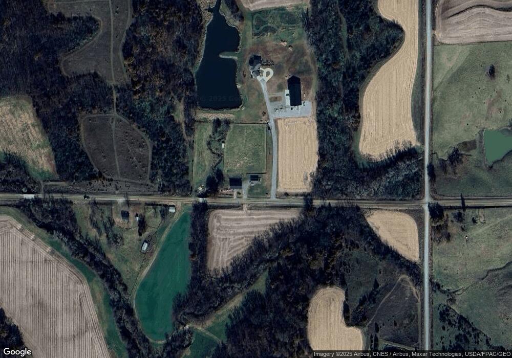
Map
Nearby Homes
- 10527 W 100th St N
- 10550 N 107th Ave W
- 1-81-21 Wild Turkey Hill
- 11200 Highway 330 N
- 11145 W 100th St N
- 10009 W 100th St N
- 10674 N 107th Ave W
- 10702 N 107th Ave W
- 10834 Highway 330 N
- 10776 N 107th Ave W
- 10776 N 107th Ave W
- 11315 W 100th St N
- 10816 N 103rd Ave W
- 10934 N 107th Ave W
- 10934 N 107th Ave W Unit W
- 11430 W 100th St N
- 10850 W 110th St N
- 10220 N 99th Ave W
- 00000 N 99th Ave W
- 10460 N 99th Ave W