10121 Marchant Ave Tustin, CA 92782
Tustin Ranch NeighborhoodEstimated Value: $1,508,238 - $1,644,000
4
Beds
3
Baths
2,035
Sq Ft
$773/Sq Ft
Est. Value
About This Home
This home is located at 10121 Marchant Ave, Tustin, CA 92782 and is currently estimated at $1,573,060, approximately $773 per square foot. 10121 Marchant Ave is a home located in Orange County with nearby schools including Peters Canyon Elementary School, Pioneer Middle School, and Arnold O. Beckman High School.
Ownership History
Date
Name
Owned For
Owner Type
Purchase Details
Closed on
Sep 4, 1998
Sold by
Catellus Residential Tustin 11 Llc
Bought by
Sun William and Sun Patsy Pik Sai
Current Estimated Value
Home Financials for this Owner
Home Financials are based on the most recent Mortgage that was taken out on this home.
Original Mortgage
$263,000
Interest Rate
6.6%
Create a Home Valuation Report for This Property
The Home Valuation Report is an in-depth analysis detailing your home's value as well as a comparison with similar homes in the area
Home Values in the Area
Average Home Value in this Area
Purchase History
| Date | Buyer | Sale Price | Title Company |
|---|---|---|---|
| Sun William | $329,500 | First American Title Ins Co |
Source: Public Records
Mortgage History
| Date | Status | Borrower | Loan Amount |
|---|---|---|---|
| Previous Owner | Sun William | $263,000 |
Source: Public Records
Tax History Compared to Growth
Tax History
| Year | Tax Paid | Tax Assessment Tax Assessment Total Assessment is a certain percentage of the fair market value that is determined by local assessors to be the total taxable value of land and additions on the property. | Land | Improvement |
|---|---|---|---|---|
| 2025 | $5,552 | $535,360 | $217,735 | $317,625 |
| 2024 | $5,552 | $524,863 | $213,465 | $311,398 |
| 2023 | $5,425 | $514,572 | $209,279 | $305,293 |
| 2022 | $6,289 | $504,483 | $205,176 | $299,307 |
| 2021 | $6,147 | $494,592 | $201,153 | $293,439 |
| 2020 | $6,051 | $489,521 | $199,090 | $290,431 |
| 2019 | $5,936 | $479,923 | $195,186 | $284,737 |
| 2018 | $5,802 | $470,513 | $191,359 | $279,154 |
| 2017 | $5,618 | $461,288 | $187,607 | $273,681 |
| 2016 | $5,519 | $452,244 | $183,929 | $268,315 |
| 2015 | $5,466 | $445,451 | $181,166 | $264,285 |
| 2014 | $5,422 | $436,726 | $177,617 | $259,109 |
Source: Public Records
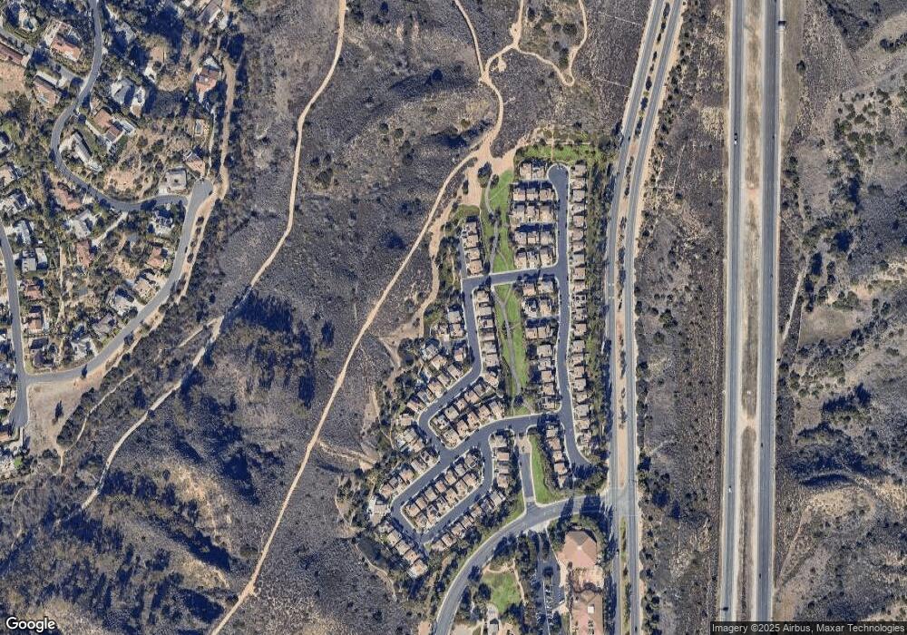
Map
Nearby Homes
- 10141 Overhill Dr
- 10181 Overhill Dr
- 10255 Overhill Dr
- 10182 Cowan Heights Dr
- 10321 Overhill Dr
- 9885 Deerhaven Dr
- 10821 Bronco Cir
- 116 Clear Falls
- 10461 Shadyridge Dr
- 10721 Equestrian Dr
- 10940 Tantlinger Dr
- 2719 Dietrich Dr
- 212 Clear Falls
- 236 S Grisly Canyon Dr Unit N
- 7848 E Salinas Ct
- 59 Longchamp
- 2646 Dunstan Dr
- 1935 Maverick Ln
- 224 Clear Falls
- 1232 Peacock Hill Dr
- 10129 Marchant Ave
- 2265 Buss Ln
- 10116 Marchant Ave
- 10124 Marchant Ave
- 10132 Marchant Ave
- 2272 Buss Ln
- 2260 Buss Ln
- 2266 Buss Ln
- 10140 Marchant Ave
- 10102 Kellams Ave
- 10165 Marchant Ave
- 10148 Marchant Ave
- 10173 Marchant Ave
- 10096 Kellams Ave
- 10181 Marchant Ave
- 10090 Kellams Ave
- 2301 Kidd Ln
- 2290 De Sutter Dr
- 2300 Kidd Ln
- 10164 Marchant Ave