10122 Robins Nest Ln Gloucester, VA 23061
Ware Neck NeighborhoodEstimated Value: $378,419
Studio
--
Bath
--
Sq Ft
13,997,134
Sq Ft Lot
About This Home
This home is located at 10122 Robins Nest Ln, Gloucester, VA 23061 and is currently estimated at $378,419. 10122 Robins Nest Ln is a home located in Gloucester County with nearby schools including Botetourt Elementary School, Peasley Middle School, and Gloucester High School.
Ownership History
Date
Name
Owned For
Owner Type
Purchase Details
Closed on
Jan 2, 2007
Sold by
Farinholt William J
Bought by
Miller James L and Miller Sallie R
Current Estimated Value
Home Financials for this Owner
Home Financials are based on the most recent Mortgage that was taken out on this home.
Original Mortgage
$250,000
Outstanding Balance
$148,889
Interest Rate
6.24%
Mortgage Type
Purchase Money Mortgage
Estimated Equity
$229,530
Create a Home Valuation Report for This Property
The Home Valuation Report is an in-depth analysis detailing your home's value as well as a comparison with similar homes in the area
Home Values in the Area
Average Home Value in this Area
Purchase History
| Date | Buyer | Sale Price | Title Company |
|---|---|---|---|
| Miller James L | $250,000 | None Available |
Source: Public Records
Mortgage History
| Date | Status | Borrower | Loan Amount |
|---|---|---|---|
| Open | Miller James L | $250,000 |
Source: Public Records
Tax History
| Year | Tax Paid | Tax Assessment Tax Assessment Total Assessment is a certain percentage of the fair market value that is determined by local assessors to be the total taxable value of land and additions on the property. | Land | Improvement |
|---|---|---|---|---|
| 2025 | $1,306 | $529,580 | $529,580 | $0 |
| 2024 | $1,306 | $529,580 | $529,580 | $0 |
| 2023 | $1,240 | $529,580 | $529,580 | $0 |
| 2022 | $1,077 | $534,930 | $534,930 | $0 |
| 2021 | $1,032 | $534,930 | $534,930 | $0 |
| 2020 | $1,032 | $534,930 | $534,930 | $0 |
| 2019 | $966 | $534,930 | $534,930 | $0 |
| 2017 | $966 | $534,930 | $534,930 | $0 |
| 2016 | $1,130 | $467,060 | $467,060 | $0 |
| 2015 | $1,106 | $312,900 | $312,900 | $0 |
| 2014 | $915 | $312,900 | $312,900 | $0 |
Source: Public Records
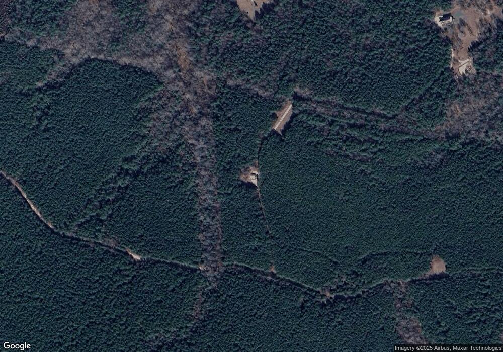
Map
Nearby Homes
- 3.1+AC Buckskin Trail
- 00 Buckskin Trail
- 000 Horse Run Rd
- 3.1+AC Horse Run Rd
- 10114 New Hope Ct
- 10.88 AC Beech Creek Rd
- 10785 Hornets Nest Rd
- 9789 Honey Tree Ct
- 9851 Autumn Woods Ln
- 9909 Friendship Rd
- 1A Carter Hill St
- 00 New Upton Farms Ln
- LOT 2 Riverwatch Dr
- 9273 Sheldon Ln
- 27 E West Pkwy
- 9550 Gee Farm Rd
- 11802 Deep Point Ln
- 9467 Dutton Rd
- 686 Shore Dr
- 8685 Thomas Jefferson Way
- 10190 Robins Nest Ln
- 10123 Robins Nest Ln
- 10238 Robins Nest Ln
- 10292 Robins Nest Ln
- 10203 Robins Nest Ln
- 10404 Robins Nest Ln
- 10389 Robins Nest Ln
- 9930 Buckskin Trail
- 10002 Buckskin Trail
- 9950 Buckskin Trail
- 10086 Buckskin Trail
- 10030 Buckskin Trail
- 0 Buckskin Trail Unit 1044652
- LOT 44 Buckskin Trail
- 0 Buckskin Trail Unit 1607694
- 0 Buckskin Trail Unit 103911
- 10065 Buckskin Trail
- 10085 Buckskin Trail
- 10037 Buckskin Trail
- 9993 Buckskin Trail
Your Personal Tour Guide
Ask me questions while you tour the home.