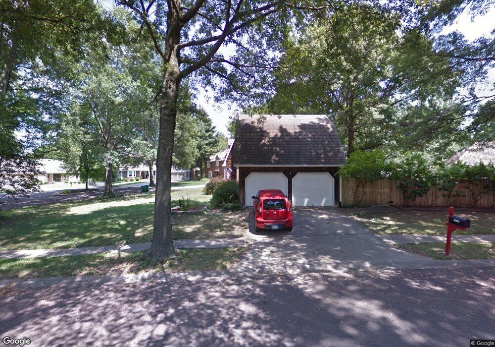
10127 Craig Dr Overland Park, KS 66212
Pinehurst NeighborhoodEstimated Value: $571,801 - $611,000
5
Beds
4
Baths
2,760
Sq Ft
$213/Sq Ft
Est. Value
About This Home
This home is located at 10127 Craig Dr, Overland Park, KS 66212 and is currently estimated at $588,950, approximately $213 per square foot. 10127 Craig Dr is a home located in Johnson County with nearby schools including Brookridge Elementary School, Indian Woods Middle School, and Shawnee Mission South High School.
Ownership History
Date
Name
Owned For
Owner Type
Purchase Details
Closed on
Oct 24, 2012
Sold by
Kwapiszwski Ralph J and Kwapiszwski Janet K
Bought by
Rich Adam and Kalender Rich Jessica
Current Estimated Value
Home Financials for this Owner
Home Financials are based on the most recent Mortgage that was taken out on this home.
Original Mortgage
$232,000
Outstanding Balance
$160,392
Interest Rate
3.4%
Mortgage Type
New Conventional
Estimated Equity
$428,558
Purchase Details
Closed on
Aug 13, 2008
Sold by
Kwapiszeski Ralph J and Kwapiszeski Janet K
Bought by
Kwapiszeski Ralph J and Kwapiszeski Janet K
Purchase Details
Closed on
Aug 18, 2005
Sold by
Kwapiszeski Ralph J and Kwapiszeski Janet K
Bought by
Kwapiszeski Janet K and Kwapiszeski Ralph J
Create a Home Valuation Report for This Property
The Home Valuation Report is an in-depth analysis detailing your home's value as well as a comparison with similar homes in the area
Home Values in the Area
Average Home Value in this Area
Purchase History
| Date | Buyer | Sale Price | Title Company |
|---|---|---|---|
| Rich Adam | -- | Continental Title | |
| Kwapiszeski Ralph J | -- | None Available | |
| Kwapiszeski Janet K | -- | None Available |
Source: Public Records
Mortgage History
| Date | Status | Borrower | Loan Amount |
|---|---|---|---|
| Open | Rich Adam | $232,000 |
Source: Public Records
Tax History Compared to Growth
Tax History
| Year | Tax Paid | Tax Assessment Tax Assessment Total Assessment is a certain percentage of the fair market value that is determined by local assessors to be the total taxable value of land and additions on the property. | Land | Improvement |
|---|---|---|---|---|
| 2024 | $5,713 | $58,662 | $14,405 | $44,257 |
| 2023 | $5,643 | $57,385 | $14,405 | $42,980 |
| 2022 | $5,229 | $53,556 | $14,405 | $39,151 |
| 2021 | $4,532 | $44,344 | $11,514 | $32,830 |
| 2020 | $4,484 | $43,907 | $10,011 | $33,896 |
| 2019 | $4,016 | $39,376 | $7,706 | $31,670 |
| 2018 | $3,997 | $39,019 | $7,706 | $31,313 |
| 2017 | $4,157 | $39,905 | $7,706 | $32,199 |
| 2016 | $3,859 | $36,443 | $7,706 | $28,737 |
| 2015 | $3,541 | $34,109 | $7,706 | $26,403 |
| 2013 | -- | $33,177 | $7,706 | $25,471 |
Source: Public Records
Map
Nearby Homes
- 7414 W 102nd Ct
- 7402 W 102nd Ct
- 7433 W 102nd Ct
- 7216 W 100th Place
- 8201 W 100th Terrace
- 7801 W 98th Terrace
- 9916 Floyd St
- 7617 W 98th Terrace
- 7916 W 98th Terrace
- 9766 Craig Dr
- 8100 W 98th St
- 9712 Craig Dr
- 6912 W 98th Terrace
- 9607 Hardy St
- 8812 W 98th Terrace
- 8902 W 97th Terrace
- 9006 W 104th Terrace
- 9222 W 101st St
- 9801 Grandview St
- 9206 W 100th St
- 10121 Craig Dr
- 10133 Craig Dr
- 10139 Craig Dr
- 10115 Craig Dr
- 10105 Lowell Ave
- 10109 Lowell Ave
- 10109 Craig Dr
- 10145 Craig Dr
- 10105 Craig Dr
- 10117 Lowell Ave
- 10120 Craig Dr
- 10121 Lowell Ave
- 10101 Craig Dr
- 7801 W 101st St
- 10114 Craig Dr
- 10123 Lowell Ave
- 10134 Craig Dr
- 10151 Craig Dr
- 7812 W 101st St
- 7805 W 101st St