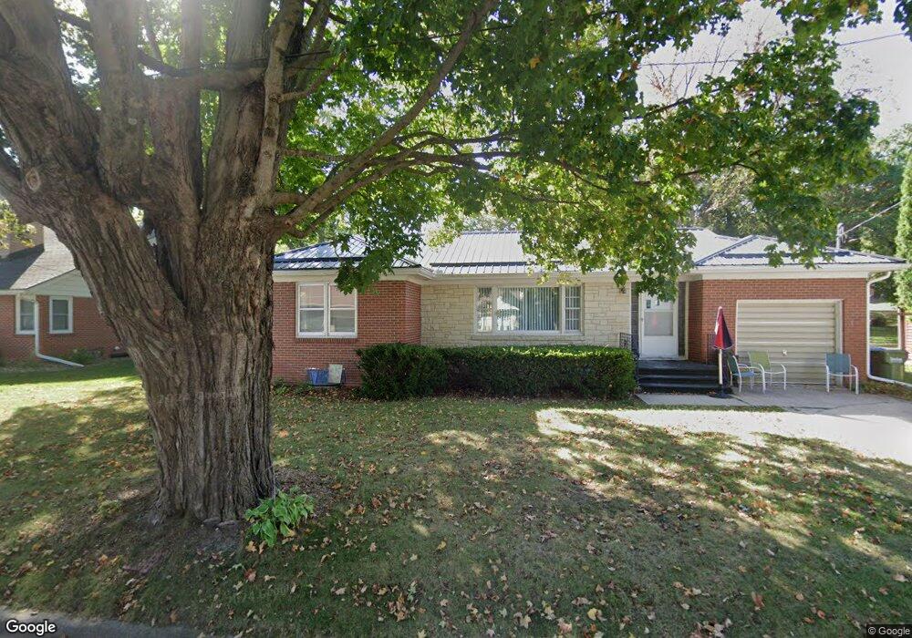
1013 1st St NW Elkader, IA 52043
Estimated Value: $118,518 - $143,000
2
Beds
1
Bath
970
Sq Ft
$131/Sq Ft
Est. Value
About This Home
This home is located at 1013 1st St NW, Elkader, IA 52043 and is currently estimated at $127,380, approximately $131 per square foot. 1013 1st St NW is a home located in Clayton County with nearby schools including Central Elementary School and Central Middle School/High School.
Ownership History
Date
Name
Owned For
Owner Type
Purchase Details
Closed on
Aug 2, 2024
Sold by
Meyer Linda L
Bought by
Dunlap Corwin R and Dunlap Margaret J
Current Estimated Value
Purchase Details
Closed on
Jul 16, 2010
Sold by
Guelling Roger E
Bought by
Meyer Keith C and Meyer Linda L
Home Financials for this Owner
Home Financials are based on the most recent Mortgage that was taken out on this home.
Original Mortgage
$20,000
Interest Rate
5.05%
Mortgage Type
Future Advance Clause Open End Mortgage
Create a Home Valuation Report for This Property
The Home Valuation Report is an in-depth analysis detailing your home's value as well as a comparison with similar homes in the area
Home Values in the Area
Average Home Value in this Area
Purchase History
| Date | Buyer | Sale Price | Title Company |
|---|---|---|---|
| Dunlap Corwin R | $120,000 | None Listed On Document | |
| Meyer Keith C | $66,500 | None Available |
Source: Public Records
Mortgage History
| Date | Status | Borrower | Loan Amount |
|---|---|---|---|
| Previous Owner | Meyer Keith C | $20,000 |
Source: Public Records
Tax History Compared to Growth
Tax History
| Year | Tax Paid | Tax Assessment Tax Assessment Total Assessment is a certain percentage of the fair market value that is determined by local assessors to be the total taxable value of land and additions on the property. | Land | Improvement |
|---|---|---|---|---|
| 2025 | $1,796 | $132,897 | $12,974 | $119,923 |
| 2024 | $1,778 | $95,773 | $11,282 | $84,491 |
| 2023 | $1,784 | $95,773 | $11,282 | $84,491 |
| 2022 | $1,650 | $77,235 | $10,283 | $66,952 |
| 2021 | $1,480 | $77,235 | $10,283 | $66,952 |
| 2020 | $1,480 | $72,568 | $10,283 | $62,285 |
| 2019 | $1,358 | $72,568 | $10,283 | $62,285 |
| 2018 | $1,358 | $68,543 | $10,283 | $58,260 |
| 2017 | $1,332 | $68,543 | $10,283 | $58,260 |
| 2015 | $1,212 | $61,521 | $9,961 | $51,560 |
| 2014 | $1,212 | $61,521 | $9,961 | $51,560 |
Source: Public Records
Map
Nearby Homes
- 707 N Main St
- 702 N Main St
- 710 Woodland Dr NW
- 301 N 1st St
- 302 N 3rd St
- 117 S Main St
- 209 2nd St SW
- 0 E Bridge St
- 247 Franzen Ridge Rd
- 249 Franzen Ridge Rd
- 26642 Iowa 13
- 27766 Highway 13
- 0 13 Hwy Unit NBR20255145
- 14149 Iowa 56
- 27455 Harbor Rd
- TBD Country Rd
- 0 Grandview Rd
- 305 S Russell St
- TBD Birch Rd
- 100 Volga St
- 1011 1st St NW
- 1015 N 1st St
- 1015 1st St NW
- 816 Carter St NW
- 1008 1st St NW
- 814 Carter St NW
- 1006 1st St NW
- 101 Havens Dr NW
- 1012 N 1st St
- 1012 1st St NW
- 1003 1st St NW
- 1014 N 1st St
- 1014 1st St NW
- 812 Carter St NW
- 1002 1st St NW
- 1002 1st St NW
- 618 Carter St NW
- 1002 NW First St
- 823 Carter St NW
- 821 Carter St NW