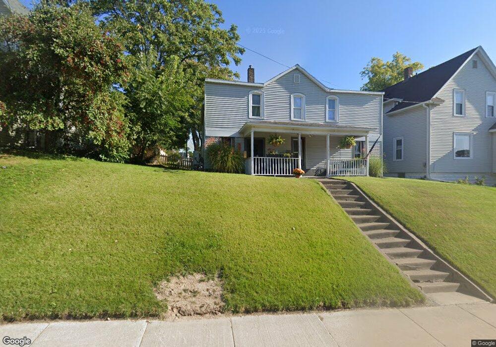
1013 Broad St Saint Joseph, MI 49085
Estimated Value: $258,579 - $352,000
4
Beds
2
Baths
1,798
Sq Ft
$170/Sq Ft
Est. Value
About This Home
This home is located at 1013 Broad St, Saint Joseph, MI 49085 and is currently estimated at $305,895, approximately $170 per square foot. 1013 Broad St is a home located in Berrien County with nearby schools including Upton Middle School, St. Joseph High School, and Benton Harbor Charter School Academy.
Ownership History
Date
Name
Owned For
Owner Type
Purchase Details
Closed on
Jun 4, 2018
Sold by
Hunt Edward M and Hunt Paula C
Bought by
Edward Morris H and Edward Paula H
Current Estimated Value
Purchase Details
Closed on
May 31, 2018
Sold by
Hunt Edward M and Hunt Paula C
Bought by
Edward Morris And Paula Anne Hunt Trust
Purchase Details
Closed on
Dec 30, 1997
Purchase Details
Closed on
Aug 4, 1988
Purchase Details
Closed on
Mar 4, 1983
Create a Home Valuation Report for This Property
The Home Valuation Report is an in-depth analysis detailing your home's value as well as a comparison with similar homes in the area
Home Values in the Area
Average Home Value in this Area
Purchase History
| Date | Buyer | Sale Price | Title Company |
|---|---|---|---|
| Edward Morris H | -- | None Listed On Document | |
| Edward Morris And Paula Anne Hunt Trust | -- | None Available | |
| -- | $50,000 | -- | |
| -- | $34,900 | -- | |
| -- | $24,500 | -- |
Source: Public Records
Tax History
| Year | Tax Paid | Tax Assessment Tax Assessment Total Assessment is a certain percentage of the fair market value that is determined by local assessors to be the total taxable value of land and additions on the property. | Land | Improvement |
|---|---|---|---|---|
| 2025 | $3,119 | $117,700 | $0 | $0 |
| 2024 | $3,054 | $112,600 | $0 | $0 |
| 2023 | $2,923 | $95,000 | $0 | $0 |
| 2022 | $2,788 | $78,000 | $0 | $0 |
| 2021 | $2,748 | $74,000 | $14,000 | $60,000 |
| 2020 | $2,710 | $71,000 | $0 | $0 |
| 2019 | $2,680 | $62,100 | $14,800 | $47,300 |
Source: Public Records
Map
Nearby Homes
- 1221 Broad St Unit 3
- 907 Market St
- 516 Church St
- 1210 Guernsey Ct
- 800 Whitwam Dr Unit 1 & 1A
- 800 Whitwam Dr Unit Slip 12
- 800 Whitwam Dr Unit Slip 14
- 403 State St Unit 3
- 327 State St Unit 2
- 398 Anchors Way Unit 87s
- 398 Anchors Way Unit 82s
- 312 Water St Unit 47
- 312 Water St Unit 52
- 240 Water St Unit 1A
- 1004 Harrison Ave
- 260 Water St Unit 5E
- 622 Vine St
- 340 Lake St
- 126 Mariners Cove
- 144 Mariners Cove
Your Personal Tour Guide
Ask me questions while you tour the home.