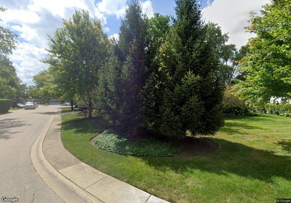
1013 Brookside Ln Deerfield, IL 60015
Estimated Value: $513,000 - $828,000
3
Beds
3
Baths
1,350
Sq Ft
$494/Sq Ft
Est. Value
About This Home
This home is located at 1013 Brookside Ln, Deerfield, IL 60015 and is currently estimated at $666,329, approximately $493 per square foot. 1013 Brookside Ln is a home located in Lake County with nearby schools including Kipling Elementary School, Alan B Shepard Middle School, and Deerfield High School.
Ownership History
Date
Name
Owned For
Owner Type
Purchase Details
Closed on
Apr 23, 2007
Sold by
Burchall John E
Bought by
Myonsook Lee Jae S and Myonsook Lee
Current Estimated Value
Home Financials for this Owner
Home Financials are based on the most recent Mortgage that was taken out on this home.
Original Mortgage
$328,000
Outstanding Balance
$198,645
Interest Rate
6.18%
Mortgage Type
Unknown
Estimated Equity
$467,684
Purchase Details
Closed on
Oct 25, 2005
Sold by
Burchall John E
Bought by
Burchall John E and John E Burchall Grantor Trust
Create a Home Valuation Report for This Property
The Home Valuation Report is an in-depth analysis detailing your home's value as well as a comparison with similar homes in the area
Home Values in the Area
Average Home Value in this Area
Purchase History
| Date | Buyer | Sale Price | Title Company |
|---|---|---|---|
| Myonsook Lee Jae S | $410,000 | Greater Illinois Title Co | |
| Burchall John E | -- | -- |
Source: Public Records
Mortgage History
| Date | Status | Borrower | Loan Amount |
|---|---|---|---|
| Open | Myonsook Lee Jae S | $328,000 |
Source: Public Records
Tax History
| Year | Tax Paid | Tax Assessment Tax Assessment Total Assessment is a certain percentage of the fair market value that is determined by local assessors to be the total taxable value of land and additions on the property. | Land | Improvement |
|---|---|---|---|---|
| 2024 | $18,276 | $219,008 | $49,857 | $169,151 |
| 2023 | $18,545 | $210,180 | $47,847 | $162,333 |
| 2022 | $18,545 | $206,728 | $51,392 | $155,336 |
| 2021 | $17,481 | $221,179 | $49,549 | $171,630 |
| 2020 | $18,764 | $221,644 | $49,653 | $171,991 |
| 2019 | $19,998 | $240,330 | $49,569 | $190,761 |
| 2018 | $17,176 | $230,018 | $52,539 | $177,479 |
| 2017 | $16,100 | $229,284 | $52,371 | $176,913 |
| 2016 | $15,563 | $220,614 | $50,391 | $170,223 |
| 2015 | $15,088 | $207,286 | $47,347 | $159,939 |
| 2014 | $10,086 | $178,294 | $47,686 | $130,608 |
| 2012 | $9,947 | $122,828 | $47,266 | $75,562 |
Source: Public Records
Map
Nearby Homes
- 954 Osterman Ave
- 312 Pine St
- 421 Elm St Unit 6K
- 834 Chestnut St
- 333 Birchwood Ave
- 1030 Chestnut St
- 517 Appletree Ln
- 926 Cedar St
- 938 Hemlock St
- 521 Deerfield Rd
- 453 Longfellow Ave
- 1560 Samanthas Way
- 757 Kipling Place
- 1004 Broadmoor Place
- 1430 Country Ln
- 1650 Landy Ln
- 1054 Broadmoor Place
- 1660 Landy Ln
- 280 Jonah Ct
- 1670 Landy Ln
- 1021 Brookside Ln
- 512 Radcliffe Cir
- 515 Jonquil Terrace
- 965 Brookside Ln
- 1031 Brookside Ln
- 505 Jonquil Terrace
- 1014 Brookside Ln
- 506 Radcliffe Cir
- 1006 Brookside Ln
- 1022 Brookside Ln
- 957 Brookside Ln
- 465 Jonquil Terrace
- 1030 Brookside Ln
- 513 Radcliffe Cir
- 502 Radcliffe Cir
- 951 Brookside Ln
- 507 Radcliffe Cir
- 508 Jonquil Terrace
- 514 Jonquil Terrace
- 518 Jonquil Terrace
