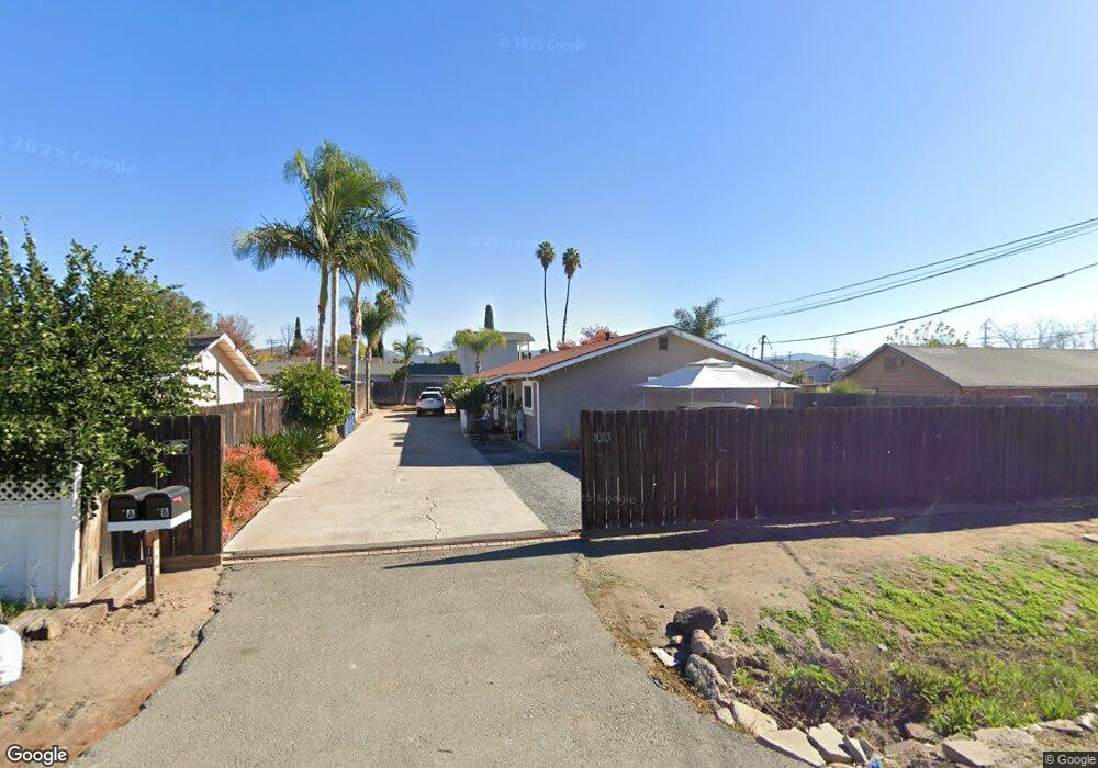
1013 N 1st St Unit A El Cajon, CA 92021
Bostonia NeighborhoodEstimated Value: $797,961 - $980,000
4
Beds
2
Baths
1,800
Sq Ft
$502/Sq Ft
Est. Value
About This Home
This home is located at 1013 N 1st St Unit A, El Cajon, CA 92021 and is currently estimated at $903,990, approximately $502 per square foot. 1013 N 1st St Unit A is a home located in San Diego County with nearby schools including Bostonia Elementary School, W.D. Hall Elementary School, and Greenfield Middle School.
Ownership History
Date
Name
Owned For
Owner Type
Purchase Details
Closed on
Dec 14, 2011
Sold by
Lynch Gerald Joseph and Lynch Teresa Del Carmen
Bought by
Lynch Gerald Joseph and Lynch Teresa Del Carmen
Current Estimated Value
Purchase Details
Closed on
May 11, 2000
Sold by
Hwns & Balistreri John & Rosalie M Ancona Fa and Ancona Catherine
Bought by
Lynch Gerald Joseph and Lynch Teresa Delcarmen
Purchase Details
Closed on
Aug 3, 1995
Sold by
Ancona Catherine
Bought by
Ancona Catherine
Create a Home Valuation Report for This Property
The Home Valuation Report is an in-depth analysis detailing your home's value as well as a comparison with similar homes in the area
Home Values in the Area
Average Home Value in this Area
Purchase History
| Date | Buyer | Sale Price | Title Company |
|---|---|---|---|
| Lynch Gerald Joseph | -- | None Available | |
| Lynch Gerald Joseph | $180,000 | Chicago Title | |
| Ancona Catherine | -- | -- |
Source: Public Records
Tax History Compared to Growth
Tax History
| Year | Tax Paid | Tax Assessment Tax Assessment Total Assessment is a certain percentage of the fair market value that is determined by local assessors to be the total taxable value of land and additions on the property. | Land | Improvement |
|---|---|---|---|---|
| 2025 | $5,407 | $276,473 | $115,258 | $161,215 |
| 2024 | $5,407 | $271,053 | $112,999 | $158,054 |
| 2023 | $5,225 | $265,739 | $110,784 | $154,955 |
| 2022 | $5,071 | $260,529 | $108,612 | $151,917 |
| 2021 | $4,984 | $255,422 | $106,483 | $148,939 |
| 2020 | $4,855 | $252,804 | $105,392 | $147,412 |
| 2019 | $4,785 | $247,848 | $103,326 | $144,522 |
| 2018 | $4,623 | $242,989 | $101,300 | $141,689 |
| 2017 | $4,482 | $238,225 | $99,314 | $138,911 |
| 2016 | $4,290 | $233,555 | $97,367 | $136,188 |
| 2015 | $4,274 | $230,048 | $95,905 | $134,143 |
| 2014 | $4,196 | $225,543 | $94,027 | $131,516 |
Source: Public Records
Map
Nearby Homes
- 1263 Jeannine Ln
- 1255 Jeannine Ln
- 1045 Peach Ave Unit 57
- 1045 Peach Ave Unit 61
- 1045 Peach Ave Unit 3
- 1045 Peach Ave Unit 59
- 1045 Peach Ave Unit 47
- 1045 Peach Ave Unit 51
- 930 Peach Ave Unit 19
- 930 Peach Ave Unit 6
- 769 Mcclure St
- 1415-17 Flag Ln
- 830 Broadway Unit 18
- 830 Broadway Unit 8
- 1125 Evilo St
- 792 N Mollison Ave Unit 7
- 1198 Evilo St
- 1106 Dawnridge Ave
- 1552 Cajon Greens Place
- 0 Pierre Way Unit PTP2502313
- 1015 N 1st St Unit 17
- 1113 Sumner Ave
- 1115 Sumner Ave Unit 1
- 1115 Sumner Ave
- 921 N 1st St
- 1117 Sumner Ave
- 1004 N 1st St Unit 6
- 1012 N 1st St
- 1090 Sumner Ave Unit 92
- 1022 N 1st St
- 1022-24 N 1st St
- 1107 N 1st St
- 1017 Sumner Ct Unit 19
- 1104 N 1st St Unit 6
- 1110 Sumner Ave
- 1121 Sumner Ave Unit 23
- 917 N 1st St
- 922 N 1st St
- 1086 Sumner Ave Unit 88
- 1028 N 1st St