1013 SW County Road O Chilhowee, MO 64733
Estimated Value: $419,000 - $750,000
Studio
--
Bath
4,541
Sq Ft
$123/Sq Ft
Est. Value
About This Home
This home is located at 1013 SW County Road O, Chilhowee, MO 64733 and is currently estimated at $557,613, approximately $122 per square foot. 1013 SW County Road O is a home located in Johnson County with nearby schools including Chilhowee Elementary School and Chilhowee High School.
Ownership History
Date
Name
Owned For
Owner Type
Purchase Details
Closed on
Mar 28, 2025
Sold by
Connor Joe and Connor Kara
Bought by
Anstine Darwin S and Anstine Jina M
Current Estimated Value
Home Financials for this Owner
Home Financials are based on the most recent Mortgage that was taken out on this home.
Original Mortgage
$635,970
Outstanding Balance
$630,482
Interest Rate
6.87%
Mortgage Type
Credit Line Revolving
Estimated Equity
-$72,869
Purchase Details
Closed on
May 20, 2009
Sold by
Anstine Darwin Scott and Anstine Jina M
Bought by
Anstine Darwin Scott and Anstine Jina M
Create a Home Valuation Report for This Property
The Home Valuation Report is an in-depth analysis detailing your home's value as well as a comparison with similar homes in the area
Purchase History
| Date | Buyer | Sale Price | Title Company |
|---|---|---|---|
| Anstine Darwin S | -- | Truman Title | |
| Anstine Darwin Scott | -- | -- |
Source: Public Records
Mortgage History
| Date | Status | Borrower | Loan Amount |
|---|---|---|---|
| Open | Anstine Darwin S | $635,970 |
Source: Public Records
Tax History
| Year | Tax Paid | Tax Assessment Tax Assessment Total Assessment is a certain percentage of the fair market value that is determined by local assessors to be the total taxable value of land and additions on the property. | Land | Improvement |
|---|---|---|---|---|
| 2025 | $4,559 | $61,841 | $0 | $0 |
| 2024 | $4,559 | $56,427 | $0 | $0 |
| 2023 | $4,267 | $56,427 | $0 | $0 |
| 2022 | $4,047 | $53,936 | $0 | $0 |
| 2021 | $4,047 | $53,936 | $0 | $0 |
| 2020 | $3,921 | $51,437 | $0 | $0 |
| 2019 | $3,854 | $51,557 | $0 | $0 |
| 2017 | $3,708 | $51,564 | $0 | $0 |
| 2016 | $3,730 | $51,564 | $0 | $0 |
| 2015 | $3,877 | $51,564 | $0 | $0 |
| 2014 | $3,793 | $51,518 | $0 | $0 |
Source: Public Records
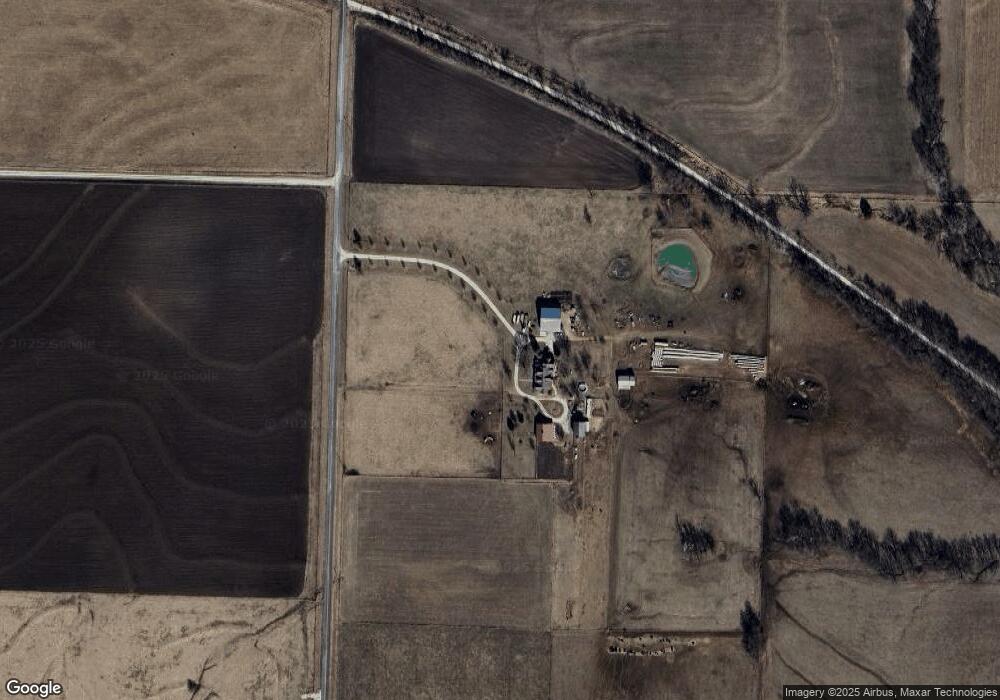
Map
Nearby Homes
- 206 N Ohio St
- 720 SW 800th Rd
- 1106 SW County Road Kk N A
- 1059 SW 1301st Rd
- 1061 SW County Road B
- 924 NW 501 Rd
- 0 Lot 5 Tbd 500 Rd
- 0 Lot 2 Tbd 500 Rd
- 0 Lot 1 Tbd 500 Rd
- 0 Rd
- 6830 NW N Hwy
- TBD SW 500th Rd
- 0 NW 401 Rd
- 169 SW 800th Rd
- 457 State Route F
- 1044 SW 101st Rd
- 800 NW 950th Rd
- 1155 Missouri 58
- 1104 Eagle Crest Dr
- 908 Golden Eagle Trail
- 1056 SW County Road O
- 1061 SW County Road O Hwy
- 861 SW State Route 2
- 1060 SW County Road O
- 1060 SW O Hwy
- 882 SW 925th Rd
- 913 Missouri 2
- 965 SW State Route 2
- 1095 SW County Road O
- 887 SW State Route 2
- 953 SW State Route 2
- 1040 SW 801st Rd
- 863 SW State Route 2
- 990 SW 971st Rd
- 810 SW 925th Rd
- 972 SW 971st Rd
Your Personal Tour Guide
Ask me questions while you tour the home.