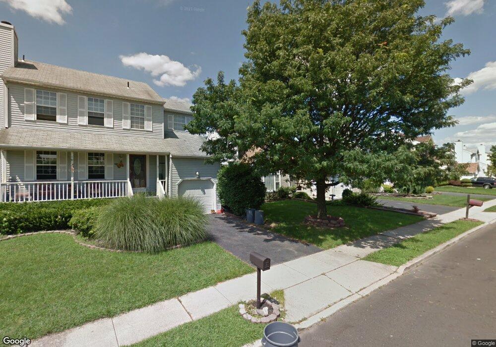
1013 Village Dr Croydon, PA 19021
Estimated Value: $360,000 - $422,000
4
Beds
3
Baths
1,559
Sq Ft
$257/Sq Ft
Est. Value
About This Home
This home is located at 1013 Village Dr, Croydon, PA 19021 and is currently estimated at $400,973, approximately $257 per square foot. 1013 Village Dr is a home located in Bucks County with nearby schools including Truman Senior High School, School Lane Charter School, and St. Mark Elementary School.
Ownership History
Date
Name
Owned For
Owner Type
Purchase Details
Closed on
May 30, 2003
Sold by
Galdi Joseph D
Bought by
Gutierrez Maria Eugenia
Current Estimated Value
Home Financials for this Owner
Home Financials are based on the most recent Mortgage that was taken out on this home.
Original Mortgage
$165,000
Outstanding Balance
$71,911
Interest Rate
5.71%
Mortgage Type
Purchase Money Mortgage
Estimated Equity
$329,062
Purchase Details
Closed on
Jan 29, 1998
Sold by
Tuthill John W and Tuthill Michelle A
Bought by
Galdi Joseph D
Home Financials for this Owner
Home Financials are based on the most recent Mortgage that was taken out on this home.
Original Mortgage
$100,400
Interest Rate
6.95%
Create a Home Valuation Report for This Property
The Home Valuation Report is an in-depth analysis detailing your home's value as well as a comparison with similar homes in the area
Home Values in the Area
Average Home Value in this Area
Purchase History
| Date | Buyer | Sale Price | Title Company |
|---|---|---|---|
| Gutierrez Maria Eugenia | $183,500 | -- | |
| Galdi Joseph D | $125,500 | -- |
Source: Public Records
Mortgage History
| Date | Status | Borrower | Loan Amount |
|---|---|---|---|
| Open | Gutierrez Maria Eugenia | $165,000 | |
| Previous Owner | Galdi Joseph D | $100,400 |
Source: Public Records
Tax History Compared to Growth
Tax History
| Year | Tax Paid | Tax Assessment Tax Assessment Total Assessment is a certain percentage of the fair market value that is determined by local assessors to be the total taxable value of land and additions on the property. | Land | Improvement |
|---|---|---|---|---|
| 2025 | $5,768 | $21,240 | $3,040 | $18,200 |
| 2024 | $5,768 | $21,240 | $3,040 | $18,200 |
| 2023 | $5,726 | $21,240 | $3,040 | $18,200 |
| 2022 | $5,726 | $21,240 | $3,040 | $18,200 |
| 2021 | $5,726 | $21,240 | $3,040 | $18,200 |
| 2020 | $5,726 | $21,240 | $3,040 | $18,200 |
| 2019 | $5,704 | $21,240 | $3,040 | $18,200 |
| 2018 | $5,613 | $21,240 | $3,040 | $18,200 |
| 2017 | $5,527 | $21,240 | $3,040 | $18,200 |
| 2016 | $5,527 | $21,240 | $3,040 | $18,200 |
| 2015 | $4,013 | $21,240 | $3,040 | $18,200 |
| 2014 | $4,013 | $21,240 | $3,040 | $18,200 |
Source: Public Records
Map
Nearby Homes
- 1012 Franklin Ave
- 1050 Village Dr
- 1 McLevins Ct
- 2133 Maple Ave
- 1719 Dixon Ave
- 2057 High St
- 2057 Garfield Ave
- 2320 Dixon Ave
- 2349 Dixon Ave
- 200 Janet Ave
- 1020 Hilary Ave
- 2915 Lawnton Ave
- 3001 Penn Valley Ave
- 0 Newportville Rd Unit PABU487252
- 3303 Glenrose Ave
- L:15 Dunston Rd
- 906 Stephen Ave
- 801 Cliff Rd
- 4744 Dunston Rd
- 807 Arthur Ave
- 1017 Village Dr
- 1009 Village Dr
- 1021 Village Dr
- 1918 Colonial Dr
- 1934 Colonial Dr
- 1006 Village Dr
- 1938 Colonial Dr
- 1025 Village Dr
- 1914 Colonial Dr
- 1929 Colonial Dr
- 1933 Colonial Dr
- 1010 Village Dr
- 1925 Colonial Dr
- 1937 Colonial Dr
- 1029 Village Dr
- 1921 Colonial Dr
- 1941 Colonial Dr
- 1014 Village Dr
- 1946 Colonial Dr
- 1910 Colonial Dr