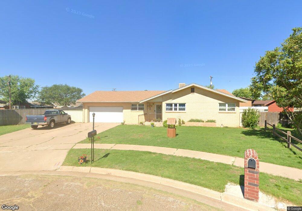
1013 W Christopher Dr Clovis, NM 88101
Estimated Value: $135,375 - $192,000
Studio
--
Bath
--
Sq Ft
12,371
Sq Ft Lot
About This Home
This home is located at 1013 W Christopher Dr, Clovis, NM 88101 and is currently estimated at $160,594. 1013 W Christopher Dr is a home with nearby schools including Sandia Elementary School, Marshall Middle School, and Clovis High School.
Ownership History
Date
Name
Owned For
Owner Type
Purchase Details
Closed on
Sep 22, 2014
Sold by
Samuel Duncan and Samuel Carolyn
Bought by
Turvaville Dezra
Current Estimated Value
Home Financials for this Owner
Home Financials are based on the most recent Mortgage that was taken out on this home.
Original Mortgage
$92,241
Outstanding Balance
$67,082
Interest Rate
3%
Mortgage Type
New Conventional
Estimated Equity
$93,512
Create a Home Valuation Report for This Property
The Home Valuation Report is an in-depth analysis detailing your home's value as well as a comparison with similar homes in the area
Purchase History
| Date | Buyer | Sale Price | Title Company |
|---|---|---|---|
| Turvaville Dezra | $115,301 | -- |
Source: Public Records
Mortgage History
| Date | Status | Borrower | Loan Amount |
|---|---|---|---|
| Open | Turvaville Dezra | $92,241 |
Source: Public Records
Tax History
| Year | Tax Paid | Tax Assessment Tax Assessment Total Assessment is a certain percentage of the fair market value that is determined by local assessors to be the total taxable value of land and additions on the property. | Land | Improvement |
|---|---|---|---|---|
| 2025 | $909 | $35,968 | $4,083 | $31,885 |
| 2024 | $909 | $34,922 | $3,965 | $30,957 |
| 2023 | $875 | $33,906 | $3,850 | $30,056 |
| 2022 | $830 | $32,919 | $3,738 | $29,181 |
| 2021 | $752 | $31,962 | $3,630 | $28,332 |
| 2020 | $735 | $31,032 | $3,525 | $27,507 |
| 2019 | $712 | $30,129 | $3,423 | $26,706 |
| 2018 | $687 | $29,253 | $3,324 | $25,929 |
| 2017 | $666 | $29,805 | $3,228 | $26,577 |
| 2016 | $666 | $28,937 | $3,134 | $25,803 |
| 2015 | $641 | $28,095 | $3,043 | $25,052 |
| 2014 | $482 | $27,278 | $2,955 | $24,323 |
Source: Public Records
Map
Nearby Homes
- 2301 Duckworth Ave
- 1004 Kathie Dr
- 209 Starlite Dr
- 1201 W Yucca Ave
- 2604 Duckworth Ave
- 305 Starlite Dr
- 804 Kathie Dr
- 213 Manson Dr
- 801 W Yucca Ave
- 1216 Sandia Dr
- 2037 N Hull St
- 437 Sandy Ln
- 832 W Manana Blvd
- 701 Sandia Dr
- 2301 Echols Ave
- 305 Primrose Point St
- 216 Rosa Blvd
- 1648 W 60 84 Hwy
- 609 Starlite Dr
- 112 Merrill Dr
- 1009 W Christopher Dr
- 1012 W Christopher Dr
- 2317 Williams Ave
- 2401 Williams Ave
- 1008 W Christopher Dr
- 2309 Williams Ave
- 1005 W Christopher Dr
- 2409 Williams Ave
- 112 Sunland Dr
- 108 Sunland Dr
- 116 Sunland Dr
- 1004 W Christopher Dr
- 104 Sunland Dr
- 2417 Williams Ave
- 1017 W Yucca Ave
- 2301 Williams Ave
- 2320 Duckworth Ave
- 1013 W Yucca Ave
- 1021 W Yucca Ave
- 2400 Williams Ave
Your Personal Tour Guide
Ask me questions while you tour the home.