10130 Airport Blvd Mobile, AL 36608
Pierce Creek Neighborhood
--
Bed
1
Bath
2,025
Sq Ft
1.34
Acres
About This Home
This home is located at 10130 Airport Blvd, Mobile, AL 36608. 10130 Airport Blvd is a home located in Mobile County with nearby schools including Taylor White Elementary School, Bernice J Causey Middle School, and Baker High School.
Ownership History
Date
Name
Owned For
Owner Type
Purchase Details
Closed on
Apr 5, 2012
Sold by
Venetia Tjh Investments Llc
Bought by
Mnb Investments Llc
Purchase Details
Closed on
Dec 1, 2011
Sold by
Malone Carlton and Malone Lesia
Bought by
Venetia Tjh Investmnts Llc
Purchase Details
Closed on
Feb 3, 2006
Sold by
Sgorlon William
Bought by
Malone Carlton and Malone Lesia
Home Financials for this Owner
Home Financials are based on the most recent Mortgage that was taken out on this home.
Original Mortgage
$96,000
Interest Rate
6.21%
Mortgage Type
Seller Take Back
Create a Home Valuation Report for This Property
The Home Valuation Report is an in-depth analysis detailing your home's value as well as a comparison with similar homes in the area
Home Values in the Area
Average Home Value in this Area
Purchase History
| Date | Buyer | Sale Price | Title Company |
|---|---|---|---|
| Mnb Investments Llc | -- | None Available | |
| Venetia Tjh Investmnts Llc | $157,040 | None Available | |
| Malone Carlton | $120,000 | None Available |
Source: Public Records
Mortgage History
| Date | Status | Borrower | Loan Amount |
|---|---|---|---|
| Previous Owner | Malone Carlton | $96,000 |
Source: Public Records
Tax History Compared to Growth
Tax History
| Year | Tax Paid | Tax Assessment Tax Assessment Total Assessment is a certain percentage of the fair market value that is determined by local assessors to be the total taxable value of land and additions on the property. | Land | Improvement |
|---|---|---|---|---|
| 2024 | $4,440 | $91,220 | $29,120 | $62,100 |
| 2023 | $4,494 | $73,740 | $29,120 | $44,620 |
| 2022 | $2,473 | $50,980 | $5,580 | $45,400 |
| 2021 | $2,885 | $59,480 | $26,220 | $33,260 |
| 2020 | $2,916 | $60,120 | $26,220 | $33,900 |
| 2019 | $2,602 | $53,640 | $26,220 | $27,420 |
| 2018 | $2,629 | $54,200 | $0 | $0 |
| 2017 | $3,038 | $61,200 | $0 | $0 |
| 2016 | $2,984 | $61,520 | $0 | $0 |
| 2013 | $2,882 | $58,420 | $0 | $0 |
Source: Public Records
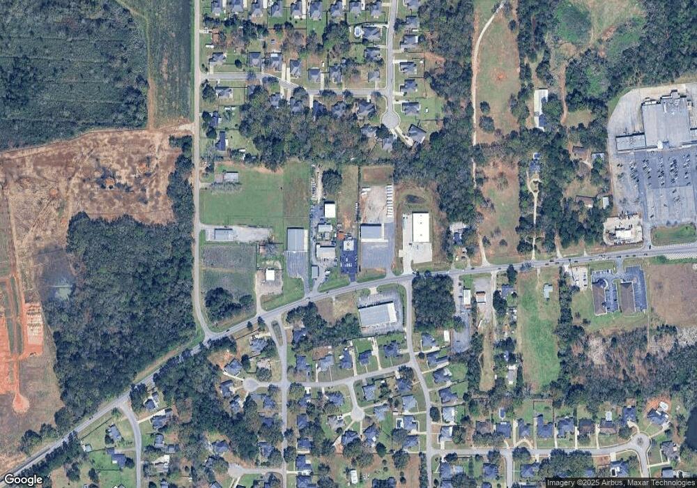
Map
Nearby Homes
- 10173 Hunters Trace
- 1040 Wakefield Dr W
- 1031 Seven Hills Dr
- 10372 Heirloom Rd S
- 10386 Heirloom Rd S
- 10398 Heirloom Rd S
- 10426 Heirloom Rd S
- 10435 Heirloom Rd S
- 11900 Airport Blvd
- 10440 Heirloom Rd S
- 1138 Provision Rd
- 10153 Tarawood Ct
- 1168 Provision Rd
- 0 Lifeline Ct Unit 7621162
- The Hawthorne Plan at Heritage Lake
- The Camden Plan at Heritage Lake
- The Kaden Plan at Heritage Lake
- The Destin Plan at Heritage Lake
- The Emily Plan at Heritage Lake
- The Lamar Plan at Heritage Lake
- 10120 Airport Blvd
- 10121 Airport Blvd
- 10121 Airport Blvd Unit 6
- 10121 Airport Blvd
- 10121 Airport Blvd Unit 3
- 10121 Airport Blvd Unit 2
- 10121 Airport Blvd Unit 1
- 999 Wakefield Dr W
- 10140 Wakefield Dr N
- 870 Hunters Ln
- 858 Hunter Ln
- 10150 Wakefield Dr N
- 10070 Airport Blvd
- 10130 Wakefield Dr N
- 10170 Wakefield Dr N
- 1005 Wakefield Dr E
- 1031 Wakefield Dr W
- 857 Hunters Ln
- 857 Hunters Ln
- 10159 Hunters Trace