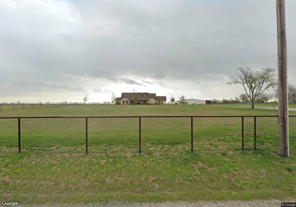
10130 Forester Rd Sanger, TX 76266
Estimated Value: $817,000
4
Beds
4
Baths
3,181
Sq Ft
$257/Sq Ft
Est. Value
About This Home
This home is located at 10130 Forester Rd, Sanger, TX 76266 and is currently estimated at $817,000, approximately $256 per square foot. 10130 Forester Rd is a home located in Denton County with nearby schools including Chisholm Trail Elementary School, Clear Creek Intermediate School, and Sanger Sixth Grade Campus.
Ownership History
Date
Name
Owned For
Owner Type
Purchase Details
Closed on
Sep 8, 2017
Sold by
White Leland R
Bought by
Corbin Chad E and Corbin Rachel L
Current Estimated Value
Home Financials for this Owner
Home Financials are based on the most recent Mortgage that was taken out on this home.
Original Mortgage
$2,407,086
Outstanding Balance
$2,011,167
Interest Rate
3.92%
Mortgage Type
Commercial
Estimated Equity
-$1,194,167
Purchase Details
Closed on
Jun 14, 2006
Sold by
Keller Danny
Bought by
Corbin Chad and Corbin Rachel
Home Financials for this Owner
Home Financials are based on the most recent Mortgage that was taken out on this home.
Original Mortgage
$97,272
Interest Rate
6.56%
Mortgage Type
Purchase Money Mortgage
Create a Home Valuation Report for This Property
The Home Valuation Report is an in-depth analysis detailing your home's value as well as a comparison with similar homes in the area
Home Values in the Area
Average Home Value in this Area
Purchase History
| Date | Buyer | Sale Price | Title Company |
|---|---|---|---|
| Corbin Chad E | -- | Lawyers Title | |
| Corbin Chad | -- | None Available |
Source: Public Records
Mortgage History
| Date | Status | Borrower | Loan Amount |
|---|---|---|---|
| Open | Corbin Chad E | $2,407,086 | |
| Previous Owner | Corbin Chad | $97,272 |
Source: Public Records
Tax History
| Year | Tax Paid | Tax Assessment Tax Assessment Total Assessment is a certain percentage of the fair market value that is determined by local assessors to be the total taxable value of land and additions on the property. | Land | Improvement |
|---|---|---|---|---|
| 2025 | $4,606 | $339,362 | $339,362 | -- |
| 2024 | $4,606 | $339,362 | $339,362 | $0 |
| 2023 | $4,632 | $339,362 | $339,362 | $0 |
| 2022 | $3,489 | $210,361 | $210,361 | $0 |
| 2021 | $8 | $563 | $563 | $0 |
| 2020 | $9 | $590 | $590 | $0 |
| 2019 | $5,960 | $364,132 | $8,948 | $355,184 |
| 2018 | $5,841 | $354,223 | $9,039 | $345,184 |
| 2017 | $5,792 | $354,223 | $9,039 | $345,184 |
| 2016 | $5,380 | $334,404 | $9,220 | $325,184 |
| 2015 | $4,247 | $334,494 | $9,310 | $325,184 |
| 2013 | -- | $264,132 | $8,948 | $255,184 |
Source: Public Records
Map
Nearby Homes
- 10455 Fm 455 W
- 10350 W Clear Creek Rd
- 10902 Clear Creek Rd W
- 9494 Waide Rd
- 11007 Farm To Market Road 2450
- 13257 W Fm 455
- 12142 Fm 2450
- 9725 Atcheson Rd
- 4120 Olivia Ln
- 4118 Olivia Ln
- 4110 Olivia Ln
- 000 Fm 2450
- 6810 Hunnington Dr
- 12880 Pruett Rd
- 12890 Pruett Rd
- 12890 Pruett Rd Unit Lot 5
- 16384 Farm To Market Road 1173
- 12480 Doyle Rd
- 7019 Paintbrush Ln
- 7007 Butterfield Dr
- 10035 Forester Rd
- 10314 Fm 455 W
- 17336 Forester Rd
- 10300 Fm 455 W
- 10300 Farm To Market 455 W
- 10543 Fm 455 W
- 10571 Fm 455 W
- 10200 Fm 455 W
- 10713 Fm 455 W
- 10614 Forester Rd
- 10001 Fm W 455 Rd
- TBD Forester Rd
- 10455 Fm 455 W Unit LAND
- 10901 Fm 455 W
- 11129 Fm 455 W
- 10133 Dyer Rd
- 10164 Dyer Rd
- 10340 Dyer Rd
- TBD Dyer Rd
- 10240 Freeman Rd
Your Personal Tour Guide
Ask me questions while you tour the home.