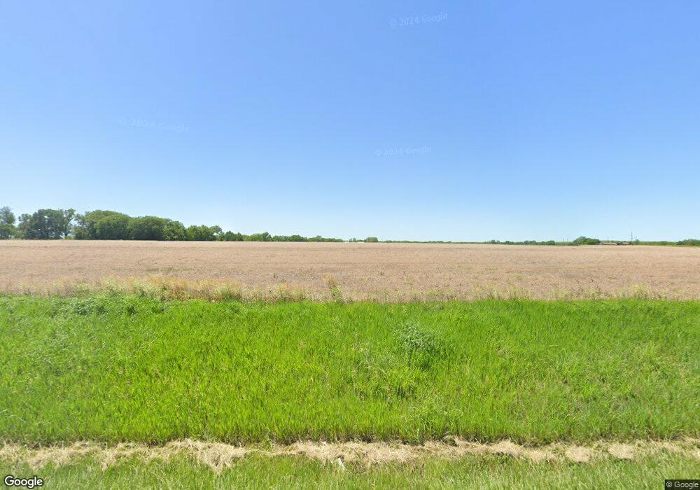
10131 Stallion Rd Topeka, KS 66615
Estimated Value: $398,581 - $475,000
3
Beds
2
Baths
1,664
Sq Ft
$262/Sq Ft
Est. Value
About This Home
This home is located at 10131 Stallion Rd, Topeka, KS 66615 and is currently estimated at $436,527, approximately $262 per square foot. 10131 Stallion Rd is a home with nearby schools including Wabaunsee Senior High School.
Ownership History
Date
Name
Owned For
Owner Type
Purchase Details
Closed on
Apr 17, 2023
Sold by
Vandevord Nathan W and Vandevord Audra A
Bought by
Wood Kelsi and Gillum Malcolm
Current Estimated Value
Home Financials for this Owner
Home Financials are based on the most recent Mortgage that was taken out on this home.
Original Mortgage
$262,550
Outstanding Balance
$256,376
Interest Rate
7.5%
Mortgage Type
Construction
Estimated Equity
$180,151
Purchase Details
Closed on
Apr 13, 2015
Sold by
Bond Shelley L
Bought by
Vandevord Nathan W and Vandevord Audra A
Create a Home Valuation Report for This Property
The Home Valuation Report is an in-depth analysis detailing your home's value as well as a comparison with similar homes in the area
Home Values in the Area
Average Home Value in this Area
Purchase History
| Date | Buyer | Sale Price | Title Company |
|---|---|---|---|
| Wood Kelsi | $328,187 | -- | |
| Vandevord Nathan W | -- | Wabaunsee Cnty Title |
Source: Public Records
Mortgage History
| Date | Status | Borrower | Loan Amount |
|---|---|---|---|
| Open | Wood Kelsi | $262,550 |
Source: Public Records
Tax History Compared to Growth
Tax History
| Year | Tax Paid | Tax Assessment Tax Assessment Total Assessment is a certain percentage of the fair market value that is determined by local assessors to be the total taxable value of land and additions on the property. | Land | Improvement |
|---|---|---|---|---|
| 2025 | $4,430 | $35,960 | $3,443 | $32,517 |
| 2024 | -- | $33,925 | $3,133 | $30,792 |
| 2023 | -- | $30,951 | $2,824 | $28,127 |
| 2022 | -- | $28,322 | $2,493 | $25,829 |
| 2021 | -- | $26,621 | $2,185 | $24,436 |
| 2020 | $3,203 | $25,817 | $1,812 | $24,005 |
| 2019 | -- | -- | $1,812 | $23,750 |
| 2018 | -- | -- | $1,812 | $23,248 |
| 2017 | -- | -- | $1,426 | $22,933 |
| 2016 | -- | -- | $1,219 | $3,955 |
| 2015 | -- | -- | $2,992 | $6,207 |
| 2014 | -- | -- | $2,711 | $6,095 |
Source: Public Records
Map
Nearby Homes
- XXX NW Douglas Rd
- Lot 2 NW Douglas Rd
- Lot 1 NW Douglas Rd
- Lot 2, Blk B SW 17th St
- Lot 3, Blk A SW Urish Rd
- 0 Glacier Rd Unit SUN241974
- 0 Glacier Rd Unit FHR20252898
- 215 & 219 Main St
- 302 Sunset Ln
- 0000 Vera Rd
- 26563 W 83rd Terrace
- 25299 Windy Hill Rd
- 0 SW 49th St Unit 24984487
- 0 SW 49th St Unit 24984495
- 00000 SW Hoch Rd
- SW Hoch Rd
- ooo SW Hays Rd
- 8435 Pickering St
- SW Hoch Rd
- 308 Beaubein St
- 10288 Stallion Rd
- 1109 SW Carlson Rd
- 1051 SW Carlson Rd
- 1111 SW Carlson Rd
- 1001 SW Carlson Rd
- 10460 Stallion Rd
- 905 SW Carlson Rd
- 10636 Stallion Rd
- 1700 SW Carlson Rd
- 830 SW Carlson Rd
- 13621 SW 13th St
- 1828 SW Carlson Rd
- 1920 SW Carlson Rd
- 1928 SW Carlson Rd
- 1979 SW Carlson Rd
- 13448 SW 13th St
- 13430 SW 13th St
- 13426 SW 13th St
- 619 SW Carlson Rd
