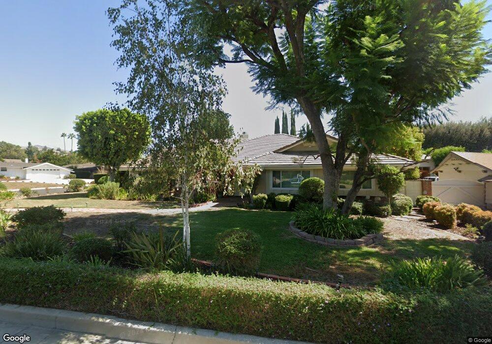
10132 Hadley Ave Northridge, CA 91324
Estimated Value: $1,438,000 - $2,082,000
4
Beds
3
Baths
3,358
Sq Ft
$502/Sq Ft
Est. Value
About This Home
This home is located at 10132 Hadley Ave, Northridge, CA 91324 and is currently estimated at $1,686,355, approximately $502 per square foot. 10132 Hadley Ave is a home located in Los Angeles County with nearby schools including Topeka Charter School For Advanced Studies, Our Community School, and Beckford Charter for Enriched Studies.
Ownership History
Date
Name
Owned For
Owner Type
Purchase Details
Closed on
Aug 21, 2008
Sold by
Cox Pat and Gene & Pat Cox Family Trust
Bought by
Cox Pat and Pat Cox Survivors Trust
Current Estimated Value
Purchase Details
Closed on
Mar 21, 2006
Sold by
Wehr Curtis and Wehr Laurie
Bought by
Cox Gene and Cox Pat
Purchase Details
Closed on
Jan 23, 1998
Sold by
Emerson Dennis and Emerson Terri
Bought by
Wehr Curtis J and Wehr Laurie
Home Financials for this Owner
Home Financials are based on the most recent Mortgage that was taken out on this home.
Original Mortgage
$326,000
Interest Rate
7.02%
Create a Home Valuation Report for This Property
The Home Valuation Report is an in-depth analysis detailing your home's value as well as a comparison with similar homes in the area
Home Values in the Area
Average Home Value in this Area
Purchase History
| Date | Buyer | Sale Price | Title Company |
|---|---|---|---|
| Cox Pat | -- | None Available | |
| Cox Gene | $1,250,000 | Fidelity National Title | |
| Wehr Curtis J | $616,000 | First American Title Co |
Source: Public Records
Mortgage History
| Date | Status | Borrower | Loan Amount |
|---|---|---|---|
| Previous Owner | Wehr Curtis J | $326,000 |
Source: Public Records
Tax History Compared to Growth
Tax History
| Year | Tax Paid | Tax Assessment Tax Assessment Total Assessment is a certain percentage of the fair market value that is determined by local assessors to be the total taxable value of land and additions on the property. | Land | Improvement |
|---|---|---|---|---|
| 2025 | $5,551 | $419,517 | $290,049 | $129,468 |
| 2024 | $5,551 | $411,292 | $284,362 | $126,930 |
| 2023 | $5,453 | $403,229 | $278,787 | $124,442 |
| 2022 | $5,219 | $395,323 | $273,321 | $122,002 |
| 2021 | $5,140 | $387,572 | $267,962 | $119,610 |
| 2019 | $4,997 | $376,078 | $260,015 | $116,063 |
| 2018 | $4,794 | $368,705 | $254,917 | $113,788 |
| 2016 | $4,554 | $354,389 | $245,019 | $109,370 |
| 2015 | $4,491 | $349,067 | $241,339 | $107,728 |
| 2014 | $4,514 | $342,230 | $236,612 | $105,618 |
Source: Public Records
Map
Nearby Homes
- 19530 Tuba St
- 10225 Donna Ave
- 9819 Vanalden Ave
- 19621 Citronia St
- 19520 Bermuda St
- 18753 Mayall St
- 9830 Oakdale Ave
- 19354 Halsted St
- 19933 Hiawatha St
- 19523 Ballinger St
- 19941 Hiawatha St
- 19200 Ballinger St
- 20023 Tipico St
- 10405 Lubao Ave
- 10801 Bothwell Rd
- 20027 Hiawatha St
- 9733 Kessler Ave
- 20115 Romar St
- 10116 Viking Ave
- 20124 Lassen St
- 10122 Hadley Ave
- 10141 Calvin Ave
- 19345 Romar St
- 10127 Calvin Ave
- 19400 Romar St
- 19401 Romar St
- 10112 Hadley Ave
- 19331 Romar St
- 10115 Hadley Ave
- 10113 Calvin Ave
- 19415 Romar St
- 19420 Romar St
- 19344 Lemarsh St
- 19324 Romar St
- 19400 Lemarsh St
- 10100 Hadley Ave
- 19330 Lemarsh St
- 10101 Hadley Ave
- 19321 Romar Place
- 10101 Calvin Ave