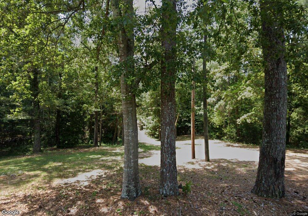
1014 Bayou Pierre St Wesson, MS 39191
Estimated Value: $199,000 - $260,000
3
Beds
3
Baths
2,339
Sq Ft
$101/Sq Ft
Est. Value
About This Home
This home is located at 1014 Bayou Pierre St, Wesson, MS 39191 and is currently estimated at $236,221, approximately $100 per square foot. 1014 Bayou Pierre St is a home located in Copiah County.
Ownership History
Date
Name
Owned For
Owner Type
Purchase Details
Closed on
Sep 12, 2014
Sold by
Malvin Keith Malvin Keith and Hart Susan Desiree
Bought by
Robinson James Clifford and Robinson Anna
Current Estimated Value
Home Financials for this Owner
Home Financials are based on the most recent Mortgage that was taken out on this home.
Original Mortgage
$195,000
Outstanding Balance
$149,020
Interest Rate
4.17%
Mortgage Type
VA
Estimated Equity
$87,201
Create a Home Valuation Report for This Property
The Home Valuation Report is an in-depth analysis detailing your home's value as well as a comparison with similar homes in the area
Purchase History
| Date | Buyer | Sale Price | Title Company |
|---|---|---|---|
| Robinson James Clifford | $180,000 | -- |
Source: Public Records
Mortgage History
| Date | Status | Borrower | Loan Amount |
|---|---|---|---|
| Open | Robinson James Clifford | $195,000 |
Source: Public Records
Tax History Compared to Growth
Tax History
| Year | Tax Paid | Tax Assessment Tax Assessment Total Assessment is a certain percentage of the fair market value that is determined by local assessors to be the total taxable value of land and additions on the property. | Land | Improvement |
|---|---|---|---|---|
| 2025 | $1,861 | $17,246 | $0 | $0 |
| 2024 | $19 | $15,108 | $0 | $0 |
| 2023 | $1,882 | $15,108 | $0 | $0 |
| 2022 | $1,888 | $15,019 | $0 | $0 |
| 2021 | $1,836 | $15,019 | $0 | $0 |
| 2020 | $1,800 | $14,535 | $0 | $0 |
| 2019 | $1,823 | $14,535 | $0 | $0 |
| 2018 | $1,241 | $14,052 | $0 | $0 |
| 2017 | $1,196 | $14,052 | $0 | $0 |
| 2016 | $1,196 | $13,926 | $0 | $0 |
| 2015 | -- | $13,326 | $0 | $0 |
| 2014 | -- | $13,326 | $0 | $0 |
Source: Public Records
Map
Nearby Homes
- 1025 West St
- 1079 Beech St
- 1043 Cotton St
- 0 00 Milltowne Dr
- 1119 Milltowne Dr
- 0 David Britt St
- 0 Milltownte Dr
- 2548 Furrs Mill Dr NE
- 1005 Tarver Ln
- 1015 Tarver Ln
- 4001 Stegall Rd
- 0 Anderson Rd
- 0 Linwood Ln NE
- 2769 Beard Rd NE
- 0 Old Hwy 51 NE
- 4069 Dixie Rd
- 4069 Dixie Garden Rd
- Lot 5 Bahalia Rd NE
- 2435 Brignall Rd NE
- 1560 Bens Trail NE
- 1014 Bayou Pierre St
- 1173 Highway 51
- 1169 Highway 51
- 1001 Robinson St
- n/a Bayou Pierre St
- 1183 U S 51
- 1185 Highway 51
- 1181 U S 51
- 1015 Robinson St
- 1005 Bent Oak Cove
- 1010 Bayou Pierre St
- 1001 Bent Oak Cove
- 1193 Highway 51
- 1159 Highway 51
- 1016 Bayou Pierre St
- 1006 West St
- 1009 Bent Oak Cove
- 1151 Highway 51
- 1174 U S 51
- 1174 Highway 51
