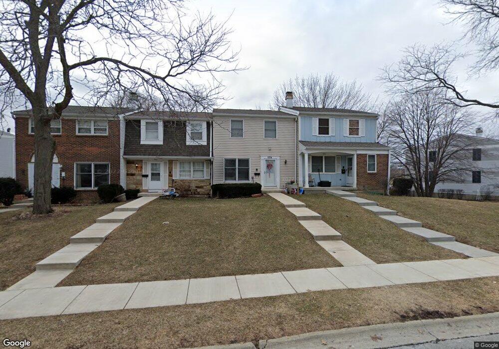
1014 Denham Place Unit 1 Schaumburg, IL 60194
West Schaumburg NeighborhoodEstimated Value: $286,000 - $303,000
4
Beds
2
Baths
1,350
Sq Ft
$218/Sq Ft
Est. Value
About This Home
This home is located at 1014 Denham Place Unit 1, Schaumburg, IL 60194 and is currently estimated at $293,981, approximately $217 per square foot. 1014 Denham Place Unit 1 is a home located in Cook County with nearby schools including Neil Armstrong Elementary School, Dwight D Eisenhower Junior High School, and Hoffman Estates High School.
Ownership History
Date
Name
Owned For
Owner Type
Purchase Details
Closed on
Nov 8, 2004
Sold by
Leifel John V
Bought by
Solorzano Victor
Current Estimated Value
Home Financials for this Owner
Home Financials are based on the most recent Mortgage that was taken out on this home.
Original Mortgage
$145,600
Interest Rate
7.49%
Mortgage Type
Unknown
Create a Home Valuation Report for This Property
The Home Valuation Report is an in-depth analysis detailing your home's value as well as a comparison with similar homes in the area
Home Values in the Area
Average Home Value in this Area
Purchase History
| Date | Buyer | Sale Price | Title Company |
|---|---|---|---|
| Solorzano Victor | $182,000 | Pntn |
Source: Public Records
Mortgage History
| Date | Status | Borrower | Loan Amount |
|---|---|---|---|
| Previous Owner | Solorzano Victor | $145,600 | |
| Closed | Solorzano Victor | $36,400 |
Source: Public Records
Tax History Compared to Growth
Tax History
| Year | Tax Paid | Tax Assessment Tax Assessment Total Assessment is a certain percentage of the fair market value that is determined by local assessors to be the total taxable value of land and additions on the property. | Land | Improvement |
|---|---|---|---|---|
| 2024 | $4,379 | $19,000 | $3,000 | $16,000 |
| 2023 | $4,210 | $19,000 | $3,000 | $16,000 |
| 2022 | $4,210 | $19,000 | $3,000 | $16,000 |
| 2021 | $3,286 | $14,197 | $2,835 | $11,362 |
| 2020 | $3,302 | $14,197 | $2,835 | $11,362 |
| 2019 | $3,303 | $15,775 | $2,835 | $12,940 |
| 2018 | $3,872 | $16,352 | $2,475 | $13,877 |
| 2017 | $3,828 | $16,352 | $2,475 | $13,877 |
| 2016 | $3,819 | $16,352 | $2,475 | $13,877 |
| 2015 | $3,214 | $13,392 | $2,160 | $11,232 |
| 2014 | $3,193 | $13,392 | $2,160 | $11,232 |
| 2013 | $3,094 | $13,392 | $2,160 | $11,232 |
Source: Public Records
Map
Nearby Homes
- 1020 Denham Place Unit 1
- 1912 Finchley Ct Unit 3
- 1103 Southbridge Ln
- 1121 Southbridge Ln
- 808 Bishop Ct Unit 2
- 775 Harmon Blvd
- 1698 Pebble Beach Dr
- 1375 Rebecca Dr Unit 318
- 1901 Kingsley Dr
- 1475 Rebecca Dr Unit 217
- 1475 Crowfoot Cir S
- 700 N Hundley St
- 2216 Andover Ct
- 604 N Brookdale Dr
- 1415 N Oakmont Rd
- 2312 Hyde Ct
- 2201 Brittany Ct Unit 20
- 1685 Cornell Dr
- 1672 Cornell Dr
- 454 Willington Dr
- 1016 Denham Place
- 1010 Denham Place
- 1018 Denham Place Unit 1
- 1908 Cheltenham Place
- 1015 Denham Place Unit 1
- 1013 Denham Place Unit 1
- 1910 Cheltenham Place
- 1022 Denham Place Unit I
- 1017 Denham Place Unit 1
- 1005 Denham Place
- 1011 Denham Place Unit 1
- 1009 Denham Place
- 1007 Denham Place
- 1912 Cheltenham Place
- 1024 Denham Place
- 1914 Cheltenham Place
- 1906 Cheltenham Place
- 1916 Cheltenham Place
- 1918 Cheltenham Place