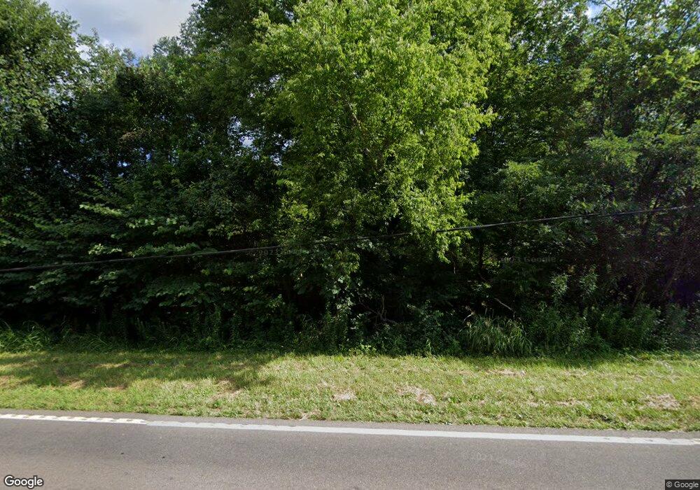
1014 E Highway 25 70 Dandridge, TN 37725
Estimated Value: $115,310 - $463,000
--
Bed
1
Bath
992
Sq Ft
$299/Sq Ft
Est. Value
About This Home
This home is located at 1014 E Highway 25 70, Dandridge, TN 37725 and is currently estimated at $296,328, approximately $298 per square foot. 1014 E Highway 25 70 is a home located in Jefferson County with nearby schools including Mountain View Academy For Young Men.
Ownership History
Date
Name
Owned For
Owner Type
Purchase Details
Closed on
Jun 3, 2010
Sold by
Branner Frances V
Bought by
Taylor Daniel E
Current Estimated Value
Purchase Details
Closed on
Jan 31, 2007
Bought by
Branner Frances V
Home Financials for this Owner
Home Financials are based on the most recent Mortgage that was taken out on this home.
Original Mortgage
$15,218
Interest Rate
6.08%
Purchase Details
Closed on
May 29, 1996
Sold by
Deborah Clemens
Bought by
Peggy Bretz
Purchase Details
Closed on
Aug 26, 1988
Bought by
Moody Deborah
Create a Home Valuation Report for This Property
The Home Valuation Report is an in-depth analysis detailing your home's value as well as a comparison with similar homes in the area
Home Values in the Area
Average Home Value in this Area
Purchase History
| Date | Buyer | Sale Price | Title Company |
|---|---|---|---|
| Taylor Daniel E | $20,000 | -- | |
| Branner Frances V | $13,300 | -- | |
| Peggy Bretz | $20,000 | -- | |
| Moody Deborah | -- | -- |
Source: Public Records
Mortgage History
| Date | Status | Borrower | Loan Amount |
|---|---|---|---|
| Previous Owner | Moody Deborah | $15,218 |
Source: Public Records
Tax History Compared to Growth
Tax History
| Year | Tax Paid | Tax Assessment Tax Assessment Total Assessment is a certain percentage of the fair market value that is determined by local assessors to be the total taxable value of land and additions on the property. | Land | Improvement |
|---|---|---|---|---|
| 2025 | $195 | $15,575 | $7,500 | $8,075 |
| 2023 | $195 | $8,475 | $0 | $0 |
| 2022 | $186 | $8,475 | $5,250 | $3,225 |
| 2021 | $186 | $8,475 | $5,250 | $3,225 |
| 2020 | $186 | $8,475 | $5,250 | $3,225 |
| 2019 | $186 | $8,475 | $5,250 | $3,225 |
| 2018 | $186 | $7,900 | $5,250 | $2,650 |
| 2017 | $186 | $7,900 | $5,250 | $2,650 |
| 2016 | $246 | $7,900 | $5,250 | $2,650 |
| 2015 | $246 | $10,475 | $5,250 | $5,225 |
| 2014 | $246 | $10,475 | $5,250 | $5,225 |
Source: Public Records
Map
Nearby Homes
- 410 Wine Rd
- 1835 Hammer Rd
- 150 Florence Cir
- 185 Florence Cir
- 687 Burchfield Rd
- 2008 Bessie Slaton Rd
- 727 Burchfield Rd
- 59/57/tr1 Spring Creek Rd
- 059/057.00 Spring Creek Rd
- TBD Burchfield Rd
- 1124 Carolina Dr
- 219 Sullivan Point
- Lot 30 Sullivan Pointe
- 1737 Oakdale Dr
- Lot 9 Stone Cove Way
- 412 George Washington Dr
- 0 Spring Creek Rd
- 1802 Hammer Rd
- 415 Wine Rd
- 421 Wine Rd
- Lot 10 R Wine Rd
- Par 40.01 Wine Rd
- 420 Wine Rd
- 1810 Hammer Rd
- 1000 E Highway 25 70
- 1771 Goddard Ln
- 996 E Highway 25 70
- 430 Wine Rd
- 992 E Highway 25 70
- 986 E Highway 25 70
- 1727 Corral Ln
- 1820 Hammer Rd
- 1759 Goddard Ln
- Lot 16- Mountain Vista Trail Rd
- 982 E Highway 25 70
- 1848 Hammer Rd
- 1723 Corral Ln
