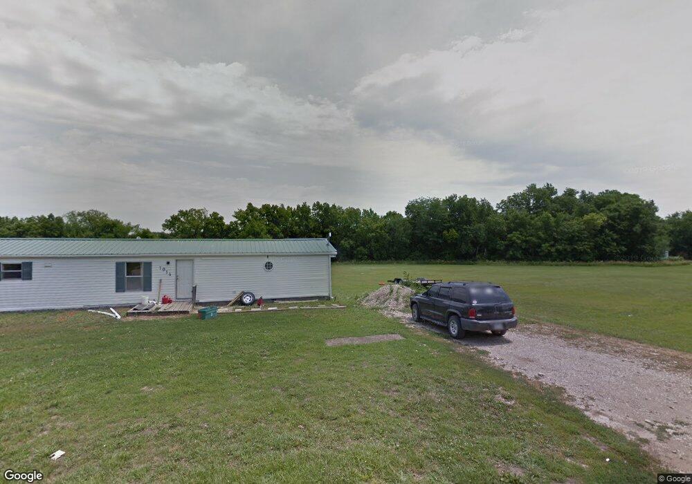
1014 Locust St Alta Vista, KS 66834
Estimated Value: $243,000 - $415,000
5
Beds
4
Baths
1,624
Sq Ft
$207/Sq Ft
Est. Value
About This Home
This home is located at 1014 Locust St, Alta Vista, KS 66834 and is currently estimated at $335,595, approximately $206 per square foot. 1014 Locust St is a home with nearby schools including Council Grove Junior/Senior High School.
Ownership History
Date
Name
Owned For
Owner Type
Purchase Details
Closed on
Sep 5, 2018
Sold by
Underwood William J and Underwood Lorie S
Bought by
Talley John T and Talley Patricia K
Current Estimated Value
Purchase Details
Closed on
Jul 1, 2007
Bought by
Underwood William J
Home Financials for this Owner
Home Financials are based on the most recent Mortgage that was taken out on this home.
Original Mortgage
$37,058
Interest Rate
6.67%
Mortgage Type
New Conventional
Create a Home Valuation Report for This Property
The Home Valuation Report is an in-depth analysis detailing your home's value as well as a comparison with similar homes in the area
Home Values in the Area
Average Home Value in this Area
Purchase History
| Date | Buyer | Sale Price | Title Company |
|---|---|---|---|
| Talley John T | -- | Wabaunsee Cnty Title | |
| Underwood William J | $55,000 | -- |
Source: Public Records
Mortgage History
| Date | Status | Borrower | Loan Amount |
|---|---|---|---|
| Previous Owner | Underwood William J | $37,058 |
Source: Public Records
Tax History Compared to Growth
Tax History
| Year | Tax Paid | Tax Assessment Tax Assessment Total Assessment is a certain percentage of the fair market value that is determined by local assessors to be the total taxable value of land and additions on the property. | Land | Improvement |
|---|---|---|---|---|
| 2025 | $5,089 | $32,207 | $3,091 | $29,116 |
| 2024 | -- | $30,384 | $2,813 | $27,571 |
| 2023 | -- | $29,788 | $3,069 | $26,719 |
| 2022 | -- | $28,643 | $2,037 | $26,606 |
| 2021 | -- | $28,359 | $2,037 | $26,322 |
| 2020 | -- | -- | $1,718 | $21,725 |
| 2019 | -- | -- | $880 | $0 |
| 2018 | -- | -- | $642 | $1,648 |
| 2017 | -- | -- | $527 | $1,776 |
| 2016 | -- | -- | $527 | $1,910 |
| 2015 | -- | -- | $527 | $1,981 |
| 2014 | -- | -- | $475 | $2,016 |
Source: Public Records
Map
Nearby Homes
- 301 Spencer St
- 448 S 700 Rd
- 0000 Glessner Hill Rd
- 1408 Quaker Rd
- 0000 Glessner Hill Rd
- 00000 S K-57 Hwy
- 00000 S Highway K-57
- 1000 J Ave
- 0 K Ave
- 625 K Ave
- 950 K Ave
- 0 H Ave
- 1873 Kansas 4
- 28720 Chalk Rd Unit LotWP001
- 1231 S 300 Rd Rd
- 1926 H Ave
- 112 Waterway Loop Unit B-26
- 140 Deepwater Loop Unit C-13
- 1465 S 975 Rd
- 653 S 2100 Rd