1014 Middlebrook Dr McDonough, GA 30252
Estimated Value: $402,973 - $469,000
4
Beds
3
Baths
2,850
Sq Ft
$157/Sq Ft
Est. Value
About This Home
This home is located at 1014 Middlebrook Dr, McDonough, GA 30252 and is currently estimated at $448,243, approximately $157 per square foot. 1014 Middlebrook Dr is a home located in Henry County with nearby schools including Rock Spring Elementary School, Ola Middle School, and Ola High School.
Ownership History
Date
Name
Owned For
Owner Type
Purchase Details
Closed on
Jun 22, 2005
Sold by
Floyd Michael C
Bought by
Orion Homes Inc
Current Estimated Value
Home Financials for this Owner
Home Financials are based on the most recent Mortgage that was taken out on this home.
Original Mortgage
$178,500
Interest Rate
5.66%
Purchase Details
Closed on
May 30, 2003
Sold by
Williams Joyce L
Bought by
Floyd Michael C
Home Financials for this Owner
Home Financials are based on the most recent Mortgage that was taken out on this home.
Original Mortgage
$26,000
Interest Rate
5.2%
Mortgage Type
New Conventional
Purchase Details
Closed on
Oct 2, 2000
Sold by
Durden Land & Prop Unltd Inc
Bought by
Williams Marvin and Williams Joyce L
Home Financials for this Owner
Home Financials are based on the most recent Mortgage that was taken out on this home.
Original Mortgage
$30,875
Interest Rate
7.96%
Create a Home Valuation Report for This Property
The Home Valuation Report is an in-depth analysis detailing your home's value as well as a comparison with similar homes in the area
Home Values in the Area
Average Home Value in this Area
Purchase History
| Date | Buyer | Sale Price | Title Company |
|---|---|---|---|
| Orion Homes Inc | $38,000 | -- | |
| Floyd Michael C | $32,500 | -- | |
| Williams Marvin | $32,500 | -- |
Source: Public Records
Mortgage History
| Date | Status | Borrower | Loan Amount |
|---|---|---|---|
| Closed | Orion Homes Inc | $178,500 | |
| Previous Owner | Floyd Michael C | $26,000 | |
| Previous Owner | Williams Marvin | $30,875 |
Source: Public Records
Tax History Compared to Growth
Tax History
| Year | Tax Paid | Tax Assessment Tax Assessment Total Assessment is a certain percentage of the fair market value that is determined by local assessors to be the total taxable value of land and additions on the property. | Land | Improvement |
|---|---|---|---|---|
| 2025 | $5,037 | $166,080 | $17,600 | $148,480 |
| 2024 | $5,037 | $177,400 | $17,600 | $159,800 |
| 2023 | $4,751 | $172,360 | $17,600 | $154,760 |
| 2022 | $4,286 | $131,280 | $17,600 | $113,680 |
| 2021 | $3,840 | $112,440 | $17,600 | $94,840 |
| 2020 | $3,502 | $98,120 | $16,280 | $81,840 |
| 2019 | $3,298 | $90,520 | $16,520 | $74,000 |
| 2018 | $3,083 | $84,920 | $12,960 | $71,960 |
| 2016 | $2,790 | $77,280 | $10,000 | $67,280 |
| 2015 | -- | $74,840 | $8,000 | $66,840 |
| 2014 | $2,330 | $63,160 | $8,000 | $55,160 |
Source: Public Records
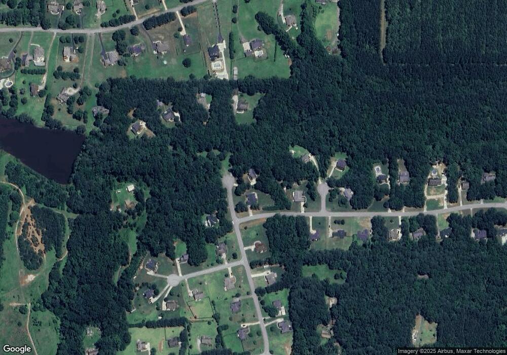
Map
Nearby Homes
- 1045 Matthews Way
- 1739 Snapping Shoals Rd
- 254 River Rd
- 253 River Rd
- 146 Mount Bethel Rd
- 101 Elite Way
- 185 Mount Bethel Rd
- 925 Wynn Rd
- 132 Fisher Mill Dr
- 205 Dupont Ct
- 132 Lynnview Ct
- 843 Honey Creek Rd
- 563 Wynn Rd
- 147 Nobility Ln
- 500 Butler Bridge Dr
- 108 Nobility Ln
- 112 Cambridge Woods Dr
- 680 Snapping Shoals Rd
- 208 Suffolk Way
- 40 Austin Dr
- 1201 Lullwater Way Unit 2
- 1203 Lullwater Way Unit 24
- 1203 Lullwater Way
- 1203 Lullwater Way Unit 2
- 1325 Brockton Place
- 1011 Middlebrook Dr
- 1008 Middlebrook Dr
- 1013 Middlebrook Dr
- 1016 Middlebrook Dr
- 1202 Lullwater Way Unit 5
- 1100 Haven Meadows Way Unit 2
- 1018 Middlebrook Dr Unit 2
- 1204 Lullwater Way Unit 2
- 1310 Brockton Place
- 1017 Middlebrook Dr
- 1004 Middlebrook Dr Unit 3
- 1004 Middlebrook Dr
- 1320 Brockton Place
- 1320 Brockton Place Unit 22
- 1110 Haven Meadows Way