1014 Richards Dr Linwood, NJ 08221
Estimated Value: $525,822 - $654,000
--
Bed
--
Bath
2,518
Sq Ft
$234/Sq Ft
Est. Value
About This Home
This home is located at 1014 Richards Dr, Linwood, NJ 08221 and is currently estimated at $589,206, approximately $233 per square foot. 1014 Richards Dr is a home located in Atlantic County with nearby schools including Seaview Elementary School, Belhaven Middle School, and Mainland Regional High School.
Ownership History
Date
Name
Owned For
Owner Type
Purchase Details
Closed on
Apr 15, 2005
Sold by
Kopitsky Cyndy and Kopitskny John
Bought by
Kent Stephen C and Ruzzo Kent Marci
Current Estimated Value
Home Financials for this Owner
Home Financials are based on the most recent Mortgage that was taken out on this home.
Original Mortgage
$232,400
Outstanding Balance
$119,928
Interest Rate
5.78%
Mortgage Type
New Conventional
Estimated Equity
$469,278
Purchase Details
Closed on
Jan 30, 1991
Sold by
Belz Frank and Belz Cyndy
Bought by
Belz Cyndy
Purchase Details
Closed on
Oct 19, 1988
Sold by
Busch Allen C and Busch Patricia B
Bought by
Belz Frank and Belz Syndy
Create a Home Valuation Report for This Property
The Home Valuation Report is an in-depth analysis detailing your home's value as well as a comparison with similar homes in the area
Home Values in the Area
Average Home Value in this Area
Purchase History
| Date | Buyer | Sale Price | Title Company |
|---|---|---|---|
| Kent Stephen C | $290,500 | -- | |
| Belz Cyndy | -- | -- | |
| Belz Frank | $150,000 | -- |
Source: Public Records
Mortgage History
| Date | Status | Borrower | Loan Amount |
|---|---|---|---|
| Open | Kent Stephen C | $232,400 |
Source: Public Records
Tax History Compared to Growth
Tax History
| Year | Tax Paid | Tax Assessment Tax Assessment Total Assessment is a certain percentage of the fair market value that is determined by local assessors to be the total taxable value of land and additions on the property. | Land | Improvement |
|---|---|---|---|---|
| 2025 | $10,529 | $276,000 | $110,000 | $166,000 |
| 2024 | $10,529 | $276,000 | $110,000 | $166,000 |
| 2023 | $10,041 | $276,000 | $110,000 | $166,000 |
| 2022 | $10,041 | $276,000 | $110,000 | $166,000 |
| 2021 | $9,953 | $276,000 | $110,000 | $166,000 |
| 2020 | $9,815 | $276,000 | $110,000 | $166,000 |
| 2019 | $9,605 | $276,000 | $110,000 | $166,000 |
| 2018 | $9,390 | $276,000 | $110,000 | $166,000 |
| 2017 | $9,202 | $276,000 | $110,000 | $166,000 |
| 2016 | $8,893 | $276,000 | $110,000 | $166,000 |
| 2015 | $8,901 | $276,000 | $110,000 | $166,000 |
| 2014 | $8,587 | $277,000 | $110,000 | $167,000 |
Source: Public Records
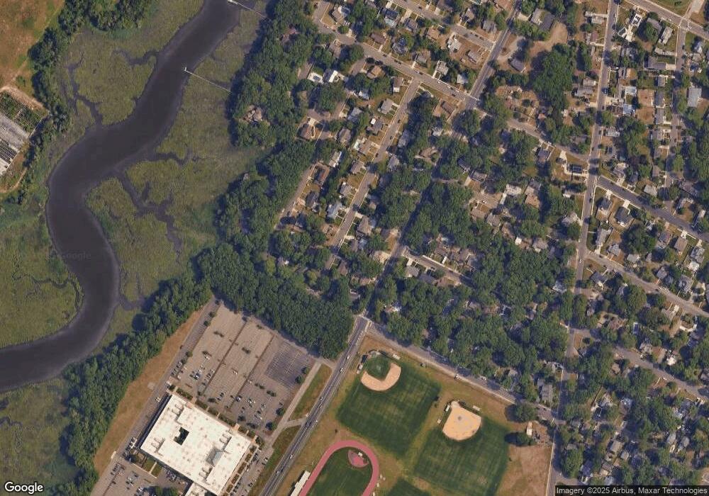
Map
Nearby Homes
- 1005 Bartlett Ave
- 1026 Bartlett Ave
- 1026 Bartlett Dr
- 901 Oak Ave
- 921 Oak Grove Ave
- 4 Princeton Ln
- 120 W Devonshire Ave
- 500 Davis Ave
- 7 Woodstock Dr
- 15 Elm Ave
- 109 Blackman Rd
- 102 Morris Ave
- 1050 Shore Rd
- 104 W Poplar Ave
- 209 Belhaven Ave
- 15 Jodel Ln
- 309 Haines Ave
- 1201 Woodlynne Blvd
- 2 Sandy Ct
- 130 Wilson Ave
- 1016 Richard Dr
- 1012 Richards Dr
- 1015 New Rd
- 1016 Richards Dr
- 1015 Richards Dr
- 1013 Richards Dr
- 1017 Richards Dr
- 1017 Richard Dr
- 1010 Richards Dr
- 1018 Richards Dr
- 500 W Monroe Ave
- 1011 Richards Dr
- 417 W Edgewood Ave
- 1014 Bartlett Ave
- 1019 Richards Dr
- 1016 Bartlett Ave
- 1012 Bartlett Ave
- 1008 Richards Dr
- 420 W Edgewood Ave
- 414 W Monroe Ave