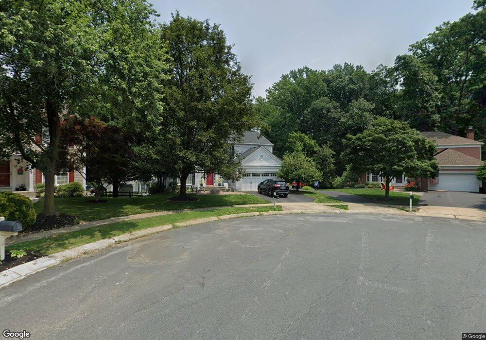
1014 Rosslare Ct Arnold, MD 21012
Estimated Value: $745,000 - $809,000
Studio
3
Baths
2,760
Sq Ft
$284/Sq Ft
Est. Value
About This Home
This home is located at 1014 Rosslare Ct, Arnold, MD 21012 and is currently estimated at $782,945, approximately $283 per square foot. 1014 Rosslare Ct is a home located in Anne Arundel County with nearby schools including Broadneck Elementary School, Magothy River Middle School, and Broadneck High School.
Ownership History
Date
Name
Owned For
Owner Type
Purchase Details
Closed on
Sep 1, 2004
Sold by
Abar Anthony
Bought by
Ney Steven D and Ney Denise Z
Current Estimated Value
Purchase Details
Closed on
Jun 29, 1994
Sold by
Pulte Home Corporation
Bought by
Abar Anthony F
Home Financials for this Owner
Home Financials are based on the most recent Mortgage that was taken out on this home.
Original Mortgage
$100,000
Interest Rate
8.55%
Create a Home Valuation Report for This Property
The Home Valuation Report is an in-depth analysis detailing your home's value as well as a comparison with similar homes in the area
Home Values in the Area
Average Home Value in this Area
Purchase History
| Date | Buyer | Sale Price | Title Company |
|---|---|---|---|
| Ney Steven D | $490,000 | -- | |
| Abar Anthony F | $221,200 | -- |
Source: Public Records
Mortgage History
| Date | Status | Borrower | Loan Amount |
|---|---|---|---|
| Previous Owner | Abar Anthony F | $100,000 | |
| Closed | Ney Steven D | -- |
Source: Public Records
Tax History
| Year | Tax Paid | Tax Assessment Tax Assessment Total Assessment is a certain percentage of the fair market value that is determined by local assessors to be the total taxable value of land and additions on the property. | Land | Improvement |
|---|---|---|---|---|
| 2025 | $6,269 | $615,500 | -- | -- |
| 2024 | $6,269 | $564,200 | $249,400 | $314,800 |
| 2023 | $6,119 | $559,300 | $0 | $0 |
| 2022 | $5,735 | $554,400 | $0 | $0 |
| 2020 | $5,501 | $541,833 | $0 | $0 |
| 2019 | $5,409 | $534,167 | $0 | $0 |
| 2018 | $5,339 | $526,500 | $187,100 | $339,400 |
| 2017 | $5,069 | $501,767 | $0 | $0 |
| 2016 | -- | $477,033 | $0 | $0 |
| 2015 | -- | $452,300 | $0 | $0 |
| 2014 | -- | $448,867 | $0 | $0 |
Source: Public Records
Map
Nearby Homes
- 1233 Birchcrest Ct
- 312 Rosslare Dr
- 434 College Pkwy
- 303 Ternwing Dr
- 1108 Silverleaf Dr
- 291 Waycross Way
- 1082 Brightleaf Ct
- 1078 Brightleaf Ct
- 1050 Brightleaf Dr
- 930 Whitstable Blvd
- 525 Loughton Ln
- 876 Nancy Lynn Ln
- 308 Clifton Ave
- 394 Kings College Dr
- 1176 White Coral Ct
- 136 Collington Ct
- 554 Melissa Ct
- 319 Alameda Pkwy
- 1117 Canterwood Place
- 508 Bay Hills Dr
- 1012 Rosslare Ct
- 331 Rosslare Dr
- 1016 Rosslare Ct
- 1010 Rosslare Ct
- 1015 Rosslare Ct
- 329 Rosslare Dr
- 327 Rosslare Dr
- 333 Rosslare Dr
- 325 Rosslare Dr
- 1013 Rosslare Ct
- 335 Rosslare Dr
- 1011 Rosslare Ct
- 323 Rosslare Dr
- 317 Rosslare Dr
- 410 Kimwood Rd
- 408 Kimwood Rd
- 416 Knottwood Ct
- 418 Knottwood Ct
- 338 Rosslare Dr
- 420 Knottwood Ct
Your Personal Tour Guide
Ask me questions while you tour the home.