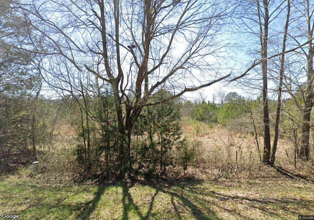
1014 Shiloh Rd Brandon, MS 39042
Estimated Value: $477,000 - $626,000
4
Beds
4
Baths
4,708
Sq Ft
$114/Sq Ft
Est. Value
About This Home
This home is located at 1014 Shiloh Rd, Brandon, MS 39042 and is currently estimated at $535,516, approximately $113 per square foot. 1014 Shiloh Rd is a home located in Rankin County with nearby schools including Rouse Elementary School, Brandon Elementary School, and Stonebridge Elementary School.
Ownership History
Date
Name
Owned For
Owner Type
Purchase Details
Closed on
Sep 28, 2021
Sold by
Gps Land Company Llc
Bought by
Mis Inc
Current Estimated Value
Purchase Details
Closed on
May 31, 2018
Sold by
Anderson James B and Anderson Gail S
Bought by
Tyndall William C and Tyndall Jennifer
Home Financials for this Owner
Home Financials are based on the most recent Mortgage that was taken out on this home.
Original Mortgage
$400,000
Interest Rate
4.5%
Mortgage Type
New Conventional
Create a Home Valuation Report for This Property
The Home Valuation Report is an in-depth analysis detailing your home's value as well as a comparison with similar homes in the area
Home Values in the Area
Average Home Value in this Area
Purchase History
| Date | Buyer | Sale Price | Title Company |
|---|---|---|---|
| Mis Inc | -- | None Listed On Document | |
| Tyndall William C | -- | -- |
Source: Public Records
Mortgage History
| Date | Status | Borrower | Loan Amount |
|---|---|---|---|
| Previous Owner | Tyndall William C | $400,000 |
Source: Public Records
Tax History Compared to Growth
Tax History
| Year | Tax Paid | Tax Assessment Tax Assessment Total Assessment is a certain percentage of the fair market value that is determined by local assessors to be the total taxable value of land and additions on the property. | Land | Improvement |
|---|---|---|---|---|
| 2024 | $3,250 | $35,970 | $0 | $0 |
| 2023 | $3,010 | $33,531 | $0 | $0 |
| 2022 | $2,959 | $33,531 | $0 | $0 |
| 2021 | $2,891 | $32,833 | $0 | $0 |
| 2020 | $2,891 | $32,833 | $0 | $0 |
| 2019 | $2,650 | $23,866 | $0 | $0 |
| 2018 | $2,038 | $23,866 | $0 | $0 |
| 2017 | $1,793 | $21,360 | $0 | $0 |
| 2016 | $1,614 | $20,584 | $0 | $0 |
| 2015 | $1,614 | $20,584 | $0 | $0 |
| 2014 | $1,570 | $20,584 | $0 | $0 |
| 2013 | $1,570 | $20,584 | $0 | $0 |
Source: Public Records
Map
Nearby Homes
- 130 Deer Ridge Rd
- 0 Hebron Hill Dr
- 00 Hebron Hill Dr
- 902 Belle Oak Cove
- 144 Kathryn Dr
- 111 Meadow Pointe Cove
- 112 Meadow Pointe Cove
- 103 Bella Vista Dr
- 3087 Louis Wilson Dr
- 444 Edgewood Crossing
- 305 Flagstone Dr
- 409 Sand Stone Place
- 318 Towne St
- 504 Westpark Ct
- 705 Brookwood Cir
- 509 Stone Brook Place
- 507 Stone Brook Place
- 505 Stone Brook Place
- 503 Stone Brook Place
- 504 Stone Brook Place
- 1014 Shiloh Rd
- 1014-B Shiloh Rd Unit 1014 parcel B
- 1014 Shiloh Rd Unit A
- 1014 Shiloh Rd
- 1014 Shiloh Rd
- 1014 Shiloh Rd
- 1014 Shiloh Rd Unit 1014 parcel B
- 1014 C Shiloh Rd
- 1014 Shiloh Rd
- 1014 Shiloh Rd
- 1014 Shiloh Rd
- 1014 Shiloh Rd
- 1014 B Shiloh Rd
- 1012 Shiloh Rd
- 1010 Shiloh Rd
- 1063 Shiloh Rd
- 281 Deer Ridge Rd
- 1015 Shiloh Rd
- 135 Deer Ridge Trail
- 119 Deer Ridge Trail
