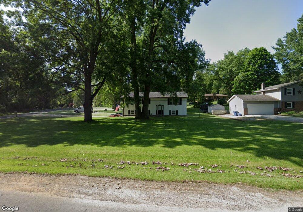
1014 Swigart Rd Barberton, OH 44203
Estimated Value: $200,000 - $270,000
3
Beds
2
Baths
1,196
Sq Ft
$194/Sq Ft
Est. Value
About This Home
This home is located at 1014 Swigart Rd, Barberton, OH 44203 and is currently estimated at $231,522, approximately $193 per square foot. 1014 Swigart Rd is a home located in Summit County with nearby schools including Nolley Elementary School, Manchester Middle School, and Manchester High School.
Ownership History
Date
Name
Owned For
Owner Type
Purchase Details
Closed on
Mar 28, 2001
Sold by
Krager Michael E
Bought by
Krager Michael E and Krager Rachel
Current Estimated Value
Home Financials for this Owner
Home Financials are based on the most recent Mortgage that was taken out on this home.
Original Mortgage
$102,820
Outstanding Balance
$37,903
Interest Rate
7.02%
Estimated Equity
$193,619
Create a Home Valuation Report for This Property
The Home Valuation Report is an in-depth analysis detailing your home's value as well as a comparison with similar homes in the area
Home Values in the Area
Average Home Value in this Area
Purchase History
| Date | Buyer | Sale Price | Title Company |
|---|---|---|---|
| Krager Michael E | -- | Endress/Lawyers Title | |
| Krager Michael E | $106,000 | Endress/Lawyers Title |
Source: Public Records
Mortgage History
| Date | Status | Borrower | Loan Amount |
|---|---|---|---|
| Open | Krager Michael E | $102,820 |
Source: Public Records
Tax History Compared to Growth
Tax History
| Year | Tax Paid | Tax Assessment Tax Assessment Total Assessment is a certain percentage of the fair market value that is determined by local assessors to be the total taxable value of land and additions on the property. | Land | Improvement |
|---|---|---|---|---|
| 2025 | $2,837 | $56,844 | $12,030 | $44,814 |
| 2024 | $2,837 | $56,844 | $12,030 | $44,814 |
| 2023 | $2,837 | $56,844 | $12,030 | $44,814 |
| 2022 | $3,039 | $47,422 | $10,024 | $37,398 |
| 2021 | $3,087 | $47,422 | $10,024 | $37,398 |
| 2020 | $2,997 | $47,420 | $10,020 | $37,400 |
| 2019 | $2,852 | $40,440 | $10,420 | $30,020 |
| 2018 | $2,461 | $40,440 | $10,420 | $30,020 |
| 2017 | $2,412 | $40,440 | $10,420 | $30,020 |
| 2016 | $2,383 | $35,910 | $9,320 | $26,590 |
| 2015 | $2,412 | $35,910 | $9,320 | $26,590 |
| 2014 | $2,393 | $35,910 | $9,320 | $26,590 |
| 2013 | $2,391 | $36,070 | $9,320 | $26,750 |
Source: Public Records
Map
Nearby Homes
- 4973 Patricia Dr
- 1343 Vermillion Dr
- 1365 Vanderhoof Rd
- 0 W Turkeyfoot Lake Rd Unit 5157637
- 4216 State Rd
- 4393 Hilltop Dr
- 547 Kruger Ave
- 538 Melcher Ave
- 4131 State Park Dr
- 4944 Coleman Dr
- 410 Silk Ct
- 4869 Coleman Dr
- 4119 Melton Ave
- 4034 Manchester Rd
- 855 Fowler Ave
- 715 Jolson Ave
- 3826 Powell Ave
- lot 8 Whyem Dr
- 4751 Bickford Ave
- 3738 Random Dr
- 1024 Swigart Rd
- 1034 Swigart Rd
- 4770 Edna Dr
- 4790 Edna Dr
- 1054 Swigart Rd
- 1025 Swigart Rd
- 4796 Edna Dr
- 1045 Swigart Rd
- 4749 Edna Dr
- 4779 Edna Dr
- 4765 Edna Dr
- 1057 Swigart Rd
- 4791 Edna Dr
- 4800 Edna Dr
- 1066 Swigart Rd
- 1067 Swigart Rd
- 4799 Edna Dr
- 1010 Green Valley Dr
- 1022 Green Valley Dr
- 1084 Swigart Rd