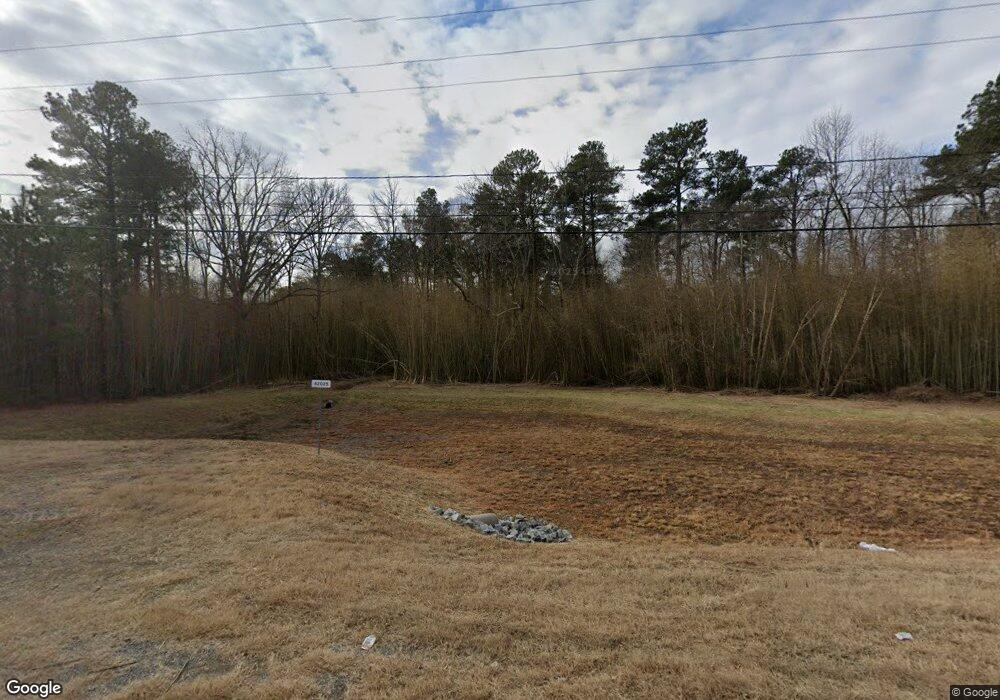
10141 E Patrick Henry Rd Ashland, VA 23005
Estimated Value: $250,461
2
Beds
1
Bath
768
Sq Ft
$326/Sq Ft
Est. Value
About This Home
This home is located at 10141 E Patrick Henry Rd, Ashland, VA 23005 and is currently estimated at $250,461, approximately $326 per square foot. 10141 E Patrick Henry Rd is a home located in Hanover County with nearby schools including Kersey Creek Elementary School, Oak Knoll Middle School, and Hanover High School.
Ownership History
Date
Name
Owned For
Owner Type
Purchase Details
Closed on
May 19, 2021
Sold by
Franck Robert H and Franck B C
Bought by
Franck Robert Harold and Franck Robert H
Current Estimated Value
Purchase Details
Closed on
May 2, 2016
Sold by
Crowder Earl H and Crowder Ruth C
Bought by
Hanover County A Political Subdivision O
Purchase Details
Closed on
Aug 31, 2011
Sold by
Dyson James O and Dyson Mark
Bought by
Crowder Earl H
Create a Home Valuation Report for This Property
The Home Valuation Report is an in-depth analysis detailing your home's value as well as a comparison with similar homes in the area
Purchase History
| Date | Buyer | Sale Price | Title Company |
|---|---|---|---|
| Franck Robert Harold | -- | None Listed On Document | |
| Hanover County A Political Subdivision O | $143,400 | Kdr Real Estate Services Inc | |
| Crowder Earl H | $36,000 | -- |
Source: Public Records
Tax History Compared to Growth
Tax History
| Year | Tax Paid | Tax Assessment Tax Assessment Total Assessment is a certain percentage of the fair market value that is determined by local assessors to be the total taxable value of land and additions on the property. | Land | Improvement |
|---|---|---|---|---|
| 2025 | $671 | $82,800 | $82,800 | $0 |
| 2024 | $671 | $82,800 | $82,800 | $0 |
| 2023 | $596 | $73,600 | $73,600 | $0 |
| 2022 | $522 | $64,500 | $64,500 | $0 |
| 2020 | $825 | $64,400 | $64,400 | $0 |
| 2019 | $825 | $59,800 | $59,800 | $0 |
| 2018 | $448 | $55,300 | $55,300 | $0 |
| 2017 | $916 | $113,100 | $55,300 | $57,800 |
| 2016 | $825 | $101,900 | $49,500 | $52,400 |
| 2015 | $825 | $101,900 | $49,500 | $52,400 |
| 2014 | $825 | $101,900 | $49,500 | $52,400 |
Source: Public Records
Map
Nearby Homes
- Edinburg Plan at Hickory Grove - 55+ Community
- Edison Plan at Hickory Grove - 55+ Community
- Patterson Plan at Hickory Grove - 55+ Community
- Burton Plan at Hickory Grove - 55+ Community
- 12778 Mount Hermon Rd
- 10122 Cameron Ridge Dr
- 9461 Wickham Crossing Way
- 9307 Oak Trail
- 213 Berkley St
- 206 Randolph St
- 311 Robinson St Unit 2
- 0 E Patrick St
- 10439 Ashcake Rd
- 126 Arlington Square
- 12416 Mount Hermon Rd
- 13248 Lucy Penn Cir
- 104 Linden St
- 709 Virginia St
- 307 S Railroad Ave
- 6 Courtside Ln
- 10135 E Patrick Henry Rd
- 10165 E Patrick Henry Rd
- 10125 E Patrick Henry Rd
- 13097 Hill Top Dr
- 10171 E Patrick Henry Rd
- 10115 E Patrick Henry Rd
- 10845 Providence Woods Ln
- 10848 Providence Woods Ln
- 10109 E Patrick Henry Rd
- 10841 Providence Woods Ln
- 13083 Hill Top Dr
- 13400 Dyson Trail Cir
- 10837 Providence Woods Ln
- 13404 Dyson Trail Cir
- 10844 Providence Woods Ln
- 10840 Providence Woods Ln
- 13078 Hill Top Dr
- 10833 Providence Woods Ln
- 13408 Dyson Trail Cir
- 10836 Providence Woods Ln
