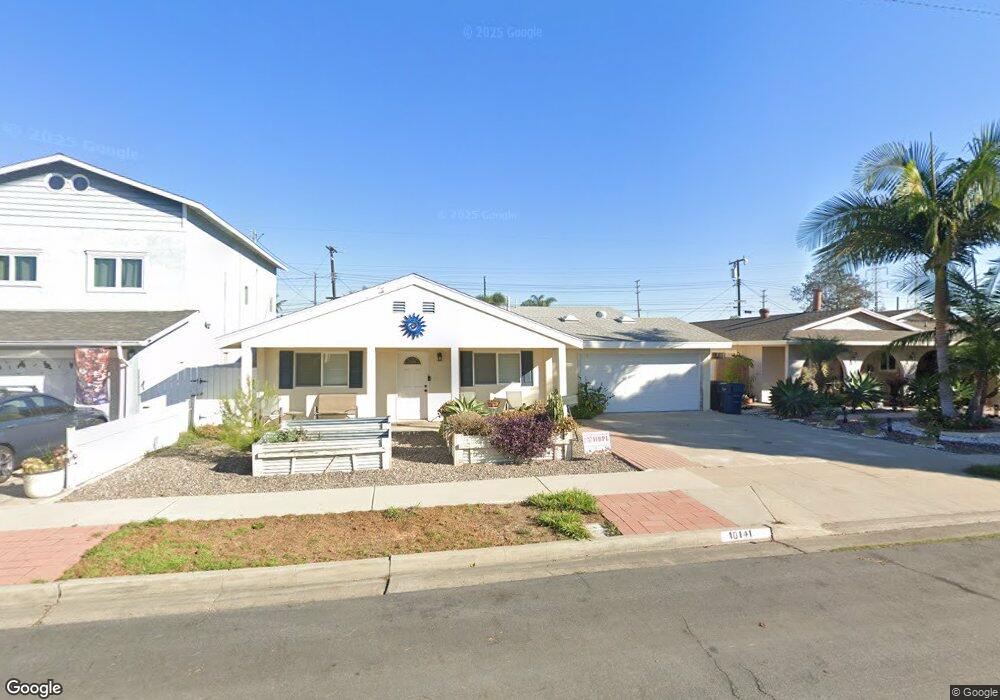
10141 Halawa Dr Huntington Beach, CA 92646
Estimated Value: $1,207,000 - $1,495,000
5
Beds
3
Baths
2,103
Sq Ft
$672/Sq Ft
Est. Value
About This Home
This home is located at 10141 Halawa Dr, Huntington Beach, CA 92646 and is currently estimated at $1,413,923, approximately $672 per square foot. 10141 Halawa Dr is a home located in Orange County with nearby schools including Isojiro Oka Elementary, Talbert Middle School, and Edison High School.
Ownership History
Date
Name
Owned For
Owner Type
Purchase Details
Closed on
Nov 17, 2005
Sold by
Leclaire Andrea J and Leclaie Andrea J
Bought by
Leclaire Andrea J
Current Estimated Value
Purchase Details
Closed on
Mar 14, 2001
Sold by
Leclaire Paul G
Bought by
Leclaire Andrea J
Home Financials for this Owner
Home Financials are based on the most recent Mortgage that was taken out on this home.
Original Mortgage
$252,200
Outstanding Balance
$92,108
Interest Rate
7.06%
Estimated Equity
$1,321,815
Purchase Details
Closed on
Feb 28, 2001
Sold by
Montrelli Christina L
Bought by
Leclaire Andrea J
Home Financials for this Owner
Home Financials are based on the most recent Mortgage that was taken out on this home.
Original Mortgage
$252,200
Outstanding Balance
$92,108
Interest Rate
7.06%
Estimated Equity
$1,321,815
Purchase Details
Closed on
Jul 24, 1997
Sold by
Christina Montrelli
Bought by
Montrelli Christina L and Christina L Montrelli Living Trust
Create a Home Valuation Report for This Property
The Home Valuation Report is an in-depth analysis detailing your home's value as well as a comparison with similar homes in the area
Home Values in the Area
Average Home Value in this Area
Purchase History
| Date | Buyer | Sale Price | Title Company |
|---|---|---|---|
| Leclaire Andrea J | -- | -- | |
| Leclaire Andrea J | -- | First American Title | |
| Leclaire Andrea J | $260,000 | First American Title | |
| Montrelli Christina L | -- | -- |
Source: Public Records
Mortgage History
| Date | Status | Borrower | Loan Amount |
|---|---|---|---|
| Open | Leclaire Andrea J | $252,200 |
Source: Public Records
Tax History Compared to Growth
Tax History
| Year | Tax Paid | Tax Assessment Tax Assessment Total Assessment is a certain percentage of the fair market value that is determined by local assessors to be the total taxable value of land and additions on the property. | Land | Improvement |
|---|---|---|---|---|
| 2025 | $5,943 | $518,131 | $325,476 | $192,655 |
| 2024 | $5,943 | $507,972 | $319,094 | $188,878 |
| 2023 | $5,803 | $498,012 | $312,837 | $185,175 |
| 2022 | $5,718 | $488,248 | $306,703 | $181,545 |
| 2021 | $5,608 | $478,675 | $300,689 | $177,986 |
| 2020 | $5,575 | $473,767 | $297,606 | $176,161 |
| 2019 | $5,463 | $464,478 | $291,771 | $172,707 |
| 2018 | $5,359 | $455,371 | $286,050 | $169,321 |
| 2017 | $5,275 | $446,443 | $280,442 | $166,001 |
| 2016 | $5,051 | $437,690 | $274,943 | $162,747 |
| 2015 | $4,975 | $431,116 | $270,813 | $160,303 |
| 2014 | $4,877 | $422,672 | $265,509 | $157,163 |
Source: Public Records
Map
Nearby Homes
- 10151 Kukui Dr
- 19361 Brookhurst St Unit 159
- 19361 Brookhurst St Unit 87
- 19361 Brookhurst St Unit 50
- 19361 Brookhurst St Unit 143
- 19361 Brookhurst St Unit 21
- 19361 Brookhurst St Unit 22
- 19361 Brookhurst St Unit 184
- 19361 Brookhurst St Unit 33
- 19251 Brookhurst St Unit 13
- 19251 Brookhurst St Unit 48
- 19251 Brookhurst St Unit 11
- 19251 Brookhurst St Unit 22
- 19251 Brookhurst St Unit 38
- 19251 Brookhurst St Unit 137
- 19251 Brookhurst St Unit 69
- 19350 Ward St Unit 14
- 19350 Ward St Unit 38
- 19350 Ward St Unit 57
- 9850 Garfield Ave Unit 129
- 10151 Halawa Dr
- 10121 Halawa Dr
- 10142 Kamuela Dr
- 10152 Kamuela Dr
- 10122 Kamuela Dr
- 10171 Halawa Dr
- 19302 Mauna Ln
- 19292 Mauna Ln
- 10172 Kamuela Dr
- 10142 Halawa Dr
- 10122 Halawa Dr
- 10152 Halawa Dr
- 10181 Halawa Dr
- 19282 Mauna Ln
- 10172 Halawa Dr
- 19322 Mauna Ln
- 10182 Kamuela Dr
- 10191 Halawa Dr
- 19332 Mauna Ln
- 10192 Kamuela Dr