Estimated Value: $53,000 - $239,278
3
Beds
2
Baths
1,838
Sq Ft
$80/Sq Ft
Est. Value
About This Home
This home is located at 10143 Highway S33 Unit CO, Alden, IA 50006 and is currently estimated at $146,139, approximately $79 per square foot. 10143 Highway S33 Unit CO is a home located in Hardin County with nearby schools including Pineview Elementary School, Rock Run Elementary School, and Riverbend Middle School.
Ownership History
Date
Name
Owned For
Owner Type
Purchase Details
Closed on
Mar 4, 2013
Sold by
Liekweg Dale E and Liekweg Jessica L
Bought by
Hansen Heath C and Hansen Page M
Current Estimated Value
Home Financials for this Owner
Home Financials are based on the most recent Mortgage that was taken out on this home.
Original Mortgage
$20,000
Interest Rate
2.76%
Mortgage Type
New Conventional
Create a Home Valuation Report for This Property
The Home Valuation Report is an in-depth analysis detailing your home's value as well as a comparison with similar homes in the area
Home Values in the Area
Average Home Value in this Area
Purchase History
| Date | Buyer | Sale Price | Title Company |
|---|---|---|---|
| Hansen Heath C | $140,000 | -- |
Source: Public Records
Mortgage History
| Date | Status | Borrower | Loan Amount |
|---|---|---|---|
| Closed | Hansen Heath C | $20,000 |
Source: Public Records
Tax History Compared to Growth
Tax History
| Year | Tax Paid | Tax Assessment Tax Assessment Total Assessment is a certain percentage of the fair market value that is determined by local assessors to be the total taxable value of land and additions on the property. | Land | Improvement |
|---|---|---|---|---|
| 2025 | $2,038 | $186,930 | $39,000 | $147,930 |
| 2024 | $2,038 | $168,420 | $39,000 | $129,420 |
| 2023 | $2,064 | $168,420 | $39,000 | $129,420 |
| 2022 | $1,952 | $155,510 | $39,000 | $116,510 |
| 2021 | $58 | $155,510 | $39,000 | $116,510 |
| 2020 | $1,928 | $146,700 | $32,670 | $114,030 |
| 2019 | $1,714 | $146,700 | $0 | $0 |
| 2018 | $1,714 | $133,360 | $0 | $0 |
| 2017 | $1,706 | $121,240 | $0 | $0 |
| 2016 | $1,766 | $121,240 | $0 | $0 |
| 2015 | $1,874 | $121,240 | $0 | $0 |
| 2014 | $1,584 | $103,270 | $0 | $0 |
Source: Public Records
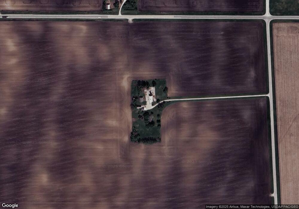
Map
Nearby Homes
- TBD 1.68 acres Thurston Ln
- TBD 1.67 acres Thurston Ln
- 1021 Palisades Ct
- 1015 Palisades Ct
- 1017 Palisades Ct
- 1016 Palisades Ct
- 1012 Palisades Ct
- 2510 Kenison Way
- 1006 Palisades Ct
- 1008 Palisades Ct
- 2517 Kenison Way
- 1004 Palisades Ct
- 1010 Palisades Ct
- 2525 Kenison Way
- 2515 Kenison Way
- 19547 Highway D15
- 1014 Palisades Ct
- 2521 Kenison Way
- 1009 Palisades Ct
- 1013 Palisades Ct