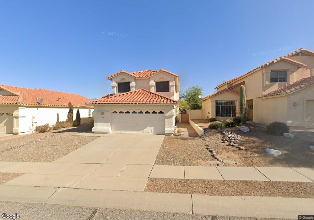
10145 E Queensgate Way Tucson, AZ 85748
Eastside NeighborhoodEstimated Value: $364,308 - $414,000
Studio
3
Baths
2,027
Sq Ft
$191/Sq Ft
Est. Value
About This Home
This home is located at 10145 E Queensgate Way, Tucson, AZ 85748 and is currently estimated at $387,327, approximately $191 per square foot. 10145 E Queensgate Way is a home located in Pima County with nearby schools including Gale Elementary School, Gridley Middle School, and Sahuaro High School.
Ownership History
Date
Name
Owned For
Owner Type
Purchase Details
Closed on
Apr 17, 1996
Sold by
Fidelity National Title Agency Inc
Bought by
Gilchrist Raymond T and Gilchrist Carole R
Current Estimated Value
Home Financials for this Owner
Home Financials are based on the most recent Mortgage that was taken out on this home.
Original Mortgage
$143,450
Outstanding Balance
$2,946
Interest Rate
7.41%
Mortgage Type
New Conventional
Estimated Equity
$384,381
Create a Home Valuation Report for This Property
The Home Valuation Report is an in-depth analysis detailing your home's value as well as a comparison with similar homes in the area
Home Values in the Area
Average Home Value in this Area
Purchase History
| Date | Buyer | Sale Price | Title Company |
|---|---|---|---|
| Gilchrist Raymond T | $151,897 | -- |
Source: Public Records
Mortgage History
| Date | Status | Borrower | Loan Amount |
|---|---|---|---|
| Open | Gilchrist Raymond T | $143,450 |
Source: Public Records
Tax History
| Year | Tax Paid | Tax Assessment Tax Assessment Total Assessment is a certain percentage of the fair market value that is determined by local assessors to be the total taxable value of land and additions on the property. | Land | Improvement |
|---|---|---|---|---|
| 2026 | $2,799 | $25,188 | -- | -- |
| 2025 | $2,799 | $23,989 | -- | -- |
| 2024 | $2,512 | $22,847 | -- | -- |
| 2023 | $2,512 | $21,759 | $0 | $0 |
| 2022 | $2,531 | $20,723 | $0 | $0 |
| 2021 | $2,578 | $19,080 | $0 | $0 |
| 2020 | $2,475 | $19,080 | $0 | $0 |
| 2019 | $2,404 | $18,504 | $0 | $0 |
| 2018 | $2,293 | $16,591 | $0 | $0 |
| 2017 | $2,203 | $16,591 | $0 | $0 |
| 2016 | $2,231 | $16,414 | $0 | $0 |
| 2015 | $2,134 | $15,633 | $0 | $0 |
Source: Public Records
Map
Nearby Homes
- 244 S Ridgefield Ave
- 9908 E Shadow Glen Ct
- 10346 E Vail Trap Spring Ct
- 385 S Ridgefield Ave
- 32 S Happy Valley Saddle Dr
- 112 S Happy Valley Saddle Dr
- 137 S Shadow Creek Place
- 68 N Camino Imagen
- 9921 E Bunker Hill Place
- 661 S Granite Falls Dr
- 525 N Bonanza Ave
- 10621 E Northern Crest Dr
- 9960 E Cir
- 10627 E Northern Crest Dr
- 220 S Vozack Ln
- 10630 E Northern Crest Dr
- 442 N Bull Run Dr
- 152 N Fenceline Dr
- 132 N Nightfall Ave
- 239 S Eastern Dawn Ave
- 10153 E Queensgate Way
- 10137 E Queensgate Way
- 10140 E Queensgate Way
- 10169 E Queensgate Way
- 10148 E Queensgate Way
- 10132 E Queensgate Way
- 10156 E Queensgate Way
- 10177 E Queensgate Way
- 10164 E Queensgate Way
- 10139 E Calle Sinaloa
- 10185 E Queensgate Way
- 10150 E Karen Place
- 10131 E Calle Sinaloa
- 10147 E Calle Sinaloa
- 10140 E Karen Place
- 10130 E Karen Place
- 10172 E Queensgate Way
- 10160 E Karen Place
- 10155 E Calle Sinaloa
- 10163 E Calle Sinaloa
Your Personal Tour Guide
Ask me questions while you tour the home.