10145 Tagus Ave Brownton, MN 55312
Estimated Value: $295,000 - $309,865
3
Beds
2
Baths
2,836
Sq Ft
$107/Sq Ft
Est. Value
About This Home
This home is located at 10145 Tagus Ave, Brownton, MN 55312 and is currently estimated at $302,433, approximately $106 per square foot. 10145 Tagus Ave is a home located in McLeod County with nearby schools including Lincoln Elementary School, Lakeside Elementary School, and Glencoe-Silver Lake Jr. High School.
Ownership History
Date
Name
Owned For
Owner Type
Purchase Details
Closed on
Dec 29, 2020
Sold by
Shoutz Casey S and Shoutz Angela
Bought by
Baldwin Peter
Current Estimated Value
Home Financials for this Owner
Home Financials are based on the most recent Mortgage that was taken out on this home.
Original Mortgage
$207,000
Outstanding Balance
$184,389
Interest Rate
2.6%
Mortgage Type
New Conventional
Estimated Equity
$118,044
Purchase Details
Closed on
May 30, 2014
Sold by
Gary Gary and Stibal Ardena M
Bought by
Shoutz Casey S
Home Financials for this Owner
Home Financials are based on the most recent Mortgage that was taken out on this home.
Original Mortgage
$161,192
Interest Rate
4.28%
Mortgage Type
FHA
Create a Home Valuation Report for This Property
The Home Valuation Report is an in-depth analysis detailing your home's value as well as a comparison with similar homes in the area
Home Values in the Area
Average Home Value in this Area
Purchase History
| Date | Buyer | Sale Price | Title Company |
|---|---|---|---|
| Baldwin Peter | $230,000 | Title Mark Llc | |
| Shoutz Casey S | -- | -- | |
| Baldwin Peter Peter | $230,000 | -- |
Source: Public Records
Mortgage History
| Date | Status | Borrower | Loan Amount |
|---|---|---|---|
| Open | Baldwin Peter | $207,000 | |
| Previous Owner | Shoutz Casey S | $161,192 | |
| Closed | Baldwin Peter Peter | $207,000 |
Source: Public Records
Tax History Compared to Growth
Tax History
| Year | Tax Paid | Tax Assessment Tax Assessment Total Assessment is a certain percentage of the fair market value that is determined by local assessors to be the total taxable value of land and additions on the property. | Land | Improvement |
|---|---|---|---|---|
| 2024 | $2,058 | $265,200 | $183,600 | $81,600 |
| 2023 | $1,916 | $243,700 | $166,000 | $77,700 |
| 2022 | $1,836 | $241,600 | $166,000 | $75,600 |
| 2021 | $1,846 | $192,000 | $127,500 | $64,500 |
| 2020 | $1,686 | $192,000 | $127,500 | $64,500 |
| 2019 | $1,564 | $173,300 | $115,900 | $57,400 |
| 2018 | $1,520 | $0 | $0 | $0 |
| 2017 | $1,086 | $0 | $0 | $0 |
| 2016 | $1,066 | $0 | $0 | $0 |
| 2015 | $796 | $0 | $0 | $0 |
| 2014 | -- | $0 | $0 | $0 |
Source: Public Records
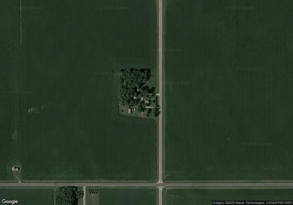
Map
Nearby Homes
- 11655 Sunset Cir
- 11742 Sunset Cir
- Lot 2 Tagus Ave
- 12893 County Road 7
- 237 5th St N
- 304 1st Ave N
- xxx Lot 3 Division St W
- 122 2nd Ave S
- 531 2nd St N
- 221 3rd Ave S
- XXX US Hwy 212
- xxx Lot 2 Us Hwy 212
- 752 2nd St N
- 7612 Plum Ave
- Lot 2 U S Highway 212
- 16452 90th St
- 15092 Highway 15 S
- 800 Powers St
- 0000 Wells Ave
- 23535 York Rd
- 10374 Tagus Ave
- 10374 Tagus Ave
- 10587 Tagus Ave
- 10587 Tagus Ave
- 10587 Tagus Ave
- 10587 Tagus Ave
- 000 Tagus Ave
- 19508 100th St
- 19513 100th St
- 19536 108th St
- 11022 Whitney Lake Rd E
- 19297 108th St
- 19274 100th St
- 10898 S Sunset Dr
- 10864 S Sunset Dr
- 10842 S Sunset Dr
- 10806 S Sunset Dr
- 10956 S Sunset Dr
- 10784 S Sunset Dr
- 10924 S Sunset Dr