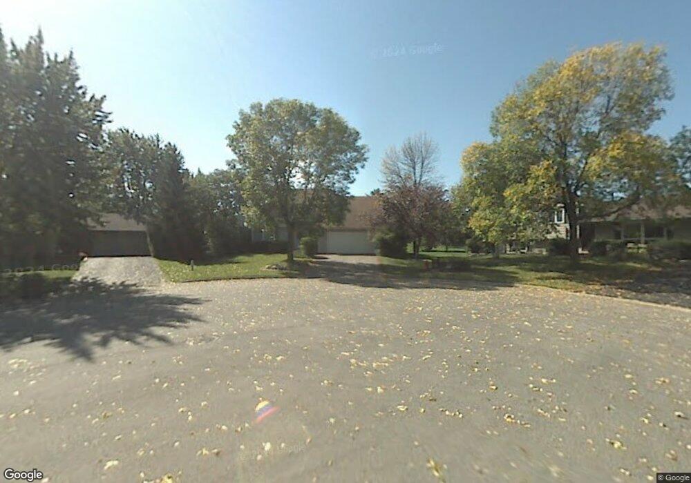
10148 Utah Cir Bloomington, MN 55438
West Bloomington NeighborhoodEstimated Value: $469,538 - $517,000
4
Beds
3
Baths
990
Sq Ft
$496/Sq Ft
Est. Value
About This Home
This home is located at 10148 Utah Cir, Bloomington, MN 55438 and is currently estimated at $491,135, approximately $496 per square foot. 10148 Utah Cir is a home located in Hennepin County with nearby schools including Normandale Hills Elementary School, Olson Middle School, and Jefferson Senior High School.
Ownership History
Date
Name
Owned For
Owner Type
Purchase Details
Closed on
Jun 22, 2020
Sold by
Asmus Randy A and Asmus Michelle R
Bought by
Scholl Michael C and Scholl Alyssa M
Current Estimated Value
Home Financials for this Owner
Home Financials are based on the most recent Mortgage that was taken out on this home.
Original Mortgage
$332,500
Outstanding Balance
$294,736
Interest Rate
3.2%
Mortgage Type
New Conventional
Estimated Equity
$196,399
Create a Home Valuation Report for This Property
The Home Valuation Report is an in-depth analysis detailing your home's value as well as a comparison with similar homes in the area
Home Values in the Area
Average Home Value in this Area
Purchase History
| Date | Buyer | Sale Price | Title Company |
|---|---|---|---|
| Scholl Michael C | $350,000 | Minnesota Title |
Source: Public Records
Mortgage History
| Date | Status | Borrower | Loan Amount |
|---|---|---|---|
| Open | Scholl Michael C | $332,500 |
Source: Public Records
Tax History Compared to Growth
Tax History
| Year | Tax Paid | Tax Assessment Tax Assessment Total Assessment is a certain percentage of the fair market value that is determined by local assessors to be the total taxable value of land and additions on the property. | Land | Improvement |
|---|---|---|---|---|
| 2024 | $5,418 | $421,800 | $160,800 | $261,000 |
| 2023 | $5,161 | $425,300 | $171,000 | $254,300 |
| 2022 | $4,267 | $394,900 | $150,700 | $244,200 |
| 2021 | $4,198 | $335,600 | $132,500 | $203,100 |
| 2020 | $4,495 | $333,500 | $132,900 | $200,600 |
| 2019 | $3,969 | $345,700 | $132,900 | $212,800 |
| 2018 | $3,642 | $303,300 | $120,800 | $182,500 |
| 2017 | $3,565 | $271,100 | $98,800 | $172,300 |
| 2016 | $3,803 | $274,100 | $99,200 | $174,900 |
| 2015 | $3,595 | $251,600 | $97,400 | $154,200 |
| 2014 | -- | $231,200 | $94,500 | $136,700 |
Source: Public Records
Map
Nearby Homes
- 10170 Utah Ave S
- 7501 W 101st St Unit 310
- 7501 W 101st St Unit 107
- 8149 W 103rd St
- 10433 Utah Rd
- 7651 Bush Lake Dr
- 7920 W 107th Street Cir
- 7534 Landau Dr
- 10405 Decatur Ave S
- 10434 Decatur Ave S
- 7401 Landau Dr Unit 12
- 10462 Decatur Ave S
- 7325 Bush Lake Dr
- 10707 Yukon Ave S
- 10561 Maryland Rd
- 7256 Woodstock Dr
- 7321 Woodstock Curve
- 9579 Falcons Way
- 9775 Dorset Ln
- 9767 Dorset Ln
- 10146 Utah Cir
- 10150 Utah Cir
- 10152 Utah Ave S
- 10144 Utah Cir
- 10158 Utah Ave S
- 10142 Utah Cir
- 10140 Utah Ave S
- 10157 Yukon Ave S
- 10164 Utah Ave S
- 10122 Utah Cir
- 10134 Utah Ave S
- 10166 Utah Ave S
- 10124 Utah Cir
- 10120 Utah Cir
- 10201 Yukon Ave S
- 10149 Yukon Ave S
- 10126 Utah Cir
- 10128 Utah Cir
- 10209 Yukon Ave S
- 10141 Yukon Ave S