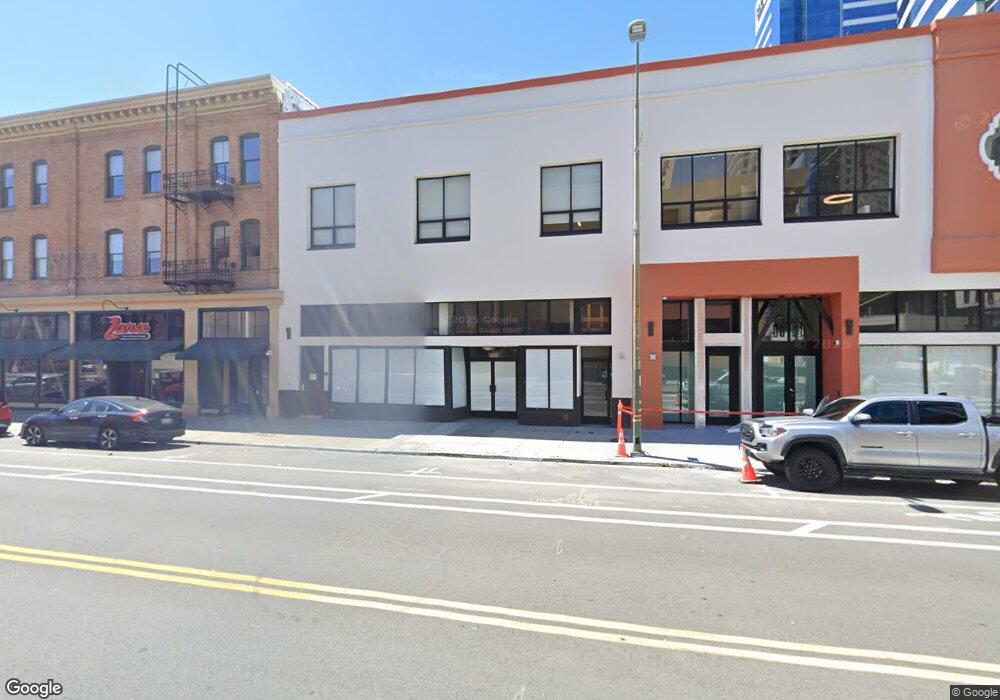
1015 Clay St Oakland, CA 94607
Old Oakland NeighborhoodEstimated Value: $2,070,217
--
Bed
--
Bath
4,500
Sq Ft
$460/Sq Ft
Est. Value
About This Home
This home is located at 1015 Clay St, Oakland, CA 94607 and is currently estimated at $2,070,217, approximately $460 per square foot. 1015 Clay St is a home located in Alameda County with nearby schools including Lincoln Elementary School, Westlake Middle School, and Oakland Technical High School.
Ownership History
Date
Name
Owned For
Owner Type
Purchase Details
Closed on
Oct 11, 2023
Sold by
Mock Nelson and Pao Kin And May Fong Lee Poon Trust
Bought by
Safe Passages
Current Estimated Value
Home Financials for this Owner
Home Financials are based on the most recent Mortgage that was taken out on this home.
Original Mortgage
$1,998,000
Outstanding Balance
$1,959,154
Interest Rate
7.18%
Mortgage Type
New Conventional
Estimated Equity
$111,063
Purchase Details
Closed on
Jan 31, 2013
Sold by
Mock Nelson and Mock Paula L Tam
Bought by
Mock Nelson and Mock Paula L Tam
Home Financials for this Owner
Home Financials are based on the most recent Mortgage that was taken out on this home.
Original Mortgage
$700,000
Interest Rate
3.29%
Mortgage Type
Commercial
Purchase Details
Closed on
Oct 28, 2005
Sold by
Poon Pao Kin and Poon May Fong Lee
Bought by
Poon Pao Kin and Poon May Fong Lee
Purchase Details
Closed on
Oct 2, 2002
Sold by
Wong Kam Foo
Bought by
Wong King Fong Tam
Create a Home Valuation Report for This Property
The Home Valuation Report is an in-depth analysis detailing your home's value as well as a comparison with similar homes in the area
Home Values in the Area
Average Home Value in this Area
Purchase History
| Date | Buyer | Sale Price | Title Company |
|---|---|---|---|
| Safe Passages | $2,350,000 | None Listed On Document | |
| Mock Nelson | -- | Fidelity National Title Co | |
| Poon Pao Kin | -- | -- | |
| Wong King Fong Tam | -- | Chicago Title Co | |
| Mock Nelson | $1,500,000 | Chicago Title Co |
Source: Public Records
Mortgage History
| Date | Status | Borrower | Loan Amount |
|---|---|---|---|
| Open | Safe Passages | $1,998,000 | |
| Previous Owner | Mock Nelson | $700,000 |
Source: Public Records
Tax History Compared to Growth
Tax History
| Year | Tax Paid | Tax Assessment Tax Assessment Total Assessment is a certain percentage of the fair market value that is determined by local assessors to be the total taxable value of land and additions on the property. | Land | Improvement |
|---|---|---|---|---|
| 2025 | $31,736 | $2,397,000 | $1,020,000 | $1,377,000 |
| 2024 | $31,736 | $2,350,000 | $1,000,000 | $1,350,000 |
| 2023 | $17,109 | $1,868,331 | $776,986 | $1,091,345 |
| 2022 | $16,718 | $1,075,232 | $286,584 | $788,648 |
| 2021 | $16,100 | $1,054,157 | $280,967 | $773,190 |
| 2020 | $15,929 | $1,043,354 | $278,088 | $765,266 |
| 2019 | $15,292 | $1,014,536 | $272,636 | $741,900 |
| 2018 | $14,976 | $994,648 | $267,292 | $727,356 |
| 2017 | $14,474 | $975,149 | $262,052 | $713,097 |
| 2016 | $14,091 | $956,035 | $256,916 | $699,119 |
| 2015 | $14,022 | $941,678 | $253,058 | $688,620 |
| 2014 | $14,562 | $928,310 | $248,102 | $680,208 |
Source: Public Records
Map
Nearby Homes
- 555 10th St Unit 113
- 555 10th St Unit 315
- 555 10th St Unit 102
- 555 10th St Unit 201
- 901 Jefferson St Unit 406
- 801 Clay St Unit 801
- 585 9th St Unit 556
- 585 9th St Unit 422
- 667 10th St
- 485 8th St Unit 402
- 655 12th St Unit 220
- 655 12th St Unit 205
- 655 12th St Unit 311
- 686 10th St Unit 6
- 989 Franklin St Unit 608
- 989 Franklin St Unit 621
- 989 Franklin St Unit 307
- 801 Franklin St Unit 902
- 801 Franklin St Unit 205
- 801 Franklin St Unit 819
- 1019 Clay St
- 1009 Clay St
- 1006 Jefferson St
- 1150 Clay St
- 1150 Clay St
- 555 10th St
- 562 9th St Unit 562
- 560 9th St Unit 560
- 555 10th St Unit 429
- 555 10th St Unit 427
- 555 10th St Unit 426
- 555 10th St Unit 425
- 555 10th St Unit 424
- 555 10th St Unit 423
- 555 10th St Unit 421
- 555 10th St Unit 420
- 555 10th St Unit 419
- 555 10th St Unit 418
- 555 10th St Unit 216
- 555 10th St Unit 215