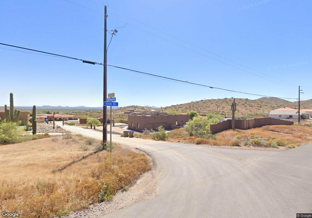
1015 E Red Range Way Phoenix, AZ 85085
Desert View NeighborhoodEstimated Value: $804,000 - $1,420,000
4
Beds
3
Baths
3,365
Sq Ft
$344/Sq Ft
Est. Value
About This Home
This home is located at 1015 E Red Range Way, Phoenix, AZ 85085 and is currently estimated at $1,157,976, approximately $344 per square foot. 1015 E Red Range Way is a home located in Maricopa County with nearby schools including Desert Mountain Middle School, Boulder Creek High School, and Stepping Stones Academy.
Ownership History
Date
Name
Owned For
Owner Type
Purchase Details
Closed on
Jul 8, 2022
Sold by
Felice Feldstein
Bought by
Feldstein Family Trust
Current Estimated Value
Purchase Details
Closed on
Apr 6, 2022
Sold by
Felice Feldstein
Bought by
Feldstein Family Trust
Purchase Details
Closed on
Jul 19, 2010
Sold by
M & I Marshall & Ilsley Bank
Bought by
Forbes Jefferey and Forbes Jennifer
Home Financials for this Owner
Home Financials are based on the most recent Mortgage that was taken out on this home.
Original Mortgage
$279,000
Interest Rate
4.71%
Mortgage Type
New Conventional
Purchase Details
Closed on
Mar 16, 2010
Sold by
Smith Edwin J
Bought by
M&I Marshall & Ilsley Bank
Create a Home Valuation Report for This Property
The Home Valuation Report is an in-depth analysis detailing your home's value as well as a comparison with similar homes in the area
Home Values in the Area
Average Home Value in this Area
Purchase History
| Date | Buyer | Sale Price | Title Company |
|---|---|---|---|
| Feldstein Family Trust | -- | Benedict Legal | |
| Feldstein Family Trust | -- | Benedict Legal | |
| Forbes Jefferey | $310,000 | Security Title Agency | |
| M&I Marshall & Ilsley Bank | $332,100 | Empire West Title Agency |
Source: Public Records
Mortgage History
| Date | Status | Borrower | Loan Amount |
|---|---|---|---|
| Previous Owner | Forbes Jefferey | $279,000 |
Source: Public Records
Tax History
| Year | Tax Paid | Tax Assessment Tax Assessment Total Assessment is a certain percentage of the fair market value that is determined by local assessors to be the total taxable value of land and additions on the property. | Land | Improvement |
|---|---|---|---|---|
| 2025 | $5,312 | $50,489 | -- | -- |
| 2024 | $5,655 | $48,085 | -- | -- |
| 2023 | $5,655 | $74,000 | $14,800 | $59,200 |
| 2022 | $5,455 | $57,110 | $11,420 | $45,690 |
| 2021 | $5,553 | $51,030 | $10,200 | $40,830 |
| 2020 | $5,439 | $49,650 | $9,930 | $39,720 |
| 2019 | $4,672 | $47,670 | $9,530 | $38,140 |
| 2018 | $4,499 | $46,960 | $9,390 | $37,570 |
| 2017 | $4,403 | $43,670 | $8,730 | $34,940 |
| 2016 | $3,958 | $44,760 | $8,950 | $35,810 |
Source: Public Records
Map
Nearby Homes
- 33413 N 10th St
- 33207 N 12th St
- 3xx E Paint Your Wagon Trail Unit 1
- 576 E Tanglewood Trail
- 532 E Tanglewood Trail
- 612 E Tanglewood Trail
- 33521 N 14th Place
- 532 E Paint Your Wagon Trail
- 34018 N 7th St
- 6XX E Paint Your Wagon Trail
- 612 E Amber Sun Dr
- 1320 E Sagebrush Dr
- 34406 N 12th St
- 34005 N 2nd St
- 18 E Paint Your Wagon Trail
- 0 E Carefree Hwy Unit 6865137
- 825 E Perdido Way
- 34023 N 2nd Ln
- 34889 N 3rd St
- 311 W Olesen Rd
- 1036 E Red Ranger Way
- 1036 E Red Ranger Way
- 1018 E Red Range Way
- 1024 E Old West Way
- 1029 E Red Range Way
- 1036 E Red Range Way
- 1036 E Red Range Way
- 1036 E Red Range Way Unit 102
- 1036 E Red Range Way Unit 104
- 1036 E Red Range Way Unit 2
- 1036 E Red Range Way
- 33109 N 10th St
- 33218 N 10th St
- 33206 N 10th St
- 33148 N 10th St
- 1041 E Red Range Way
- 33025 N 10th St
- 1044 E Old Way W
- 12XX E Old Way W
- 12XX E Old Way W
Your Personal Tour Guide
Ask me questions while you tour the home.