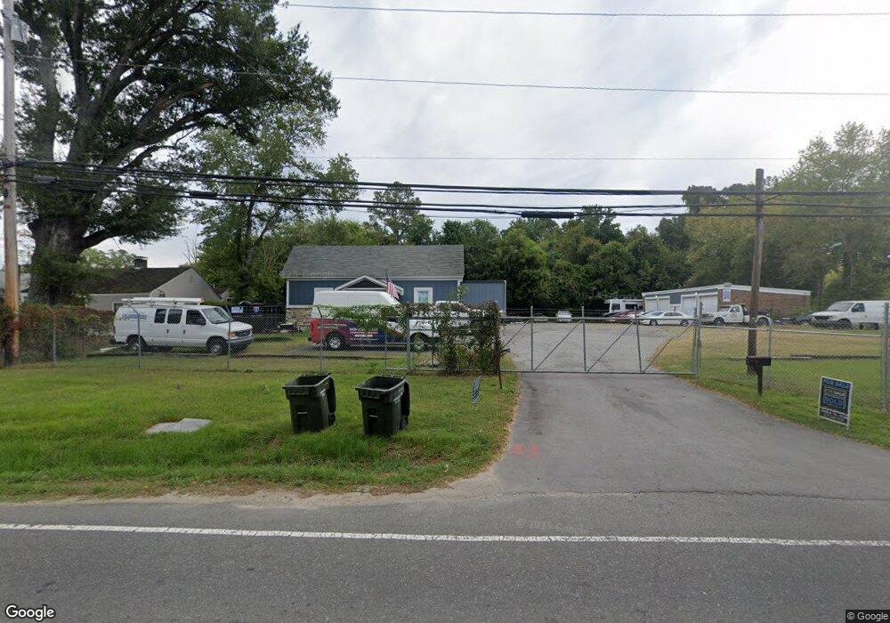
1015 Ellis Rd Durham, NC 27703
Campus Hills NeighborhoodEstimated Value: $387,901
Studio
1
Bath
5,682
Sq Ft
$68/Sq Ft
Est. Value
About This Home
This home is located at 1015 Ellis Rd, Durham, NC 27703 and is currently estimated at $387,901, approximately $68 per square foot. 1015 Ellis Rd is a home located in Durham County with nearby schools including R.N. Harris Elementary School, James E. Shepard Middle School, and Hillside High School.
Ownership History
Date
Name
Owned For
Owner Type
Purchase Details
Closed on
May 19, 2020
Sold by
Basden Joyce A Ferrell and Roberts Maria Ferrell
Bought by
Cdp Oprperty Holdings Llc
Current Estimated Value
Home Financials for this Owner
Home Financials are based on the most recent Mortgage that was taken out on this home.
Original Mortgage
$200,000
Outstanding Balance
$177,228
Interest Rate
3.3%
Mortgage Type
Future Advance Clause Open End Mortgage
Estimated Equity
$210,673
Purchase Details
Closed on
Jun 25, 2014
Sold by
Ferrell Gregory L
Bought by
Ferrell Basden Joyce A and Ferrell Roberts Maria D
Create a Home Valuation Report for This Property
The Home Valuation Report is an in-depth analysis detailing your home's value as well as a comparison with similar homes in the area
Home Values in the Area
Average Home Value in this Area
Purchase History
| Date | Buyer | Sale Price | Title Company |
|---|---|---|---|
| Cdp Oprperty Holdings Llc | $250,000 | Investors Title | |
| Ferrell Basden Joyce A | -- | None Available |
Source: Public Records
Mortgage History
| Date | Status | Borrower | Loan Amount |
|---|---|---|---|
| Open | Cdp Oprperty Holdings Llc | $200,000 |
Source: Public Records
Tax History
| Year | Tax Paid | Tax Assessment Tax Assessment Total Assessment is a certain percentage of the fair market value that is determined by local assessors to be the total taxable value of land and additions on the property. | Land | Improvement |
|---|---|---|---|---|
| 2025 | $4,874 | $491,645 | $180,560 | $311,085 |
| 2024 | $2,864 | $205,336 | $73,800 | $131,536 |
| 2023 | $2,690 | $205,336 | $73,800 | $131,536 |
| 2022 | $2,628 | $205,336 | $73,800 | $131,536 |
| 2021 | $2,688 | $211,016 | $73,800 | $137,216 |
| 2020 | $2,625 | $211,016 | $73,800 | $137,216 |
| 2019 | $2,625 | $211,016 | $73,800 | $137,216 |
| 2018 | $3,213 | $236,894 | $55,125 | $181,769 |
| 2017 | $3,190 | $236,894 | $55,125 | $181,769 |
| 2016 | $3,082 | $236,894 | $55,125 | $181,769 |
| 2015 | $1,970 | $142,281 | $55,125 | $87,156 |
| 2014 | $1,970 | $142,281 | $55,125 | $87,156 |
Source: Public Records
Map
Nearby Homes
- 1202 Ellis Rd
- 1412 Scholar Dr
- 1206 Ellis Rd
- 17 Eddy Trail
- 2020 Collier Dr
- 1905 Edgerton Dr
- 3224 Opal Dr
- 3214 Opal Dr
- 3216 Opal Dr
- 3212 Opal Dr
- 3210 Opal Dr
- 2002 Strickland Oak Way
- 3004 Cypress Lagoon Ct
- 2300 S Alston Ave
- 1905 Capps St
- 1413 Bacon St
- 204 Garden Walk Dr
- 1172 Pate Farm Ln
- 3112 Star Gazing Ln
- 3525 Angier Ave
Your Personal Tour Guide
Ask me questions while you tour the home.