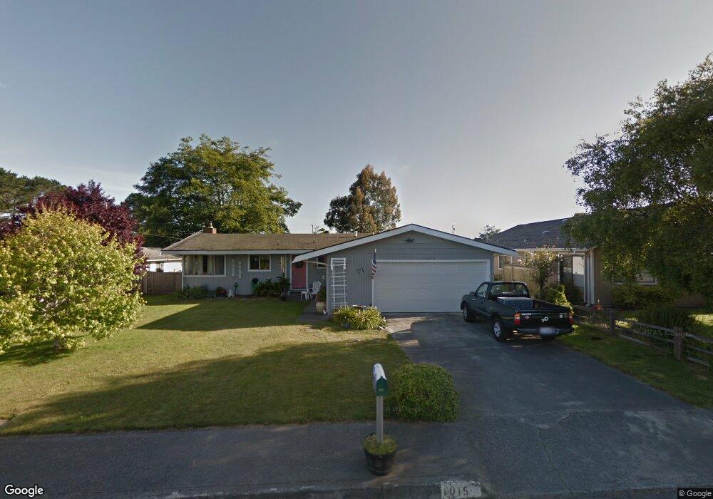
1015 Fritz Rd McKinleyville, CA 95519
Estimated Value: $334,000 - $439,336
--
Bed
--
Bath
--
Sq Ft
0.32
Acres
About This Home
This home is located at 1015 Fritz Rd, McKinleyville, CA 95519 and is currently estimated at $388,084. 1015 Fritz Rd is a home located in Humboldt County with nearby schools including Morris Elementary School, Dow's Prairie Elementary School, and McKinleyville Middle School.
Ownership History
Date
Name
Owned For
Owner Type
Purchase Details
Closed on
Feb 18, 2004
Sold by
Davis Douglas D and Davis Sharon L
Bought by
Turpin David M and Delear Cindy Lee
Current Estimated Value
Home Financials for this Owner
Home Financials are based on the most recent Mortgage that was taken out on this home.
Original Mortgage
$196,000
Outstanding Balance
$86,918
Interest Rate
5.05%
Mortgage Type
Purchase Money Mortgage
Estimated Equity
$301,166
Create a Home Valuation Report for This Property
The Home Valuation Report is an in-depth analysis detailing your home's value as well as a comparison with similar homes in the area
Home Values in the Area
Average Home Value in this Area
Purchase History
| Date | Buyer | Sale Price | Title Company |
|---|---|---|---|
| Turpin David M | $245,000 | First American Title Ins Co |
Source: Public Records
Mortgage History
| Date | Status | Borrower | Loan Amount |
|---|---|---|---|
| Open | Turpin David M | $196,000 | |
| Closed | Turpin David M | $49,000 |
Source: Public Records
Tax History Compared to Growth
Tax History
| Year | Tax Paid | Tax Assessment Tax Assessment Total Assessment is a certain percentage of the fair market value that is determined by local assessors to be the total taxable value of land and additions on the property. | Land | Improvement |
|---|---|---|---|---|
| 2025 | $3,826 | $348,319 | $113,733 | $234,586 |
| 2024 | $3,826 | $341,490 | $111,503 | $229,987 |
| 2023 | $3,743 | $334,795 | $109,317 | $225,478 |
| 2022 | $3,760 | $328,231 | $107,174 | $221,057 |
| 2021 | $3,582 | $321,796 | $105,073 | $216,723 |
| 2020 | $3,502 | $318,497 | $103,996 | $214,501 |
| 2019 | $3,477 | $312,253 | $101,957 | $210,296 |
| 2018 | $3,342 | $306,131 | $99,958 | $206,173 |
| 2017 | $3,254 | $300,130 | $97,999 | $202,131 |
| 2016 | $3,194 | $294,246 | $96,078 | $198,168 |
| 2015 | $3,130 | $289,827 | $94,635 | $195,192 |
| 2014 | $3,081 | $284,151 | $92,782 | $191,369 |
Source: Public Records
Map
Nearby Homes
- 2070 Thiel Ave
- 2099 Silkwood St
- 2150 Thiel Ave
- 1181 Chelsea Way
- 1865 Ashdown Ave
- 1658/1656 Ascent Place
- 000 Anderson Ave
- 2257 Walnut Ave
- 1472 Gavin (Lot G2) Ln
- 835 Sweet Pea Ln
- 1090 Murray Rd
- 2580 Central Ave
- 1320 Brady Ct
- 2822 Sandpointe Dr
- 1716 van Eaton Ave
- 1982 S Gwin Rd
- 2910 Springer Dr
- 2911 Sandpointe Dr
- 2937 Springer Dr
- 2951 Sandpointe Dr