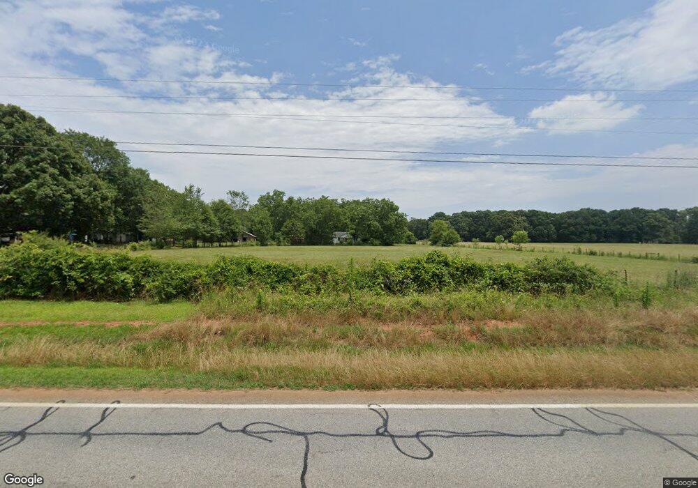
1015 Highway 11 S Social Circle, GA 30025
Estimated Value: $212,798 - $328,000
--
Bed
1
Bath
1,152
Sq Ft
$228/Sq Ft
Est. Value
About This Home
This home is located at 1015 Highway 11 S, Social Circle, GA 30025 and is currently estimated at $262,700, approximately $228 per square foot. 1015 Highway 11 S is a home located in Newton County with nearby schools including Mansfield Elementary School, Indian Creek Middle School, and Eastside High School.
Ownership History
Date
Name
Owned For
Owner Type
Purchase Details
Closed on
Oct 27, 2023
Sold by
Colquitt Margaret Elaine Trust
Bought by
Compton Brandon Skylar
Current Estimated Value
Home Financials for this Owner
Home Financials are based on the most recent Mortgage that was taken out on this home.
Original Mortgage
$237,500
Outstanding Balance
$232,738
Interest Rate
7.49%
Mortgage Type
New Conventional
Estimated Equity
$29,962
Purchase Details
Closed on
Sep 28, 2010
Sold by
Colquitt James B and Colquitt Margaret E
Bought by
Colquitt J B Jr & M Living Tru
Purchase Details
Closed on
Mar 31, 2004
Sold by
Stewart Steven R
Bought by
Colquitt James B
Home Financials for this Owner
Home Financials are based on the most recent Mortgage that was taken out on this home.
Original Mortgage
$99,990
Interest Rate
5.35%
Mortgage Type
New Conventional
Create a Home Valuation Report for This Property
The Home Valuation Report is an in-depth analysis detailing your home's value as well as a comparison with similar homes in the area
Home Values in the Area
Average Home Value in this Area
Purchase History
| Date | Buyer | Sale Price | Title Company |
|---|---|---|---|
| Compton Brandon Skylar | $250,000 | -- | |
| Colquitt J B Jr & M Living Tru | -- | -- | |
| Colquitt James B | -- | -- | |
| Colquitt James B | $110,000 | -- |
Source: Public Records
Mortgage History
| Date | Status | Borrower | Loan Amount |
|---|---|---|---|
| Open | Compton Brandon Skylar | $237,500 | |
| Previous Owner | Colquitt James B | $99,990 |
Source: Public Records
Tax History Compared to Growth
Tax History
| Year | Tax Paid | Tax Assessment Tax Assessment Total Assessment is a certain percentage of the fair market value that is determined by local assessors to be the total taxable value of land and additions on the property. | Land | Improvement |
|---|---|---|---|---|
| 2025 | $2,007 | $85,960 | $22,360 | $63,600 |
| 2024 | $1,938 | $80,360 | $22,360 | $58,000 |
| 2023 | $2,057 | $75,800 | $22,360 | $53,440 |
| 2022 | $1,737 | $64,000 | $22,360 | $41,640 |
| 2021 | $1,104 | $36,400 | $22,360 | $14,040 |
| 2020 | $1,183 | $35,200 | $22,360 | $12,840 |
| 2019 | $1,165 | $34,160 | $22,360 | $11,800 |
| 2018 | $1,156 | $33,680 | $22,360 | $11,320 |
| 2017 | $1,134 | $33,040 | $21,680 | $11,360 |
| 2016 | $938 | $27,320 | $15,960 | $11,360 |
| 2015 | $921 | $26,840 | $16,000 | $10,840 |
| 2014 | $918 | $26,840 | $0 | $0 |
Source: Public Records
Map
Nearby Homes
- 788 S Hwy 11
- 1530 Highway 11 S
- 10 Nicklaus Cir
- 180 Cooper Rd
- 2071 Highway 142 E
- 1966 Georgia 142
- 147 Cobb Rd
- 1966 Highway 142 E
- 1500 Pine Forest Rd
- 995 Hodges Cir
- 1581 Hodges Cir
- 175 Ewing Dr
- 220 Nicklaus Cir
- 225 Ewing Dr
- 45 Fiddle Creek
- 145 Fiddle Creek Unit 12
- 12956 Us Highway 278
- 95 Dixie Trail
- 1187 Dixie Rd
- 925 Cooper Rd
- 991 Highway 11 S
- 989 State Highway 11
- 951 Hwy 11 S
- 1121 Highway 11 S
- 730 Adams Cir
- 1133 Highway 11 S
- 784 Adams Cir
- 880 S Highway 11 S
- 1185 Highway 11 S
- 635 Adams Cir
- 741 Adams Cir
- 480 Adams Rd
- 812 Adams Cir
- 763 Adams Cir Unit 2
- 15 Willow Dr
- 677 Adams Cir
- 803 Highway 11 S
- 115 Willow Woods Rd
- 866 Adams Cir
- 10 Willow Dr
