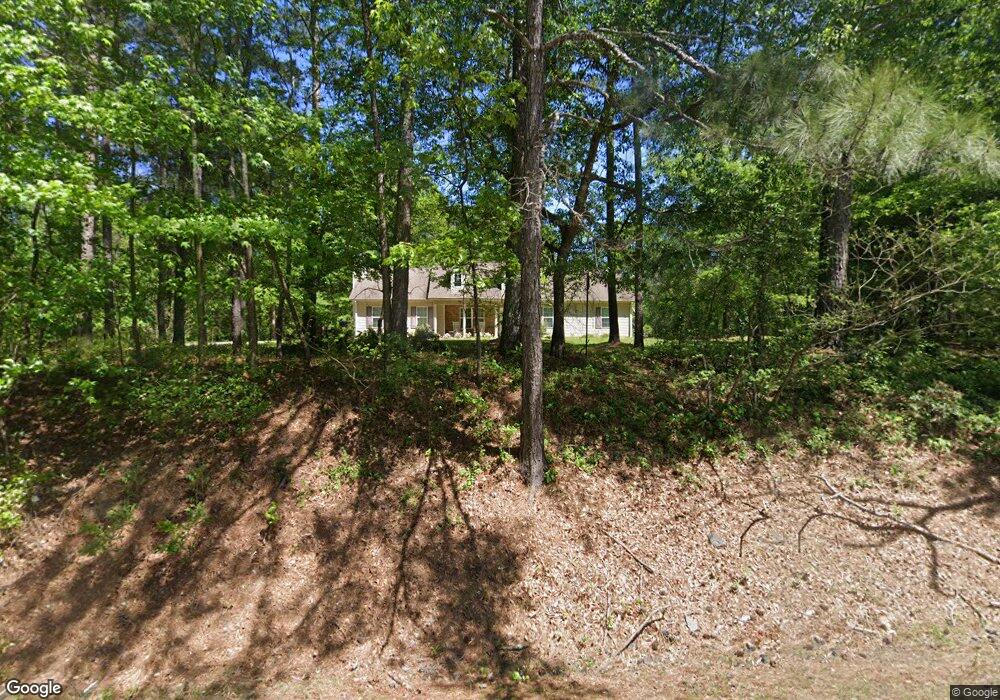
1015 Highway 36 E Barnesville, GA 30204
Estimated Value: $322,719 - $427,000
3
Beds
2
Baths
1,924
Sq Ft
$198/Sq Ft
Est. Value
About This Home
This home is located at 1015 Highway 36 E, Barnesville, GA 30204 and is currently estimated at $381,680, approximately $198 per square foot. 1015 Highway 36 E is a home located in Lamar County with nearby schools including Lamar County Primary School, Lamar County Elementary School, and Lamar County Middle School.
Ownership History
Date
Name
Owned For
Owner Type
Purchase Details
Closed on
Sep 7, 2007
Sold by
Taylor Samuel L
Bought by
Willis Yong Cha
Current Estimated Value
Home Financials for this Owner
Home Financials are based on the most recent Mortgage that was taken out on this home.
Original Mortgage
$70,000
Interest Rate
6.23%
Mortgage Type
New Conventional
Purchase Details
Closed on
Apr 15, 2005
Sold by
Cherry Douglas
Bought by
Taylor Samuel L
Home Financials for this Owner
Home Financials are based on the most recent Mortgage that was taken out on this home.
Original Mortgage
$31,672
Interest Rate
5.74%
Mortgage Type
New Conventional
Purchase Details
Closed on
Oct 5, 2004
Sold by
Hammett Joyce P
Bought by
Cherry Douglas
Create a Home Valuation Report for This Property
The Home Valuation Report is an in-depth analysis detailing your home's value as well as a comparison with similar homes in the area
Purchase History
| Date | Buyer | Sale Price | Title Company |
|---|---|---|---|
| Willis Yong Cha | $139,000 | -- | |
| Taylor Samuel L | -- | -- | |
| Cherry Douglas | $23,000 | -- |
Source: Public Records
Mortgage History
| Date | Status | Borrower | Loan Amount |
|---|---|---|---|
| Closed | Willis Yong Cha | $70,000 | |
| Previous Owner | Taylor Samuel L | $31,672 |
Source: Public Records
Tax History Compared to Growth
Tax History
| Year | Tax Paid | Tax Assessment Tax Assessment Total Assessment is a certain percentage of the fair market value that is determined by local assessors to be the total taxable value of land and additions on the property. | Land | Improvement |
|---|---|---|---|---|
| 2025 | $2,425 | $110,746 | $8,804 | $101,942 |
| 2024 | $2,238 | $89,350 | $8,804 | $80,546 |
| 2023 | $2,389 | $88,418 | $8,804 | $79,614 |
| 2022 | $2,195 | $81,403 | $5,563 | $75,840 |
| 2021 | $1,817 | $62,325 | $4,131 | $58,194 |
| 2020 | $1,587 | $52,038 | $4,131 | $47,907 |
| 2019 | $1,591 | $52,038 | $4,131 | $47,907 |
| 2018 | $1,528 | $52,038 | $4,131 | $47,907 |
| 2017 | $1,520 | $52,038 | $4,131 | $47,907 |
| 2016 | $1,521 | $52,038 | $4,131 | $47,907 |
| 2015 | $1,515 | $52,038 | $4,131 | $47,907 |
| 2014 | $1,469 | $52,038 | $4,131 | $47,907 |
| 2013 | -- | $55,906 | $8,000 | $47,906 |
Source: Public Records
Map
Nearby Homes
- LOT 112 Cole Forest Blvd
- 218 City Pond Rd
- 206 Cole Forest Blvd
- 277 Cole Forest Blvd
- 603 Silver Dollar Rd
- V L Silver Dollar Rd
- 654 Liberty Hill Rd
- 787 Silver Dollar Rd
- 160 Savannah Way
- 118 Charleston Ln
- 117 Charleston Ln
- 0 Savannah Way Unit 10672993
- 0 Silver Dollar Rd Unit 10552561
- 0 Main St Unit 10586668
- 0 Main St Unit 10585681
- LOT 2 Mathews Rd
- LOT 1 Mathews Rd
- 329 Brook Rd
- 168 Mathews Rd
- 166 Mathews Rd
- 1007 Highway 36 E
- 1029 Highway 36 E
- 1012 Highway 36 E
- 122 City Pond Rd
- 1008 Highway 36 E
- 0 Highway 36 E Unit 8041538
- 0 Highway 36 E Unit 20029393
- 0 Highway 36 E Unit 7468258
- 0 Highway 36 E Unit 10391773
- 0 Highway 36 E Unit 7363956
- 0 Highway 36 E Unit 10276683
- 0 Highway 36 E Unit 10261785
- 0 Highway 36 E Unit 20014184
- 0 Highway 36 E Unit 9037728
- 0 Highway 36 E Unit 8993152
- 0 Highway 36 E Unit 8979820
- 0 Highway 36 E Unit 8946943
- 0 Highway 36 E Unit 8937346
- 114 City Pond Rd
- 1030 Highway 36 E
