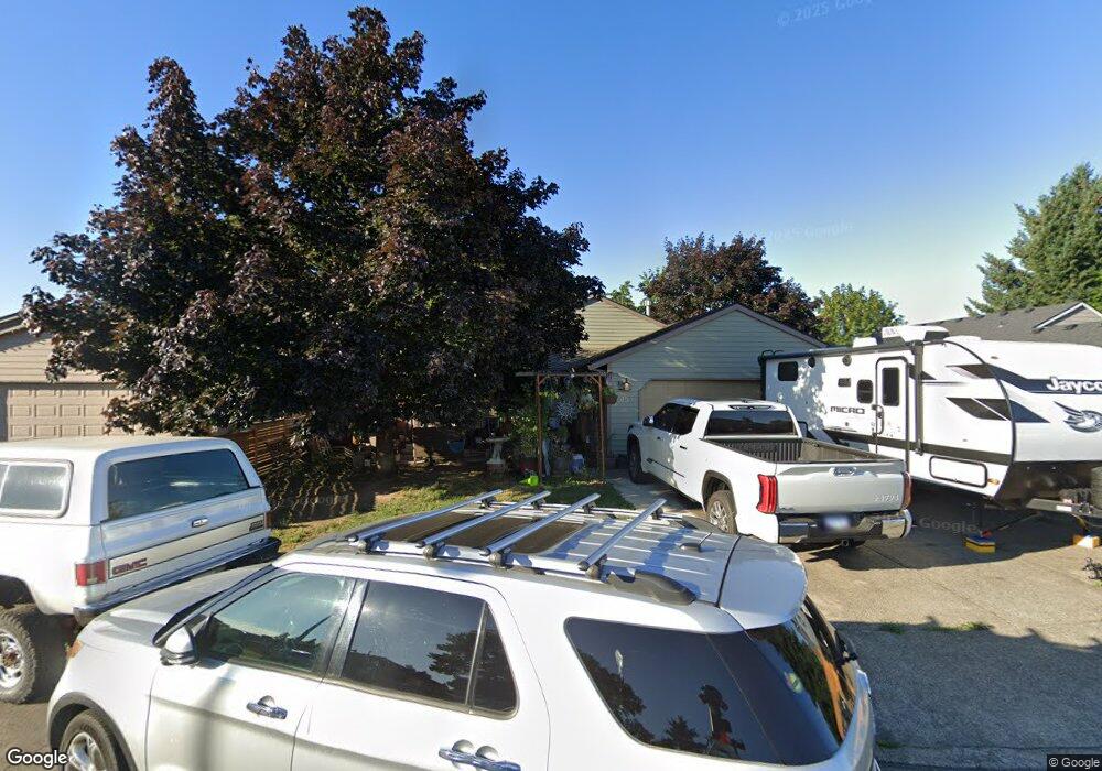
1015 Kodiak Ct Cornelius, OR 97113
Estimated Value: $401,000 - $464,000
3
Beds
2
Baths
1,054
Sq Ft
$409/Sq Ft
Est. Value
About This Home
This home is located at 1015 Kodiak Ct, Cornelius, OR 97113 and is currently estimated at $431,252, approximately $409 per square foot. 1015 Kodiak Ct is a home located in Washington County with nearby schools including Echo Shaw Elementary School, Neil Armstrong Middle School, and Tom McCall Upper Elementary School.
Ownership History
Date
Name
Owned For
Owner Type
Purchase Details
Closed on
Nov 29, 2004
Sold by
Russell Martin W and Russell Cheryl A
Bought by
Alfaro Jose C and Alfaro Rosie D
Current Estimated Value
Home Financials for this Owner
Home Financials are based on the most recent Mortgage that was taken out on this home.
Original Mortgage
$129,600
Outstanding Balance
$71,266
Interest Rate
7.45%
Mortgage Type
Unknown
Estimated Equity
$359,986
Purchase Details
Closed on
Nov 19, 1998
Sold by
Tenly Company Llc
Bought by
Russell Martin W and Russell Cheryl A
Home Financials for this Owner
Home Financials are based on the most recent Mortgage that was taken out on this home.
Original Mortgage
$83,850
Interest Rate
6.84%
Purchase Details
Closed on
Feb 13, 1997
Sold by
Tenly Company Llc
Bought by
Ashton Tenly Company Llc
Create a Home Valuation Report for This Property
The Home Valuation Report is an in-depth analysis detailing your home's value as well as a comparison with similar homes in the area
Home Values in the Area
Average Home Value in this Area
Purchase History
| Date | Buyer | Sale Price | Title Company |
|---|---|---|---|
| Alfaro Jose C | $162,000 | First American | |
| Russell Martin W | $72,250 | Chicago Title Insurance Co | |
| Ashton Tenly Company Llc | -- | First American Title Ins Co |
Source: Public Records
Mortgage History
| Date | Status | Borrower | Loan Amount |
|---|---|---|---|
| Open | Alfaro Jose C | $129,600 | |
| Previous Owner | Russell Martin W | $83,850 | |
| Closed | Alfaro Jose C | $32,400 |
Source: Public Records
Tax History Compared to Growth
Tax History
| Year | Tax Paid | Tax Assessment Tax Assessment Total Assessment is a certain percentage of the fair market value that is determined by local assessors to be the total taxable value of land and additions on the property. | Land | Improvement |
|---|---|---|---|---|
| 2026 | $3,408 | $196,160 | -- | -- |
| 2025 | $3,408 | $190,450 | -- | -- |
| 2024 | $3,112 | $184,910 | -- | -- |
| 2023 | $3,112 | $179,530 | $0 | $0 |
| 2022 | $2,758 | $179,530 | $0 | $0 |
| 2021 | $2,725 | $169,240 | $0 | $0 |
| 2020 | $2,715 | $164,320 | $0 | $0 |
| 2019 | $2,656 | $159,540 | $0 | $0 |
| 2018 | $2,574 | $154,900 | $0 | $0 |
| 2017 | $2,494 | $150,390 | $0 | $0 |
| 2016 | $2,424 | $146,010 | $0 | $0 |
| 2015 | $2,281 | $141,760 | $0 | $0 |
| 2014 | $2,202 | $137,640 | $0 | $0 |
Source: Public Records
Map
Nearby Homes
- 1214 S 11th Place
- 1126 S Jasper St
- 1100 S Ivy St
- 1134 S Ginger St
- 332 S Tarrybrook Dr
- 253 S Tarrybrook Cir
- 122 S 12th Ave
- 1509 Centennial Cir
- 4403 Wagon Wheel Cir
- 1959 S Heather St
- 2031 S Jasper Dr
- 302 S 19th Ave
- 1701 S Alpine St
- 1504 Frontier Cir
- 4303 Settlers Loop
- 1402 Pioneer Way
- 2074 S Ivy St
- 1506 Pioneer Cir
- 847 S 23rd Ave
- 1686 N Barlow St
- 1003 Kodiak Ct
- 1029 Kodiak Ct
- 1014 S Flax Plant Rd
- 1036 S Flax Plant Rd
- 1002 S Flax Plant Rd
- 1051 Kodiak Ct
- 1058 S Flax Plant Rd
- 1004 Kodiak Ct
- 1056 Kodiak Ct
- 1022 Kodiak Ct
- 1038 Kodiak Ct
- 1007 S 10th See New List #
- 1010 S Magnolia St
- 1203 S 10th Terrace
- 1018 S Magnolia St
- 1022 S Magnolia St
- 1016 S Magnolia St
- 906 S 10th Ave
- 1028 S Magnolia St
- 1205 S 10th Terrace