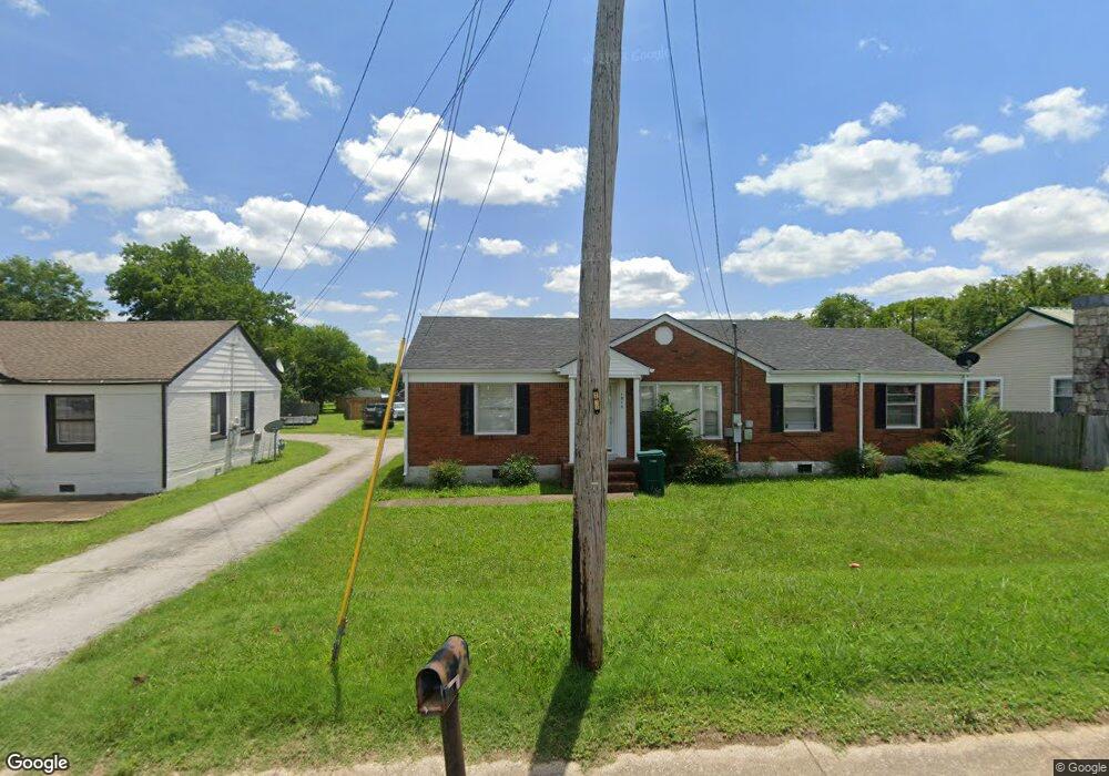
1015 Mill St Pulaski, TN 38478
Estimated Value: $172,000 - $219,000
--
Bed
1
Bath
1,100
Sq Ft
$175/Sq Ft
Est. Value
About This Home
This home is located at 1015 Mill St, Pulaski, TN 38478 and is currently estimated at $192,043, approximately $174 per square foot. 1015 Mill St is a home located in Giles County with nearby schools including Pulaski Elementary School, Southside Elementary School, and Bridgeforth Middle School.
Ownership History
Date
Name
Owned For
Owner Type
Purchase Details
Closed on
Sep 16, 2010
Sold by
Conner Angela Gayle
Bought by
Wilburn Tracy D
Current Estimated Value
Purchase Details
Closed on
Jun 24, 2003
Sold by
Wells Fargo Bank
Bought by
Wilburn Brenda C
Purchase Details
Closed on
Dec 19, 2002
Bought by
Wells Fargo Bank Mn %Emc Mortgage Corp
Purchase Details
Closed on
Apr 6, 1999
Sold by
Bass Neal
Bought by
Holt Frank and Anna Holt H
Home Financials for this Owner
Home Financials are based on the most recent Mortgage that was taken out on this home.
Original Mortgage
$54,000
Interest Rate
7.08%
Purchase Details
Closed on
Sep 13, 1993
Bought by
Bass Neal and Bass Donna
Purchase Details
Closed on
Sep 13, 1978
Bought by
Sandridge Cecil Wayne
Create a Home Valuation Report for This Property
The Home Valuation Report is an in-depth analysis detailing your home's value as well as a comparison with similar homes in the area
Home Values in the Area
Average Home Value in this Area
Purchase History
| Date | Buyer | Sale Price | Title Company |
|---|---|---|---|
| Wilburn Tracy D | -- | -- | |
| Wilburn Brenda C | $34,000 | -- | |
| Wells Fargo Bank Mn %Emc Mortgage Corp | $46,800 | -- | |
| Holt Frank | $53,529 | -- | |
| Bass Neal | $37,500 | -- | |
| Sandridge Cecil Wayne | -- | -- |
Source: Public Records
Mortgage History
| Date | Status | Borrower | Loan Amount |
|---|---|---|---|
| Previous Owner | Sandridge Cecil Wayne | $54,000 |
Source: Public Records
Tax History Compared to Growth
Tax History
| Year | Tax Paid | Tax Assessment Tax Assessment Total Assessment is a certain percentage of the fair market value that is determined by local assessors to be the total taxable value of land and additions on the property. | Land | Improvement |
|---|---|---|---|---|
| 2025 | $881 | $36,600 | $0 | $0 |
| 2024 | $881 | $36,600 | $8,400 | $28,200 |
| 2023 | $881 | $36,600 | $8,400 | $28,200 |
| 2022 | $881 | $36,600 | $8,400 | $28,200 |
| 2021 | $670 | $19,775 | $5,225 | $14,550 |
| 2020 | $670 | $19,775 | $5,225 | $14,550 |
| 2019 | $559 | $19,775 | $5,225 | $14,550 |
| 2018 | $670 | $19,775 | $5,225 | $14,550 |
| 2017 | $670 | $19,775 | $5,225 | $14,550 |
| 2016 | $566 | $16,000 | $1,750 | $14,250 |
| 2015 | $535 | $16,000 | $1,750 | $14,250 |
| 2014 | $534 | $15,994 | $0 | $0 |
Source: Public Records
Map
Nearby Homes
- 1021 Mill St
- 1200 Mill St
- 803 Nichols St
- 804 Morgan St
- 910 Abernathy Dr
- 1202 Parker Dr
- 1205 Beverly Dr
- 1410 Mill St
- 929 Kathleen Dr
- 1041 Jackson Dr
- 1549 Mill St
- 850 Brenda Dr
- 11 Highway 11
- 1531 Paulk Ln
- 1716 Keller Ave
- 1336 Charlotte Ct
- 1822 Parkview Terrace
- 1817 Crestview Dr
- 1818 Crestview Dr
- 125 Chicken Creek Rd