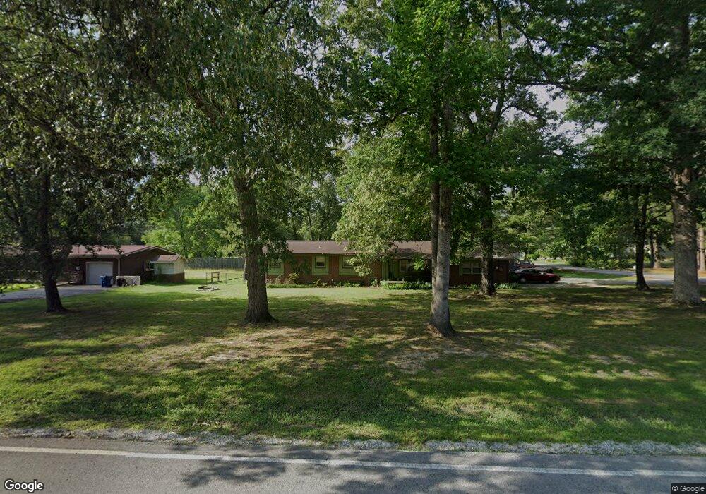
1015 Royal Trail Manchester, TN 37355
Estimated Value: $229,000 - $309,000
--
Bed
2
Baths
1,944
Sq Ft
$141/Sq Ft
Est. Value
About This Home
This home is located at 1015 Royal Trail, Manchester, TN 37355 and is currently estimated at $274,601, approximately $141 per square foot. 1015 Royal Trail is a home located in Coffee County with nearby schools including Westwood Middle School and Temple Baptist Christian School.
Ownership History
Date
Name
Owned For
Owner Type
Purchase Details
Closed on
May 30, 2024
Sold by
Thompson Gina
Bought by
Dunlap Billy
Current Estimated Value
Home Financials for this Owner
Home Financials are based on the most recent Mortgage that was taken out on this home.
Original Mortgage
$124,157
Outstanding Balance
$122,597
Interest Rate
7.1%
Mortgage Type
Construction
Estimated Equity
$152,004
Purchase Details
Closed on
Apr 7, 2009
Sold by
Dunn Linda W
Bought by
Thompson Gina
Purchase Details
Closed on
Aug 5, 1987
Purchase Details
Closed on
Jan 1, 1985
Bought by
Butner David T and Butner Linda
Create a Home Valuation Report for This Property
The Home Valuation Report is an in-depth analysis detailing your home's value as well as a comparison with similar homes in the area
Home Values in the Area
Average Home Value in this Area
Purchase History
| Date | Buyer | Sale Price | Title Company |
|---|---|---|---|
| Dunlap Billy | $225,000 | Gateway Title Services | |
| Dunlap Billy | $225,000 | Gateway Title Services | |
| Thompson Gina | $105,900 | -- | |
| -- | $65,900 | -- | |
| Butner David T | $54,000 | -- |
Source: Public Records
Mortgage History
| Date | Status | Borrower | Loan Amount |
|---|---|---|---|
| Open | Dunlap Billy | $124,157 | |
| Closed | Dunlap Billy | $124,157 |
Source: Public Records
Tax History Compared to Growth
Tax History
| Year | Tax Paid | Tax Assessment Tax Assessment Total Assessment is a certain percentage of the fair market value that is determined by local assessors to be the total taxable value of land and additions on the property. | Land | Improvement |
|---|---|---|---|---|
| 2024 | $1,372 | $32,550 | $5,000 | $27,550 |
| 2023 | $1,372 | $32,550 | $0 | $0 |
| 2022 | $1,181 | $32,550 | $5,000 | $27,550 |
| 2021 | $1,167 | $25,475 | $3,750 | $21,725 |
| 2020 | $1,167 | $25,475 | $3,750 | $21,725 |
| 2019 | $1,167 | $25,475 | $3,750 | $21,725 |
| 2018 | $1,167 | $25,475 | $3,750 | $21,725 |
| 2017 | $1,259 | $24,000 | $3,750 | $20,250 |
| 2016 | $1,259 | $24,000 | $3,750 | $20,250 |
| 2015 | $1,259 | $24,000 | $3,750 | $20,250 |
| 2014 | $1,259 | $24,007 | $0 | $0 |
Source: Public Records
Map
Nearby Homes
- 1203 Edgewood Dr
- 1306 Mcmahan St
- 112 Reynard St
- 1003 Kennedy Dr
- 905 Royal Trail
- 142 Heritage Cir
- 422 Heritage Cir
- 355 W Doak Rd
- 121 Regalwood Dr
- 195 Hamilton Ct
- 23 Regalwood Dr
- 0 Forrestwood Dr
- 1841 Hills Chapel Rd
- 1550 S Spring St
- Lot 51 Interstate
- 1619 Hills Chapel Rd
- 1212 Woodcrest Dr
- 12 Fox Creek Ct
- 1221 Hillcrest Dr
- 310 Indian Springs Cir
- 1013 Royal Trail
- 31 Reynard St
- 69 Reynard St
- 89 Reynard St
- 56 Reynard St
- 40 Reynard St
- 76 Reynard St
- 1206 Shady Ln
- 1204 Shady Ln
- 1014 Royal Trail
- 1012 Royal Trail
- 1803 4th Ave
- 1011 Royal Trail
- 1009 Royal Trail
- 1103 Royal Trail
- 1202 Shady Ln
- 1102 Royal Trail
- 1010 Royal Trail
- 1801 4th Ave
- 1200 Shady Ln