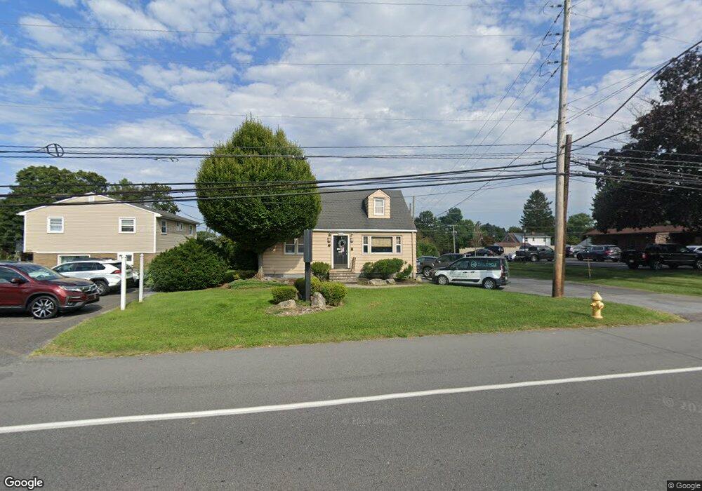
1015 S Cedar Crest Blvd Allentown, PA 18103
Southside NeighborhoodEstimated Value: $352,327
--
Bed
1
Bath
1,152
Sq Ft
$306/Sq Ft
Est. Value
About This Home
This home is located at 1015 S Cedar Crest Blvd, Allentown, PA 18103 and is currently estimated at $352,327, approximately $305 per square foot. 1015 S Cedar Crest Blvd is a home located in Lehigh County with nearby schools including Donahoe Elementary School, Dumbarton Elementary School, and Salisbury Elementary School.
Ownership History
Date
Name
Owned For
Owner Type
Purchase Details
Closed on
Jul 14, 2004
Sold by
Pino Anthony P and Pino Dorrit A
Bought by
Landis Daniel R and Landis Daniel R
Current Estimated Value
Purchase Details
Closed on
Jan 2, 1986
Sold by
Kratz Kenneth and Kratz Jerry D
Bought by
Pino Anthony P and Pino Dorrit A
Purchase Details
Closed on
Apr 1, 1977
Bought by
Kratz Kenneth and Kratz Jerry D
Create a Home Valuation Report for This Property
The Home Valuation Report is an in-depth analysis detailing your home's value as well as a comparison with similar homes in the area
Home Values in the Area
Average Home Value in this Area
Purchase History
| Date | Buyer | Sale Price | Title Company |
|---|---|---|---|
| Landis Daniel R | $160,000 | -- | |
| Pino Anthony P | $70,000 | -- | |
| Kratz Kenneth | $36,900 | -- |
Source: Public Records
Tax History Compared to Growth
Tax History
| Year | Tax Paid | Tax Assessment Tax Assessment Total Assessment is a certain percentage of the fair market value that is determined by local assessors to be the total taxable value of land and additions on the property. | Land | Improvement |
|---|---|---|---|---|
| 2025 | $5,357 | $170,100 | $56,300 | $113,800 |
| 2024 | $5,118 | $170,100 | $56,300 | $113,800 |
| 2023 | $4,855 | $170,100 | $56,300 | $113,800 |
| 2022 | $4,733 | $170,100 | $113,800 | $56,300 |
| 2021 | $4,543 | $170,100 | $56,300 | $113,800 |
| 2020 | $4,367 | $170,100 | $56,300 | $113,800 |
| 2019 | $4,208 | $170,100 | $56,300 | $113,800 |
| 2018 | $4,132 | $170,100 | $56,300 | $113,800 |
| 2017 | $4,027 | $170,100 | $56,300 | $113,800 |
| 2016 | -- | $170,100 | $56,300 | $113,800 |
| 2015 | -- | $170,100 | $56,300 | $113,800 |
| 2014 | -- | $170,100 | $56,300 | $113,800 |
Source: Public Records
Map
Nearby Homes
- 655 Americus Dr
- 1122 Bellair Dr
- 1009 Debbie Ln
- 3250 Hamilton Blvd
- 1141 Glick Ave
- 1164 Clearwood Dr
- 2809 Green Acres Dr
- 2734 Andrea Dr
- 3275 W Fairview St
- 2895 Hamilton Blvd Unit 104
- 303 College Dr
- 419 S Ott St
- 2823 Hamilton Blvd
- 81 S Cedar Crest Blvd
- 3123 Sussex Rd
- 2270 Bishop Rd
- 19 Spring Wood Dr
- 403 S 24th St
- 2317-2319 Elm St
- 2411 Union St
- 3156 Lindberg Ave
- 1005 S Cedar Crest Blvd
- 1005 S Cedar Crest Blvd Unit 2nd floor
- 3150 Lindberg Ave
- 3186 Lindberg Ave
- 3170 Lindberg Ave
- 1036 S Cedar Crest Blvd
- 3144 Lindberg Ave
- 1022 Americus Ave
- 699 S Cedar Crest Blvd
- 1008 S Cedar Crest Blvd
- 1040 S Cedar Crest Blvd
- 1034 S Cedar Crest Blvd Unit 1040
- 3138 Lindberg Ave
- 1032 Americus Ave
- 3223 Byrd Ave
- 3161 Club Dr
- 3222 Byrd Ave
- 3146 Club Dr
- 3224 Lindberg Ave