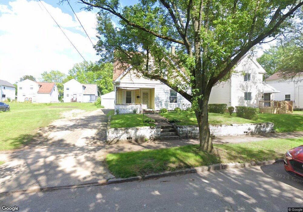
1015 Snyder St Akron, OH 44307
Sherbondy Hill NeighborhoodEstimated Value: $65,000 - $75,000
3
Beds
1
Bath
1,190
Sq Ft
$58/Sq Ft
Est. Value
About This Home
This home is located at 1015 Snyder St, Akron, OH 44307 and is currently estimated at $68,828, approximately $57 per square foot. 1015 Snyder St is a home located in Summit County with nearby schools including St. Bernard-St. Mary Elementary School.
Ownership History
Date
Name
Owned For
Owner Type
Purchase Details
Closed on
Jun 27, 2002
Sold by
Mcclain Audrey Robinson and Robinson Audrey
Bought by
Williams Charles C
Current Estimated Value
Home Financials for this Owner
Home Financials are based on the most recent Mortgage that was taken out on this home.
Original Mortgage
$43,320
Outstanding Balance
$18,624
Interest Rate
6.91%
Mortgage Type
FHA
Estimated Equity
$50,204
Create a Home Valuation Report for This Property
The Home Valuation Report is an in-depth analysis detailing your home's value as well as a comparison with similar homes in the area
Home Values in the Area
Average Home Value in this Area
Purchase History
| Date | Buyer | Sale Price | Title Company |
|---|---|---|---|
| Williams Charles C | $44,000 | Midland Commerce Group |
Source: Public Records
Mortgage History
| Date | Status | Borrower | Loan Amount |
|---|---|---|---|
| Open | Williams Charles C | $43,320 |
Source: Public Records
Tax History Compared to Growth
Tax History
| Year | Tax Paid | Tax Assessment Tax Assessment Total Assessment is a certain percentage of the fair market value that is determined by local assessors to be the total taxable value of land and additions on the property. | Land | Improvement |
|---|---|---|---|---|
| 2025 | $764 | $13,094 | $3,374 | $9,720 |
| 2024 | $764 | $13,094 | $3,374 | $9,720 |
| 2023 | $764 | $13,094 | $3,374 | $9,720 |
| 2022 | $647 | $8,495 | $1,985 | $6,510 |
| 2021 | $648 | $8,495 | $1,985 | $6,510 |
| 2020 | $639 | $8,500 | $1,990 | $6,510 |
| 2019 | $667 | $8,110 | $2,730 | $5,380 |
| 2018 | $659 | $8,110 | $2,730 | $5,380 |
| 2017 | $675 | $8,110 | $2,730 | $5,380 |
| 2016 | $676 | $8,220 | $2,730 | $5,490 |
| 2015 | $675 | $8,220 | $2,730 | $5,490 |
| 2014 | $671 | $8,220 | $2,730 | $5,490 |
| 2013 | $710 | $8,960 | $2,730 | $6,230 |
Source: Public Records
Map
Nearby Homes
- 1063 Raymond St
- 949 Raymond St
- 364 Campbell St
- 1001 Celina Ave
- 1132 Bristol Terrace
- 834 Kenyon St
- 817 Raymond St
- 677 Vernon Odom Blvd
- 721 Vernon Odom Blvd
- 963 Penn Ave
- 1174 La Croix Ave
- 737 Vernon Odom Blvd
- 794 Ruth Ave
- 810 Amherst St
- 849 Amherst St
- 639 Bellevue Ave
- 738 Longview Ave
- 151 Russell Ave
- 776 Krause Ct
- 985 Diana Ave
- 1021 Snyder St
- 1003 Snyder St
- 1025 Snyder St
- 1014 Haynes St
- 1010 Haynes St
- 1018 Haynes St
- 1012 Snyder St
- 1026 Haynes St
- 1006 Haynes St
- 999 Snyder St
- 1016 Snyder St
- 1020 Snyder St
- 1000 Haynes St
- 1026 Snyder St
- 1006 Snyder St
- 1030 Snyder St
- 1002 Snyder St
- 995 Snyder St
- 455 W Thornton St
- 445 W Thornton St