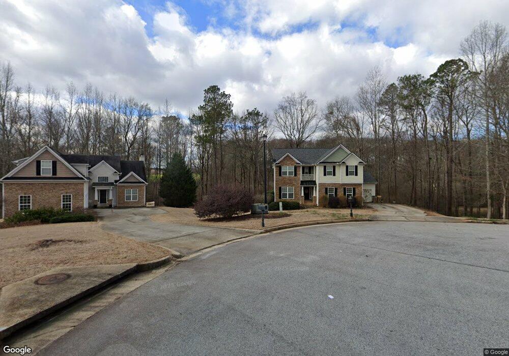
1015 Vinings Ln Winder, GA 30680
Estimated Value: $424,449 - $516,000
--
Bed
3
Baths
2,628
Sq Ft
$180/Sq Ft
Est. Value
About This Home
This home is located at 1015 Vinings Ln, Winder, GA 30680 and is currently estimated at $472,112, approximately $179 per square foot. 1015 Vinings Ln is a home located in Barrow County with nearby schools including Bethlehem Elementary School, Haymon-Morris Middle School, and Apalachee High School.
Ownership History
Date
Name
Owned For
Owner Type
Purchase Details
Closed on
Aug 23, 2006
Sold by
Battle & Davis Builders Llc
Bought by
Frank Battle Homes Llc
Current Estimated Value
Purchase Details
Closed on
Jan 31, 2005
Sold by
Frank Battle Builder Inc
Bought by
Battle & Davis Builders Llc
Purchase Details
Closed on
Mar 22, 2004
Sold by
Battle Properties Inc
Bought by
Frank Battle Builder Inc
Purchase Details
Closed on
Jan 23, 2003
Bought by
Battle Properties Inc
Create a Home Valuation Report for This Property
The Home Valuation Report is an in-depth analysis detailing your home's value as well as a comparison with similar homes in the area
Home Values in the Area
Average Home Value in this Area
Purchase History
| Date | Buyer | Sale Price | Title Company |
|---|---|---|---|
| Frank Battle Homes Llc | -- | -- | |
| Battle & Davis Builders Llc | -- | -- | |
| Frank Battle Builder Inc | $41,000 | -- | |
| Battle Properties Inc | -- | -- |
Source: Public Records
Tax History Compared to Growth
Tax History
| Year | Tax Paid | Tax Assessment Tax Assessment Total Assessment is a certain percentage of the fair market value that is determined by local assessors to be the total taxable value of land and additions on the property. | Land | Improvement |
|---|---|---|---|---|
| 2024 | $3,412 | $135,796 | $17,200 | $118,596 |
| 2023 | $3,422 | $136,796 | $17,200 | $119,596 |
| 2022 | $3,329 | $114,357 | $17,200 | $97,157 |
| 2021 | $3,335 | $108,078 | $17,200 | $90,878 |
| 2020 | $3,341 | $108,078 | $17,200 | $90,878 |
| 2019 | $3,400 | $108,078 | $17,200 | $90,878 |
| 2018 | $3,333 | $107,112 | $17,200 | $89,912 |
| 2017 | $2,679 | $92,028 | $17,200 | $74,828 |
| 2016 | $2,637 | $84,583 | $15,200 | $69,383 |
| 2015 | $2,669 | $85,218 | $15,200 | $70,018 |
| 2014 | $2,569 | $79,178 | $8,526 | $70,652 |
| 2013 | -- | $75,317 | $8,526 | $66,791 |
Source: Public Records
Map
Nearby Homes
- 129 Carnaby St
- 797 Ode Peppers Rd
- 1101 Kailie Dr
- 463 Gin Mill Dr
- 375 Manning Gin Rd
- 378 Dunagan Ct
- 259 Dunagan Ct
- 633 Skyland Dr
- 1224 Palmer Dr
- 1301 Palmer Ln
- 1050 Bethlehem Church Rd
- 966 David Ave
- 164 Manning Gin Rd
- 898 Harrison Mill Rd
- 0 Smith Mill Rd Unit 10647484
- 303 Carly Ct
- 1224 Dylan Way
- 1216 Austin Rd
- 1210 Austin Rd
- 246 Thorn Brook Cir
- 1016 Vinings Ln
- 436 Vinings Ct
- 438 Vinings Ct
- 1014 Vinings Ln
- 1012 Vinings Ln
- 0 Vinings Ct Unit 7303240
- 0 Vinings Ct Unit 8316935
- 0 Vinings Ct
- 1010 Vinings Ln
- 1009 Vinings Ln
- 437 Vinings Ct
- 437 Vinings Ct Unit 1
- 439 Vinings Ct
- 1008 Vinings Ln
- 440 Vinings Ct
- 1005 Vinings Ln
- 1006 Vinings Ln
- 934 Vinings Dr
- 932 Vinings Dr
- 936 Vinings Dr