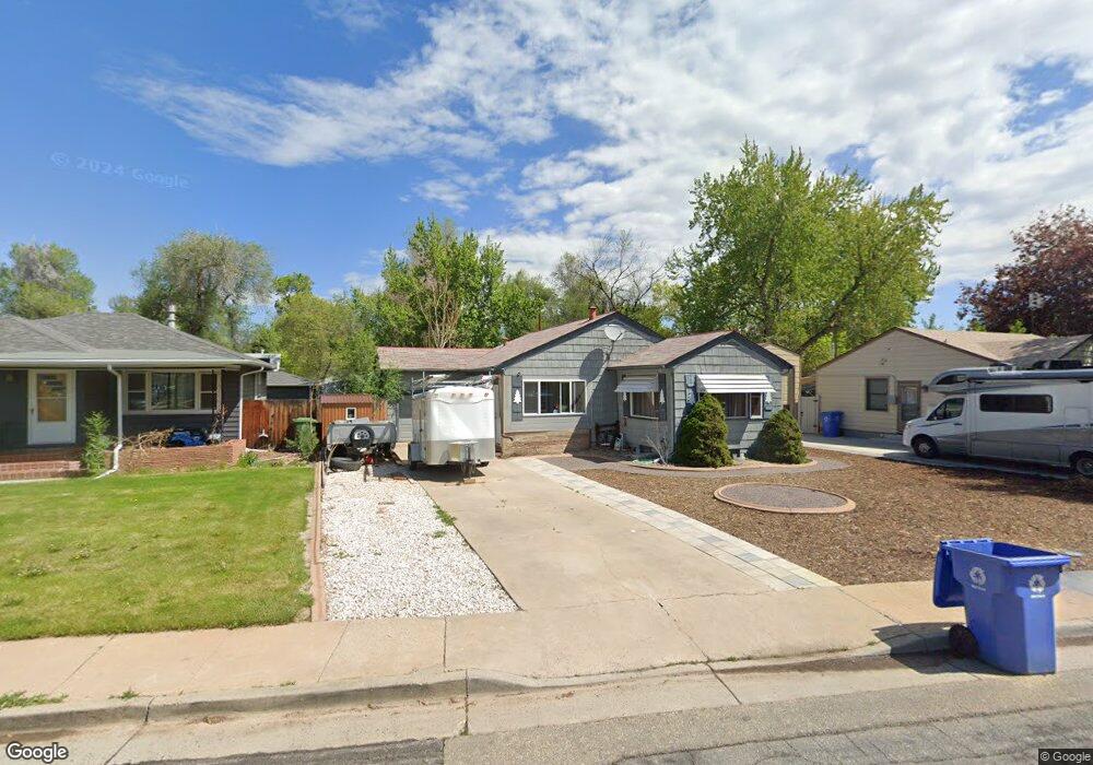
1015 W 7th St Loveland, CO 80537
Estimated Value: $426,991 - $531,000
4
Beds
2
Baths
2,088
Sq Ft
$226/Sq Ft
Est. Value
About This Home
This home is located at 1015 W 7th St, Loveland, CO 80537 and is currently estimated at $471,498, approximately $225 per square foot. 1015 W 7th St is a home located in Larimer County with nearby schools including Garfield Elementary School, Bill Reed Middle School, and Loveland High School.
Ownership History
Date
Name
Owned For
Owner Type
Purchase Details
Closed on
Sep 13, 2013
Sold by
Hillcrest Llc
Bought by
Loveland I Msl Llc
Current Estimated Value
Purchase Details
Closed on
Oct 26, 2009
Sold by
Helen R Fagan Family Trust
Bought by
Olmstead Brendon
Home Financials for this Owner
Home Financials are based on the most recent Mortgage that was taken out on this home.
Original Mortgage
$182,848
Interest Rate
5.05%
Mortgage Type
VA
Purchase Details
Closed on
Feb 21, 2007
Sold by
Fagan Helen R
Bought by
Helen R Fagan Family Trust
Purchase Details
Closed on
Jan 1, 1981
Bought by
Fagan Helen R
Create a Home Valuation Report for This Property
The Home Valuation Report is an in-depth analysis detailing your home's value as well as a comparison with similar homes in the area
Home Values in the Area
Average Home Value in this Area
Purchase History
| Date | Buyer | Sale Price | Title Company |
|---|---|---|---|
| Loveland I Msl Llc | -- | First American Title Company | |
| Olmstead Brendon | $179,000 | North American Title | |
| Helen R Fagan Family Trust | -- | None Available | |
| Fagan Helen R | -- | -- |
Source: Public Records
Mortgage History
| Date | Status | Borrower | Loan Amount |
|---|---|---|---|
| Previous Owner | Olmstead Brendon | $182,848 |
Source: Public Records
Tax History Compared to Growth
Tax History
| Year | Tax Paid | Tax Assessment Tax Assessment Total Assessment is a certain percentage of the fair market value that is determined by local assessors to be the total taxable value of land and additions on the property. | Land | Improvement |
|---|---|---|---|---|
| 2025 | $1,977 | $28,462 | $2,948 | $25,514 |
| 2024 | $1,907 | $28,462 | $2,948 | $25,514 |
| 2022 | $1,789 | $22,483 | $3,058 | $19,425 |
| 2021 | $1,838 | $23,130 | $3,146 | $19,984 |
| 2020 | $1,565 | $19,684 | $3,146 | $16,538 |
| 2019 | $1,539 | $19,684 | $3,146 | $16,538 |
| 2018 | $1,366 | $16,603 | $3,168 | $13,435 |
| 2017 | $1,177 | $16,603 | $3,168 | $13,435 |
| 2016 | $1,171 | $15,959 | $3,502 | $12,457 |
| 2015 | $1,161 | $15,960 | $3,500 | $12,460 |
| 2014 | $1,092 | $14,520 | $3,500 | $11,020 |
Source: Public Records
Map
Nearby Homes
- 914 W 6th St
- 610 California Ave
- 680 Colorado Ave
- 1330 W 6th St
- 633 W 6th St
- 1404 W 6th St
- 610 W 5th St
- 604 W 9th St
- 1016 Winona Cir
- 1100 N Taft Ave Unit 27
- 720 Roosevelt Ave
- 1667 Taft Gardens Cir
- 643 W 10th St
- 1100 Taft Ave Unit 46
- 1100 Taft Ave
- 1658 Taft Gardens Cir
- 625 Harrison Ave
- 1714 W 8th St
- 1205 Loch Mount Dr
- 905 Harrison Ave