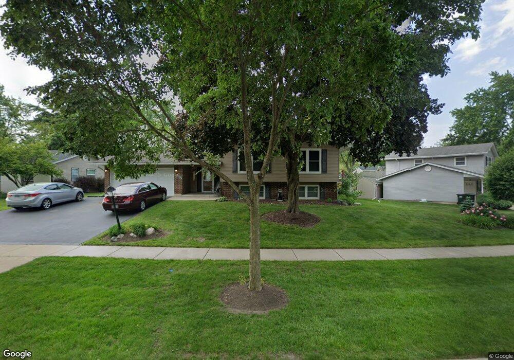
1015 W Firestone Dr Hoffman Estates, IL 60192
South Ridge NeighborhoodEstimated Value: $455,870 - $477,000
4
Beds
4
Baths
1,470
Sq Ft
$318/Sq Ft
Est. Value
About This Home
This home is located at 1015 W Firestone Dr, Hoffman Estates, IL 60192 and is currently estimated at $467,468, approximately $318 per square foot. 1015 W Firestone Dr is a home located in Cook County with nearby schools including Thomas Jefferson Elementary School, Frank C. Whiteley Elementary School, and William Fremd High School.
Ownership History
Date
Name
Owned For
Owner Type
Purchase Details
Closed on
Oct 11, 2022
Sold by
Michael-Radosta Lynda
Bought by
Lynda Michael-Radosta Trust
Current Estimated Value
Purchase Details
Closed on
May 31, 2012
Sold by
Faulkner Ashley B
Bought by
Faulkner Lynda M
Purchase Details
Closed on
Jul 15, 2004
Sold by
Krupa Andrew J and Krupa Rose M
Bought by
Faulkner Ashley B and Faulkner Lynda M
Home Financials for this Owner
Home Financials are based on the most recent Mortgage that was taken out on this home.
Original Mortgage
$230,000
Interest Rate
5.5%
Mortgage Type
Unknown
Create a Home Valuation Report for This Property
The Home Valuation Report is an in-depth analysis detailing your home's value as well as a comparison with similar homes in the area
Home Values in the Area
Average Home Value in this Area
Purchase History
| Date | Buyer | Sale Price | Title Company |
|---|---|---|---|
| Lynda Michael-Radosta Trust | -- | None Listed On Document | |
| Faulkner Lynda M | -- | None Available | |
| Faulkner Ashley B | -- | 1St American Title |
Source: Public Records
Mortgage History
| Date | Status | Borrower | Loan Amount |
|---|---|---|---|
| Previous Owner | Faulkner Ashley B | $230,000 |
Source: Public Records
Tax History
| Year | Tax Paid | Tax Assessment Tax Assessment Total Assessment is a certain percentage of the fair market value that is determined by local assessors to be the total taxable value of land and additions on the property. | Land | Improvement |
|---|---|---|---|---|
| 2025 | $10,222 | $44,001 | $11,057 | $32,944 |
| 2024 | $10,222 | $36,657 | $9,477 | $27,180 |
| 2023 | $10,247 | $36,657 | $9,477 | $27,180 |
| 2022 | $10,247 | $38,000 | $9,477 | $28,523 |
| 2021 | $8,404 | $28,426 | $6,581 | $21,845 |
| 2020 | $8,293 | $28,426 | $6,581 | $21,845 |
| 2019 | $8,209 | $31,515 | $6,581 | $24,934 |
| 2018 | $8,556 | $30,440 | $6,054 | $24,386 |
| 2017 | $8,415 | $30,440 | $6,054 | $24,386 |
| 2016 | $8,063 | $30,440 | $6,054 | $24,386 |
| 2015 | $7,288 | $26,072 | $5,528 | $20,544 |
| 2014 | $7,167 | $26,072 | $5,528 | $20,544 |
| 2013 | $6,968 | $26,072 | $5,528 | $20,544 |
Source: Public Records
Map
Nearby Homes
- 4175 Victoria Dr
- 940 Freeman Rd
- 825 Concord Ln
- 4480 Thornbark Dr
- 3881 Bordeaux Dr
- 765 Concord Ln
- 1210 Downing Dr
- 4475 Olmstead Dr
- 1404 W Sapphire Dr
- 4620 Olmstead Dr
- 1281 Old Timber Ct
- 1280 Clover Ln
- 10 Carnoustie Ln
- 4485 Bayside Cir
- 2113 Greenock
- 1690 Cape Breton Ct
- 1886 Clover Dr
- 4791 Amber Cir
- 4075 N Parkside Dr
- 545 Windsor Rd
- 1005 W Firestone Dr
- 4165 N Firestone Dr
- 4139 N Firestone Ct
- 995 W Firestone Dr
- 4155 N Firestone Dr
- 4143 N Firestone Ct
- 1020 W Firestone Dr
- 1030 W Firestone Dr
- 1010 W Firestone Dr
- 4135 N Firestone Ct
- 4145 N Firestone Ct
- 1000 W Firestone Dr
- 4190 N Firestone Dr
- 990 W Firestone Dr
- 4160 N Firestone Dr
- 1065 Freeman Rd
- 1055 Freeman Rd
- 4160 Ohare Dr
- 4131 N Firestone Ct
- 975 W Firestone Dr
Your Personal Tour Guide
Ask me questions while you tour the home.