10150 208th Ave Ottumwa, IA 52501
Estimated Value: $171,000 - $374,923
1
Bed
2
Baths
750
Sq Ft
$396/Sq Ft
Est. Value
About This Home
This home is located at 10150 208th Ave, Ottumwa, IA 52501 and is currently estimated at $297,231, approximately $396 per square foot. 10150 208th Ave is a home with nearby schools including Eddyville-Blakesburg- Fremont Junior/Senior High School.
Ownership History
Date
Name
Owned For
Owner Type
Purchase Details
Closed on
Jan 31, 2025
Sold by
Roberts Ronald D and Roberts Sherrie L
Bought by
Roberts David R
Current Estimated Value
Purchase Details
Closed on
Aug 5, 2011
Sold by
Roberts Ronald D and Roberts Sherrie L
Bought by
Roberts Ronald D and Roberts David R
Home Financials for this Owner
Home Financials are based on the most recent Mortgage that was taken out on this home.
Original Mortgage
$45,000
Interest Rate
4.64%
Mortgage Type
FHA
Create a Home Valuation Report for This Property
The Home Valuation Report is an in-depth analysis detailing your home's value as well as a comparison with similar homes in the area
Home Values in the Area
Average Home Value in this Area
Purchase History
| Date | Buyer | Sale Price | Title Company |
|---|---|---|---|
| Roberts David R | -- | None Listed On Document | |
| Roberts David R | -- | None Listed On Document | |
| Roberts Ronald D | -- | None Available |
Source: Public Records
Mortgage History
| Date | Status | Borrower | Loan Amount |
|---|---|---|---|
| Previous Owner | Roberts Ronald D | $45,000 |
Source: Public Records
Tax History Compared to Growth
Tax History
| Year | Tax Paid | Tax Assessment Tax Assessment Total Assessment is a certain percentage of the fair market value that is determined by local assessors to be the total taxable value of land and additions on the property. | Land | Improvement |
|---|---|---|---|---|
| 2025 | $2,768 | $302,250 | $29,050 | $273,200 |
| 2024 | $2,768 | $234,550 | $24,000 | $210,550 |
| 2023 | $1,500 | $234,550 | $24,000 | $210,550 |
| 2022 | $710 | $119,360 | $24,000 | $95,360 |
| 2021 | $710 | $52,620 | $24,000 | $28,620 |
| 2020 | $712 | $54,260 | $24,000 | $30,260 |
| 2019 | $680 | $51,230 | $0 | $0 |
| 2018 | $668 | $51,230 | $0 | $0 |
| 2017 | $670 | $51,230 | $0 | $0 |
| 2016 | $4 | $330 | $0 | $0 |
| 2015 | $4 | $330 | $0 | $0 |
| 2014 | -- | $330 | $0 | $0 |
Source: Public Records
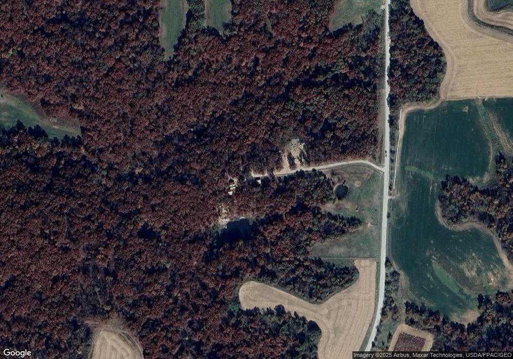
Map
Nearby Homes
- 0 87th St
- 20462
- 20462 Co Hwy H27
- 21065 Whiskey Ridge
- 000000 Whiskey Ridge
- 18781 125th St
- 18781 125 St
- 0 Whiskey Ridge Rd Unit NOC6326284
- 16311 Bluegrass Rd
- 1975 Greenwood Dr
- 2018 W Finley Ave
- 9450 150th Ave
- 1939 Gladstone St
- 1820 Richmond Ave
- 1820 Gladstone St
- 1529 Swanson Ave
- 439 Wildwood Dr
- 1021 Overman Ave
- 1510 Swanson Ave
- 312 E South St
- 10384 208th Ave
- 20867 105th St
- 10540 210th Ave
- 10542 210th Ave
- 20751 105th St
- 20759 105th St
- 10620 210th Ave
- 10620 210th Ave
- TBD 105th St
- 9602 208th Ave
- 20495 105th St
- 9765 205th Ave
- 9580 208th Ave
- 10801 210th Ave
- 10720 210th Ave
- 10861 210th Ave
- 20885 87th St
- 10938 210th Ave
- 17783 87th St
- 20950 87th St