10154 Upper State Line Rd Vivian, LA 71082
Estimated Value: $178,000 - $358,000
3
Beds
2
Baths
2,176
Sq Ft
$136/Sq Ft
Est. Value
About This Home
This home is located at 10154 Upper State Line Rd, Vivian, LA 71082 and is currently estimated at $296,064, approximately $136 per square foot. 10154 Upper State Line Rd is a home with nearby schools including Judson Fundamental Elementary School, Fairfield Magnet School, and Herndon Magnet School.
Ownership History
Date
Name
Owned For
Owner Type
Purchase Details
Closed on
May 26, 2010
Sold by
Killina Letitia Shores
Bought by
Killian Kristopher Kain
Current Estimated Value
Purchase Details
Closed on
May 19, 2010
Sold by
Investments 2234 Llc
Bought by
Investments 2234 Llc
Purchase Details
Closed on
Jun 5, 2009
Sold by
Killian Holbert David
Bought by
Killian Kristopher Kain
Purchase Details
Closed on
Jun 2, 2006
Sold by
Dance Claude and Dance Claude
Bought by
Mooring Tax Asset Group Iv
Purchase Details
Closed on
Apr 19, 2006
Sold by
Killian Letitia S and Killian David H
Bought by
Killan H David and Killan Letitla S
Create a Home Valuation Report for This Property
The Home Valuation Report is an in-depth analysis detailing your home's value as well as a comparison with similar homes in the area
Home Values in the Area
Average Home Value in this Area
Purchase History
We collect this data history from publicly available records. To have your information removed, we recommend requesting removal directly through your county’s website.
| Date | Buyer | Sale Price | Title Company |
|---|---|---|---|
| Killian Kristopher Kain | -- | None Available | |
| Investments 2234 Llc | -- | None Available | |
| Killian Kristopher Kain | $25,000 | None Available | |
| Mooring Tax Asset Group Iv | $2,287 | None Available | |
| Killan H David | -- | None Available |
Source: Public Records
Tax History
| Year | Tax Paid | Tax Assessment Tax Assessment Total Assessment is a certain percentage of the fair market value that is determined by local assessors to be the total taxable value of land and additions on the property. | Land | Improvement |
|---|---|---|---|---|
| 2025 | $3,293 | $20,576 | $385 | $20,191 |
| 2024 | $3,278 | $20,576 | $385 | $20,191 |
| 2023 | $3,112 | $19,112 | $370 | $18,742 |
| 2022 | $3,112 | $19,112 | $370 | $18,742 |
| 2021 | $3,113 | $19,112 | $370 | $18,742 |
| 2020 | $3,100 | $19,112 | $370 | $18,742 |
| 2019 | $3,010 | $18,731 | $370 | $18,361 |
| 2018 | $1,865 | $18,731 | $370 | $18,361 |
| 2017 | $2,445 | $15,071 | $370 | $14,701 |
| 2015 | $1,540 | $16,570 | $368 | $16,202 |
| 2014 | $187 | $7,740 | $370 | $7,370 |
| 2013 | -- | $7,740 | $370 | $7,370 |
Source: Public Records
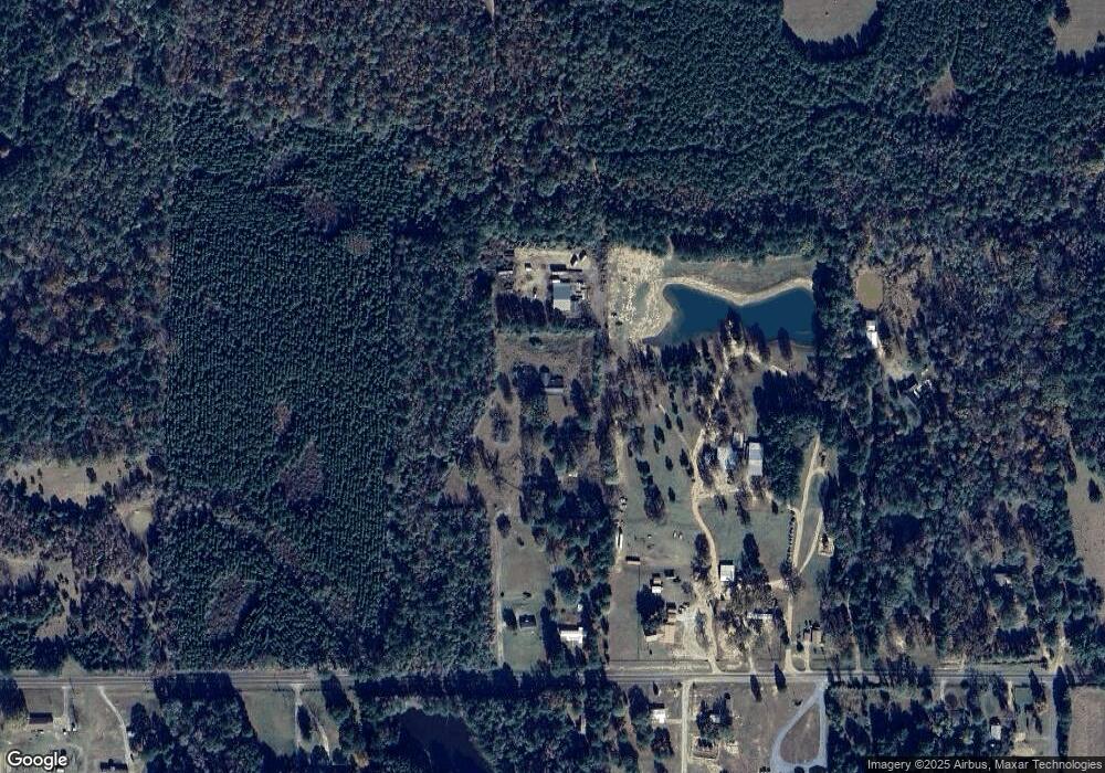
Map
Nearby Homes
- Lot 14 Peaceful Pines Ln
- Lot 4 Peaceful Pines Ln
- Lot 2 Peaceful Pines Ln
- Lot 6 Peaceful Pines Ln
- Lot 5 Peaceful Pines Ln
- Lot 12 Peaceful Pines Ln
- 307 Gilbert Dr
- 711 W Georgia Ave
- 101 N Walnut St
- 00 10651 Murry Ln
- 612 S Cypress St
- 1 E Mary Ann St
- 0 E Mary Ann St
- 1005 S Cypress St
- 325 E Oklahoma Ave
- 1701 N Pine St
- 0 Camelia St
- 0 Boyter Ln
- 10744 Monterey School Rd
- 10651 Murry Ln
- 10110 Upper State Line Rd
- 10110 Upper State Line Rd
- 10110 Upper State Line Rd
- 10110 Upper State Line Rd
- 10136 Upper State Line Rd
- 14490 Peaceful Pines
- 10050 Upper State Line Rd
- 10038 Upper State Line Rd
- 10217 Upper State Line Rd
- 14470 Peaceful Pines
- 14470 Peaceful Pines
- 10002 Upper State Line Rd
- 10026 Upper State Line Rd
- 17876 None
- 10021 Upper State Line Rd
- 10075 Upper State Line Rd
- 14488 Upper State Line Rd
- 439 Redbud Ln
- 10285 Upper State Line Rd
- 10285 Upper State Line Rd
Your Personal Tour Guide
Ask me questions while you tour the home.